MyTopo
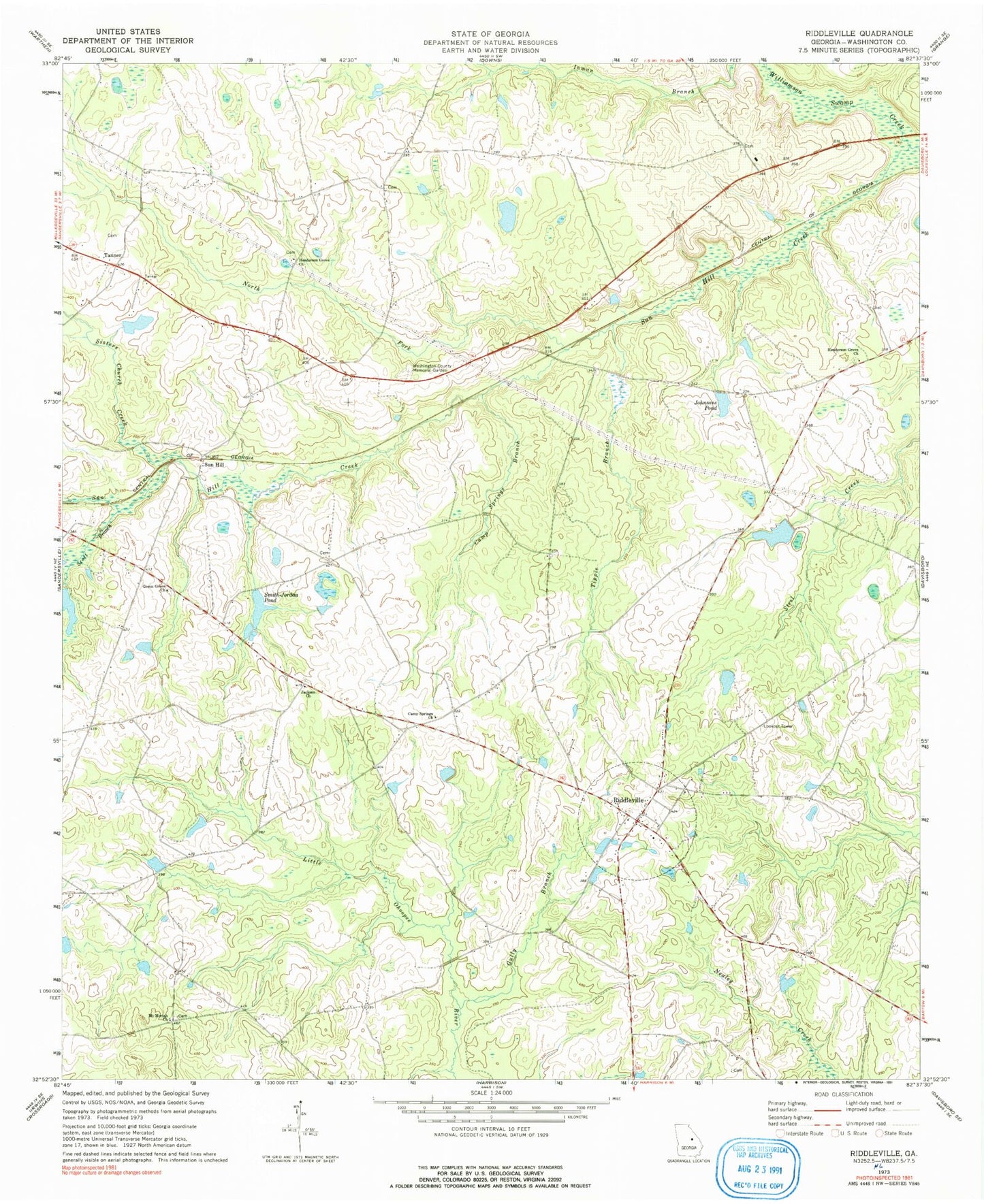
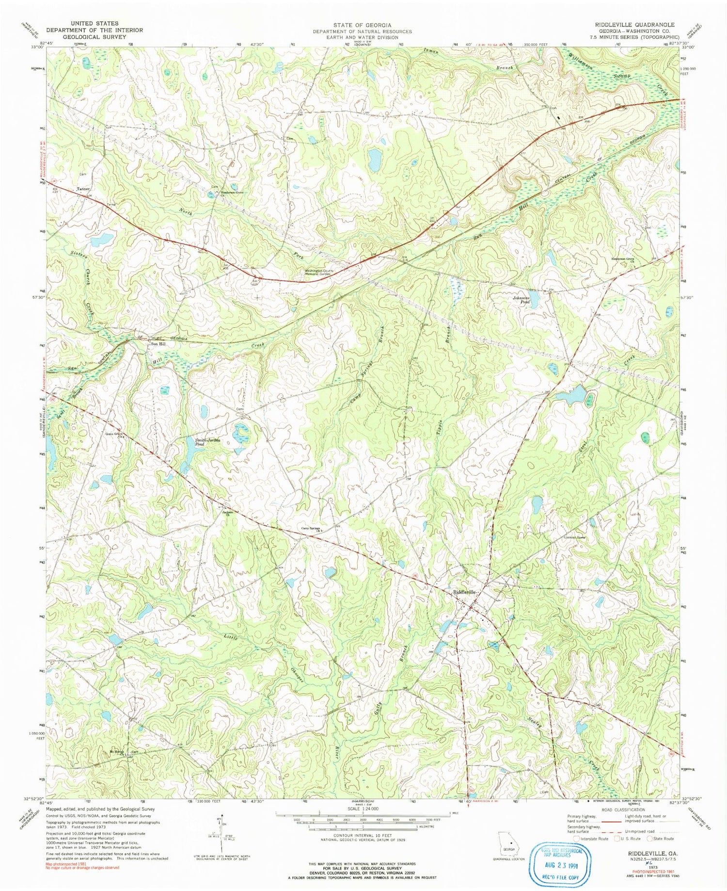
Classic USGS Riddleville Georgia 7.5'x7.5' Topo Map
Couldn't load pickup availability
Historical USGS topographic quad map of Riddleville in the state of Georgia. Map scale may vary for some years, but is generally around 1:24,000. Print size is approximately 24" x 27"
This quadrangle is in the following counties: Washington.
The map contains contour lines, roads, rivers, towns, and lakes. Printed on high-quality waterproof paper with UV fade-resistant inks, and shipped rolled.
Contains the following named places: Ammie S Page Memorial Baptist Church, Bretts Lake, Bretts Lake Dam, Browns Grove School, Camp Springs Branch, Camp Springs Church, Ethridge Lake, Ethridge Lake Dam, Green Grove Church, Gully Branch, Hartley Farms, Heidrich, Henderson Grove Church, Jackson Cemetery, Jackson Church, Johnsons Pond, Joiners Branch, Jones Cemetery, McCoys Pond, Morris Lake, Morris Lake Dam, Mount Moriah Church, Mount Moriah Church Cemetery, Newsome Cemetery, North Fork Sun Hill Creek, Pat Pate Dam, Riddleville, Riddleville Volunteer Fire Department, Rogers Branch, Rose, Scott Branch, Sheppard Lake, Sheppard Lake Dam, Sisters Church Creek, Smith-Jordan Pond, Smith-Jordan Pond Dam, Sun Hill, Sun Hill Creek, Tanner, Tippie Branch, Town of Riddleville, Washington County Memorial Garden Cemetery, Wisdom School, ZIP Code: 31018


