MyTopo
Classic USGS Ridge West Virginia 7.5'x7.5' Topo Map
Couldn't load pickup availability
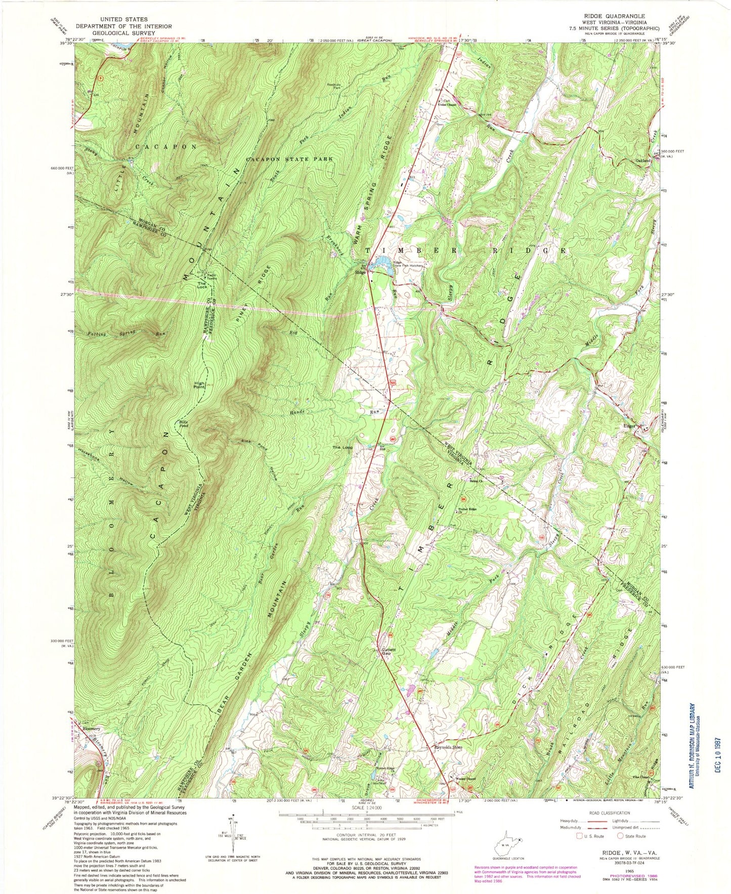
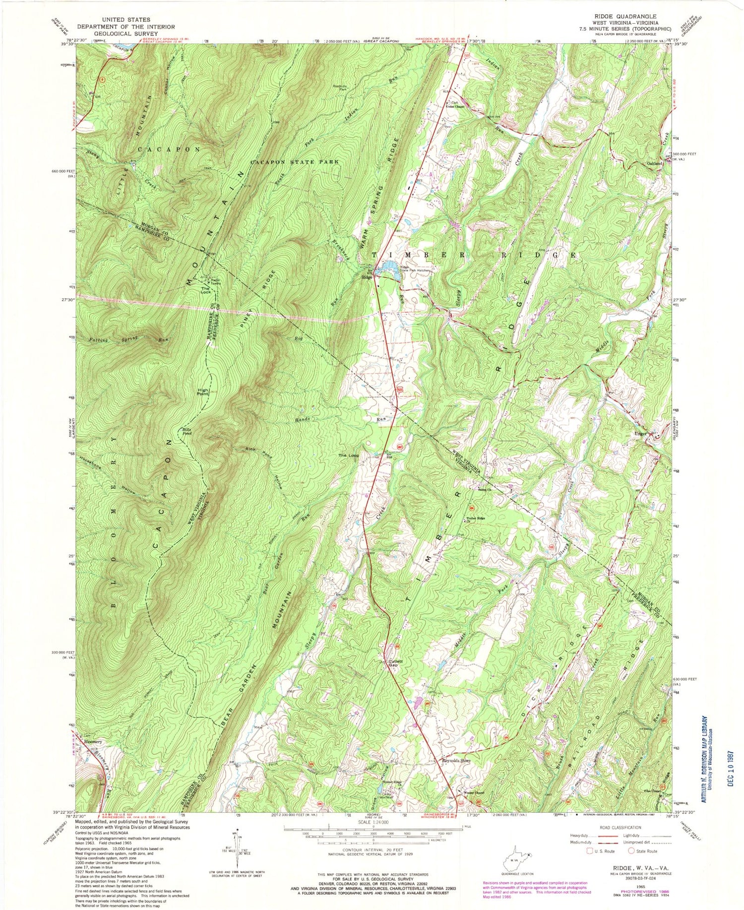
Historical USGS topographic quad map of Ridge in the states of West Virginia, Virginia. Map scale may vary for some years, but is generally around 1:24,000. Print size is approximately 24" x 27"
This quadrangle is in the following counties: Frederick, Hampshire, Morgan.
The map contains contour lines, roads, rivers, towns, and lakes. Printed on high-quality waterproof paper with UV fade-resistant inks, and shipped rolled.
Contains the following named places: Beacon Baptist Church Cemetery, Bear Garden Run, Big Run, Bills Pond, Birch Grove School, Bloomery, Bloomery Post Office, Bloomery Presbyterian Church, Breakneck Run, Cacapon Mountain, Camp Win-Wah, Catlett Gap, Columbia Baptist Church, Dick Ridge, Dicks School, Fairview School, Files Chapel, Frederick County Fire and Rescue Department Station 20 - Reynolds Store Volunteer Fire and Rescue, Hands Run, High Point, Hinckle, Indian Run, Leary Educational Center, Little Mountain, McIntire Cemetery, Morton Grove, Morton Grove School, Oakland, Old Romney Grade, Omps Farm Spring, Overmale Springs, Piney Ridge, Railroad Ridge, Reynolds Store, Reynolds Store Neighborhood Park, Ridge, Ridge Hatchery Spring, Ridge State Fish Hatchery, Salem Cemetery, Salem Church, Salem Methodist Episcopal Church, Sink Pond Hollow, The Lock, The Loope, Timber Ridge Church, Timber Ridge School, Touhey Cemetery, Unger, Unger Post Office, Union Chapel Cemetery, Union Chapel United Methodist Church, Warm Springs Ridge, Wesley Chapel, ZIP Code: 22625


