MyTopo
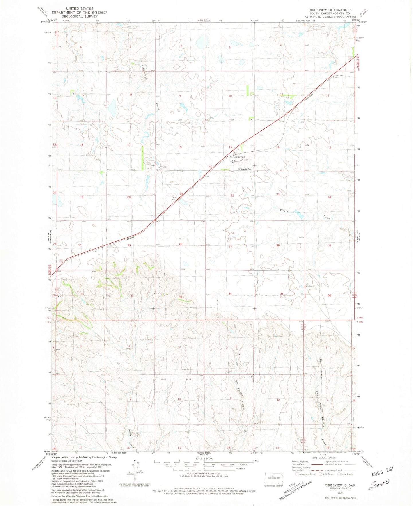
Classic USGS Ridgeview South Dakota 7.5'x7.5' Topo Map
Couldn't load pickup availability
Historical USGS topographic quad map of Ridgeview in the state of South Dakota. Map scale may vary for some years, but is generally around 1:24,000. Print size is approximately 24" x 27"
This quadrangle is in the following counties: Dewey.
The map contains contour lines, roads, rivers, towns, and lakes. Printed on high-quality waterproof paper with UV fade-resistant inks, and shipped rolled.
Contains the following named places: C J Larson Number 1 Dam, C Peterson Number 2 Dam, C Peterson Number 3 Dam, C Peterson Number 4 Dam, H Lesmeister Dam, Hiett Ranch, Joe Gesinger Number 1 Dam, John Gesinger Number 1 Dam, R Bartels Number 1 Dam, Ridgeview, Ridgeview Post Office, Saint Josephs Cemetery, Saint Josephs Church