MyTopo
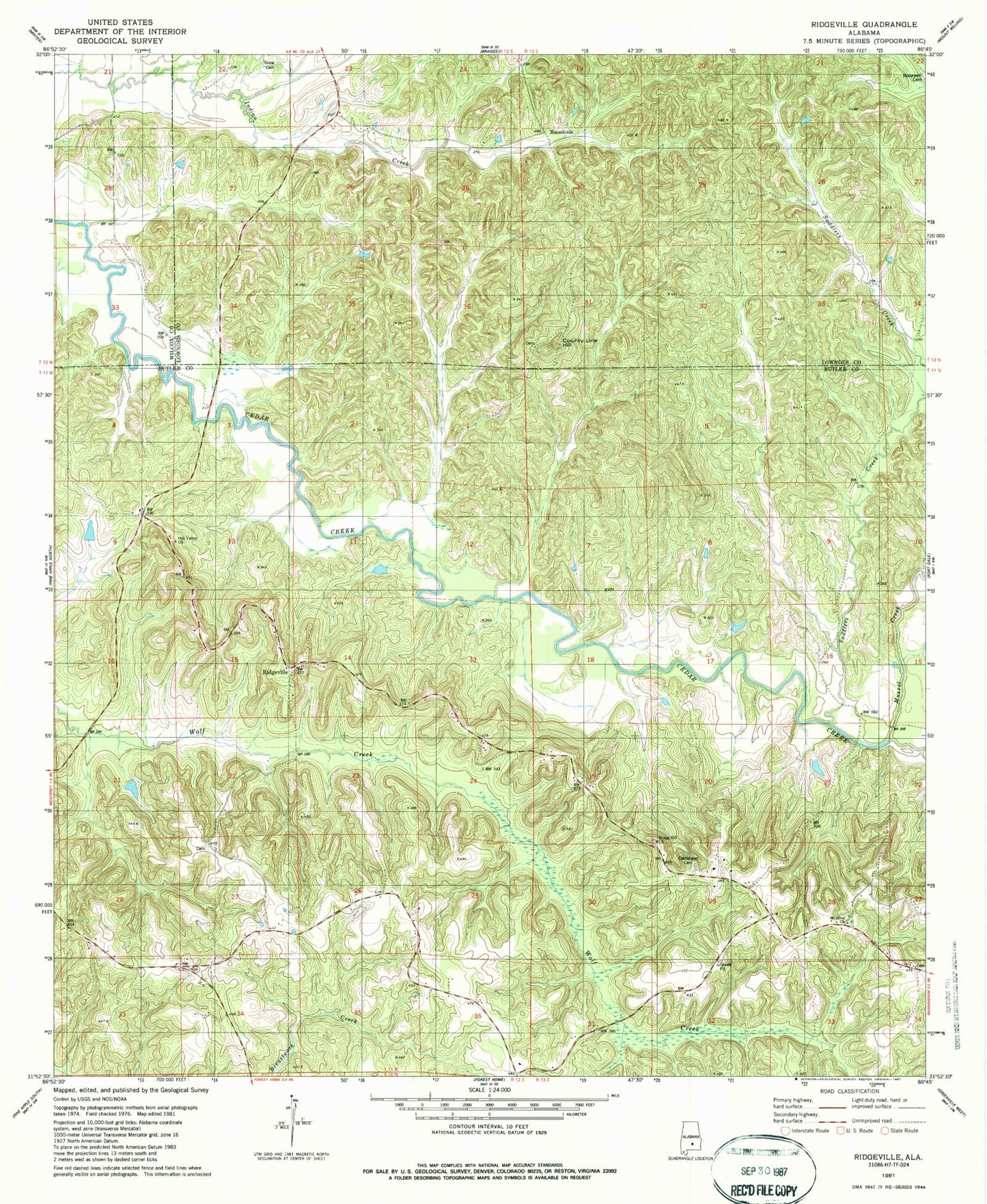
Classic USGS Ridgeville Alabama 7.5'x7.5' Topo Map
Couldn't load pickup availability
Historical USGS topographic quad map of Ridgeville in the state of Alabama. Map scale may vary for some years, but is generally around 1:24,000. Print size is approximately 24" x 27"
This quadrangle is in the following counties: Butler, Lowndes, Wilcox.
The map contains contour lines, roads, rivers, towns, and lakes. Printed on high-quality waterproof paper with UV fade-resistant inks, and shipped rolled.
Contains the following named places: Bragg Cemetery, Bragg Hill Church, Bragg Hill School, County Line Hill, Crenshaws Cemetery, Forest Home Division, Herbert Temple Church, Ishams Creek, Jerusalem Church, Macedonia, Manningham Cemetery, Mount Olive Church, Mussel Creek, Oak Valley Church, Oklahoma School, Palmyra, Perkins Chapel Church, Ridgeville, Ridgeville Church, Snow Cemetery, Thompson Cemetery