MyTopo
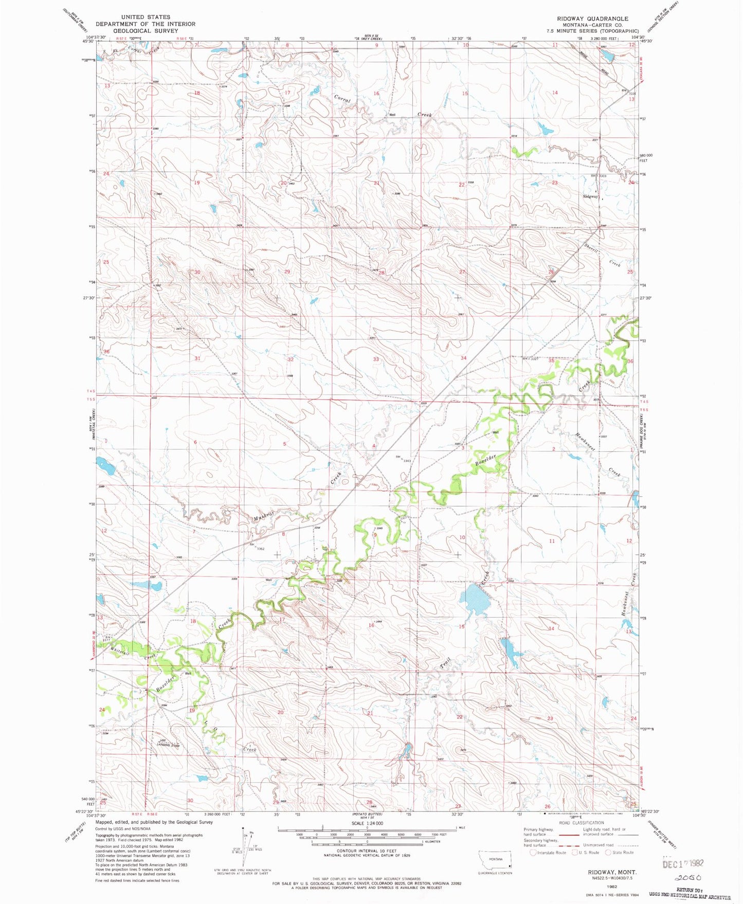
Classic USGS Ridgway Montana 7.5'x7.5' Topo Map
Couldn't load pickup availability
Historical USGS topographic quad map of Ridgway in the state of Montana. Map scale may vary for some years, but is generally around 1:24,000. Print size is approximately 24" x 27"
This quadrangle is in the following counties: Carter.
The map contains contour lines, roads, rivers, towns, and lakes. Printed on high-quality waterproof paper with UV fade-resistant inks, and shipped rolled.
Contains the following named places: 05S58E08DBCC01 Well, 05S58E17BAAB01 Well, Blackford Number 3 Dam, Blackford Number 5 Dam, Ewalt School, Hawks Home Post Office, Hope Baptist Church, L O Creek, Muskrat Creek, R Owen Number 1 Dam, Ridgeway, Ridgway Post Office, Ridgway School, South Fork Corral Creek, Trail Creek, Whitetail Creek