MyTopo
Classic USGS Ridgway Pennsylvania 7.5'x7.5' Topo Map
Couldn't load pickup availability
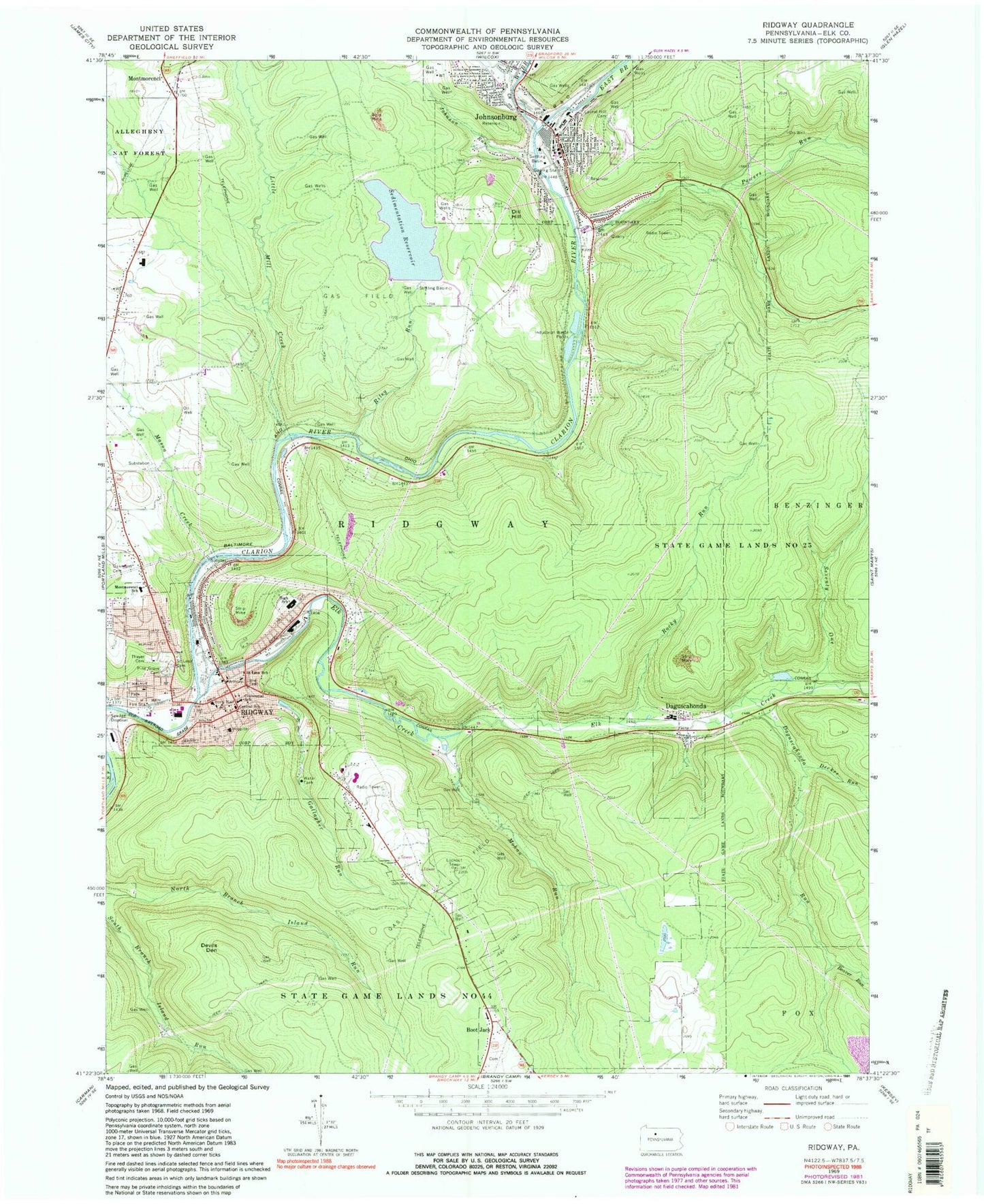
Historical USGS topographic quad map of Ridgway in the state of Pennsylvania. Map scale may vary for some years, but is generally around 1:24,000. Print size is approximately 24" x 27"
This quadrangle is in the following counties: Elk.
The map contains contour lines, roads, rivers, towns, and lakes. Printed on high-quality waterproof paper with UV fade-resistant inks, and shipped rolled.
Contains the following named places: Bailey Run Reservoir, Beaver Run, Boot Jack, Boot Jack Fire Tower, Boro Hall, Borough of Johnsonburg, Borough of Ridgway, Centennial School, Central School, Daguscahonda, Daguscahonda Run, Decker Run, Devils Den, Dill Hill, East Branch Clarion River, Elk County, Elk County Sheriff's Office, Elk Creek, Gallagher Run, Johnson Run, Johnsonburg, Johnsonburg Borough Police Department, Johnsonburg Fire Department Company 2, Johnsonburg Post Office, Laurel Hill Cemetery, Little Mill Creek, Mason Creek, Mohan Run, Montmorenci, Montmorenci School, Oakmont Cemetery, Parklawn Memorial Gardens, Pennsylvania State Police Troop C Ridgway Station, Pine Grove Cemetery, Powers Run, Ridgway, Ridgway Ambulance Station 420, Ridgway Fire Department Company 4 Station 41, Ridgway Fire Department Company 4 Station 42, Ridgway Fire Department Company 4 Station 43, Ridgway Fire Department Company 4 Station 44, Ridgway Post Office, Riley Run, Riley Run Dam, Rocky Run, Rolfe, Saint Leo's Cemetery, Saint Leos School, Sedimentation Reservoir, Seventy One, Silver Creek, Thayer Cemetery, Township of Ridgway, West Branch Clarion River, Whistletown, WKBI-FM (Ridgeway), ZIP Code: 15845


