MyTopo
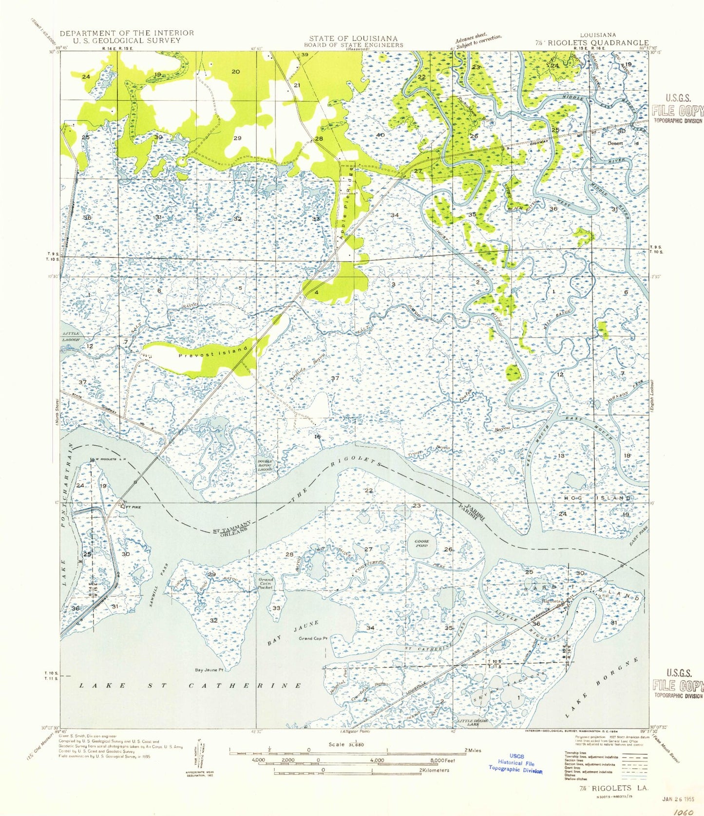
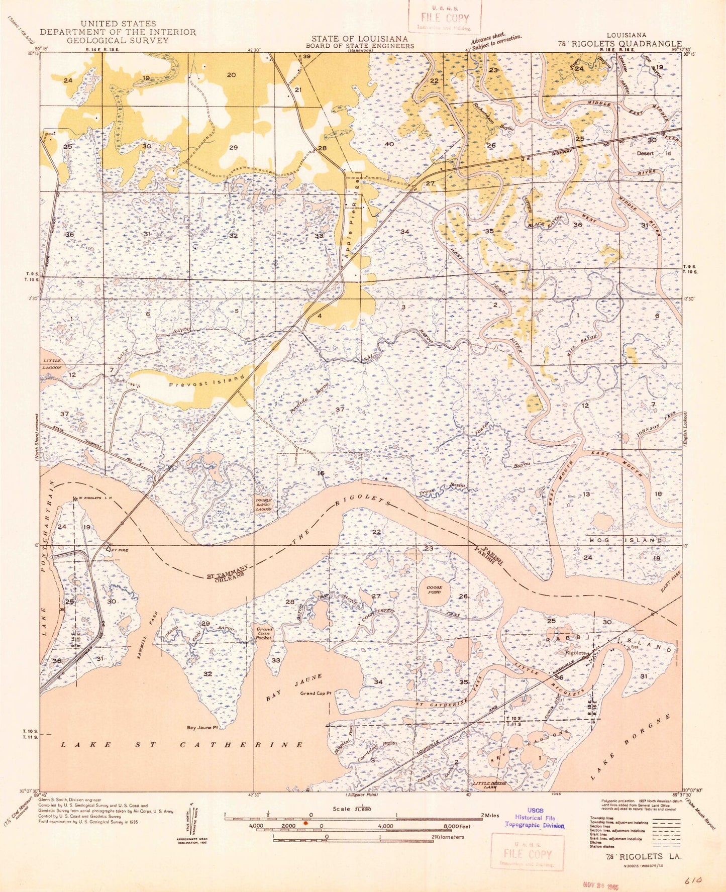
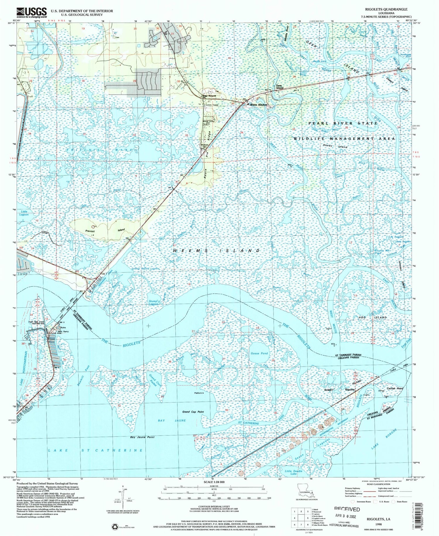
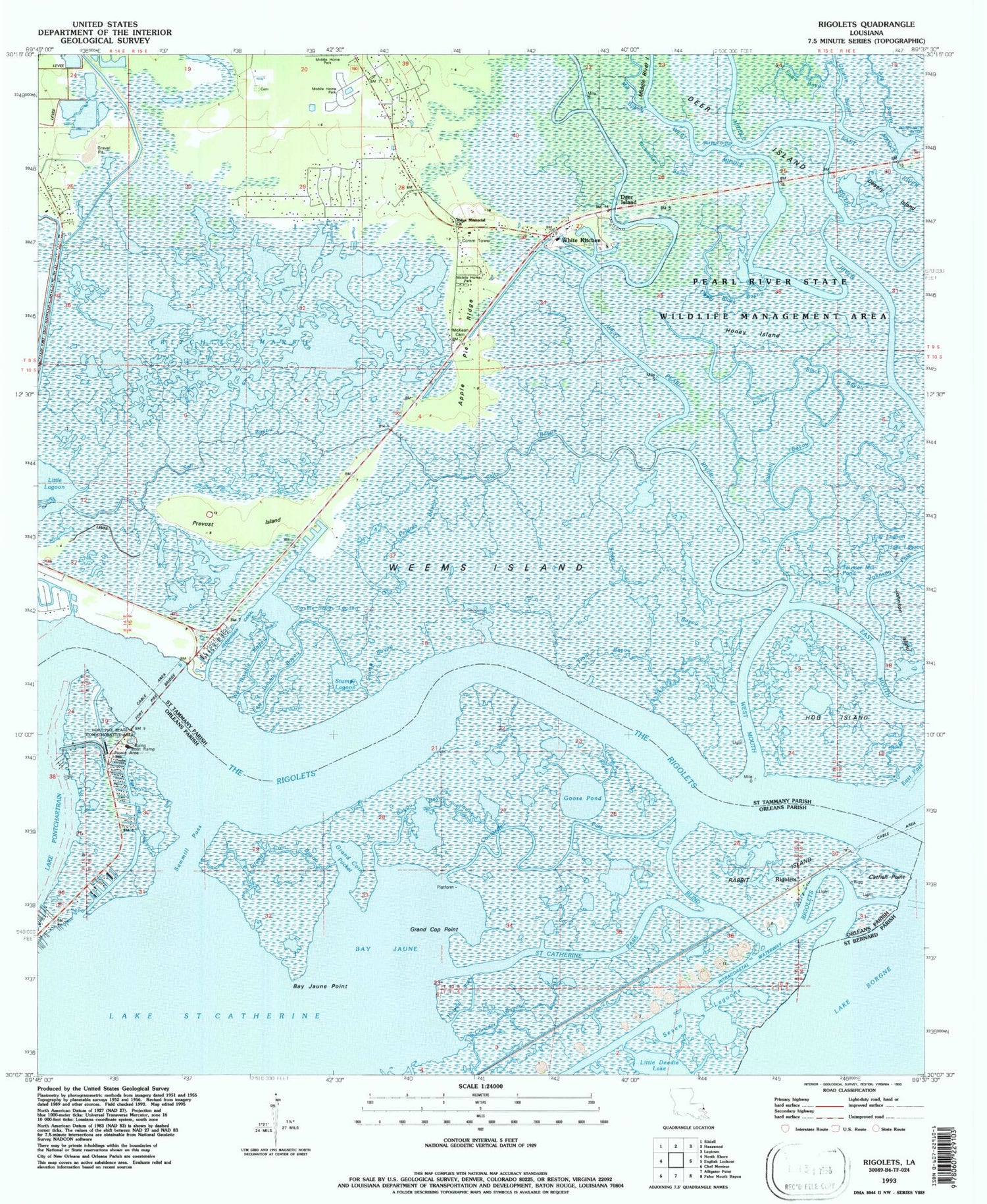
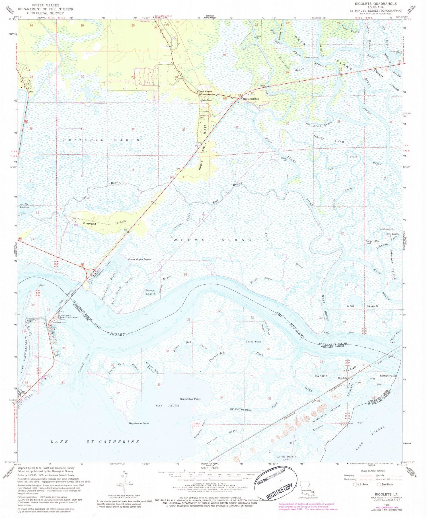
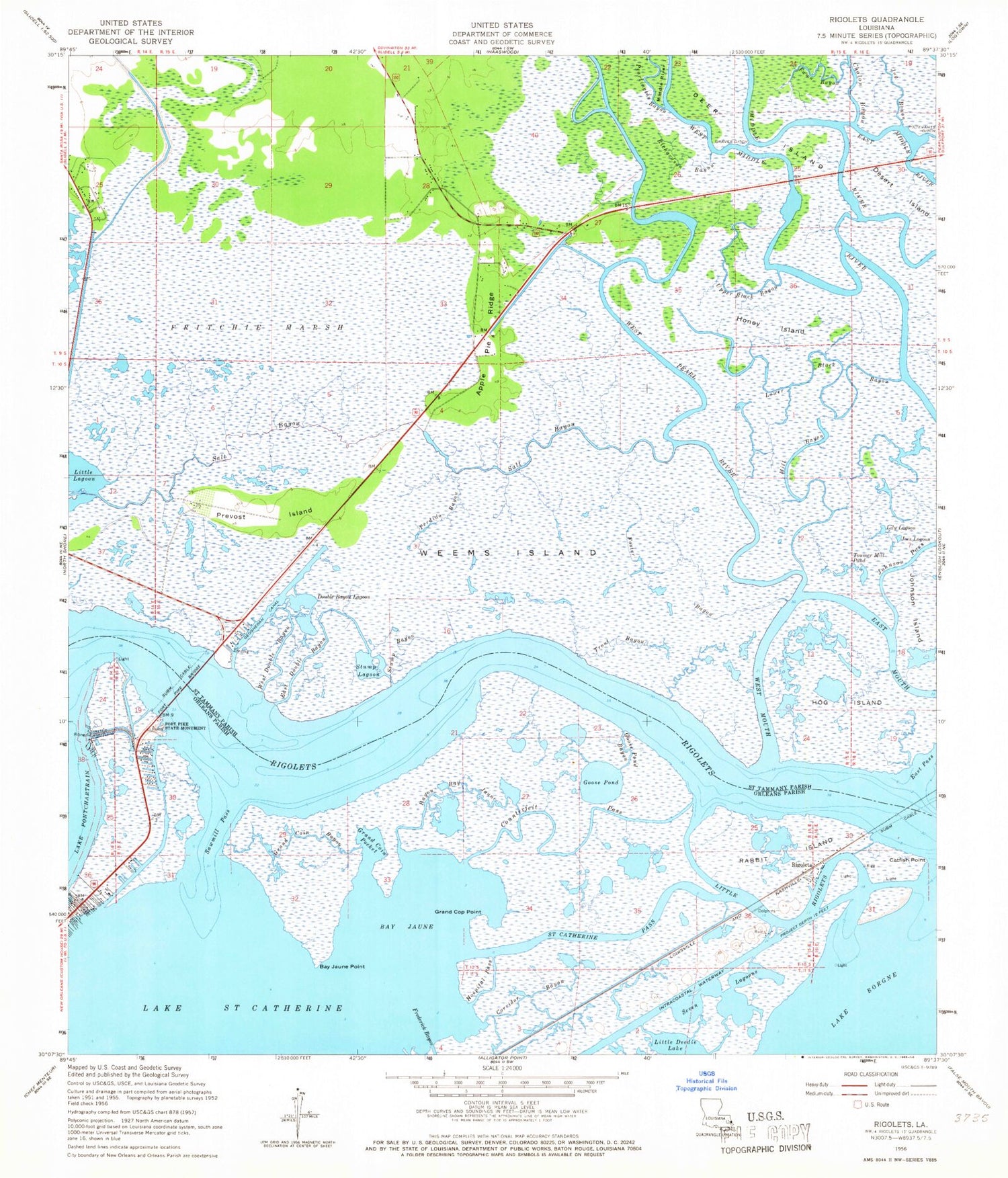
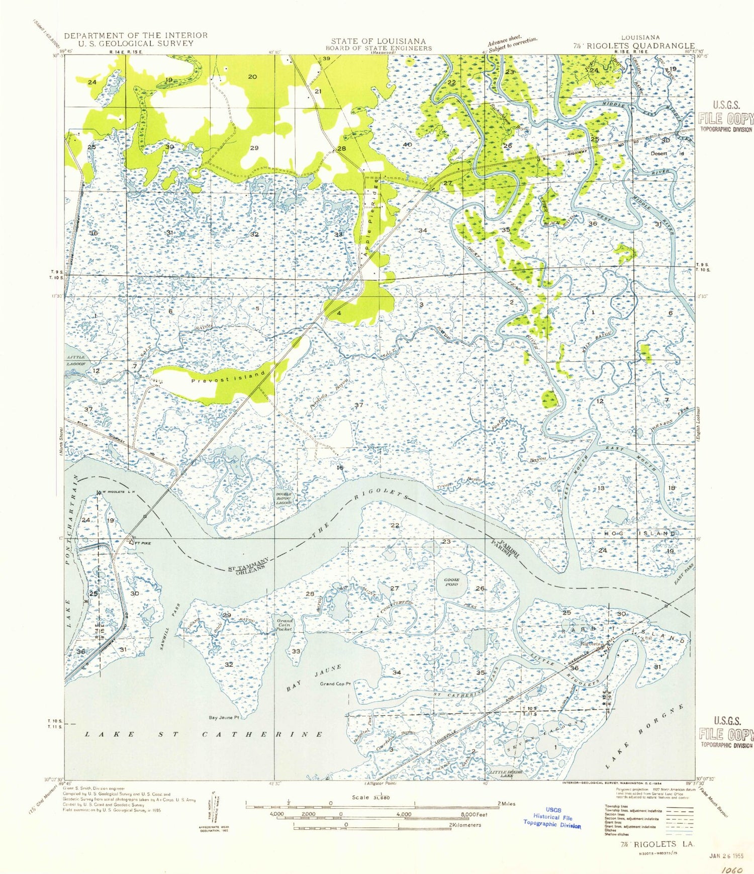
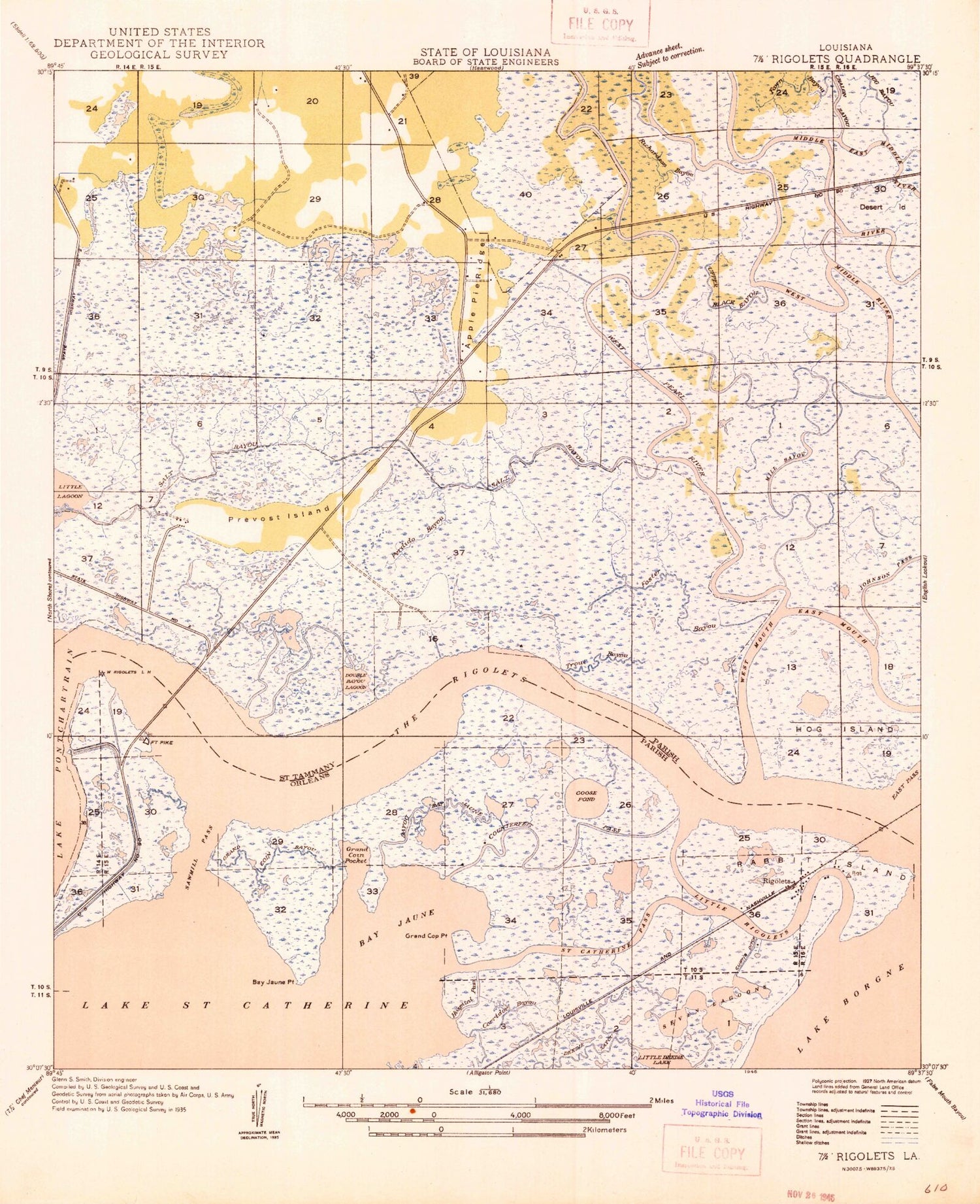
Classic USGS Rigolets Louisiana 7.5'x7.5' Topo Map
Couldn't load pickup availability
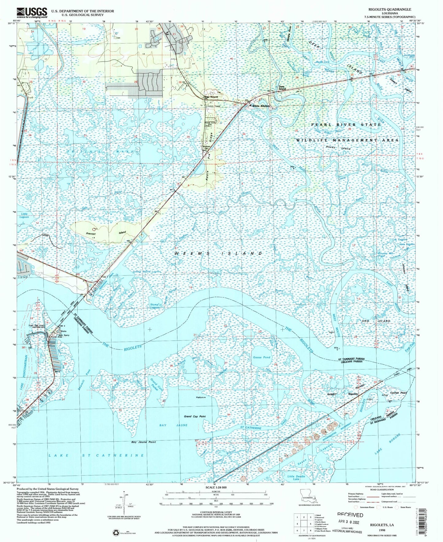
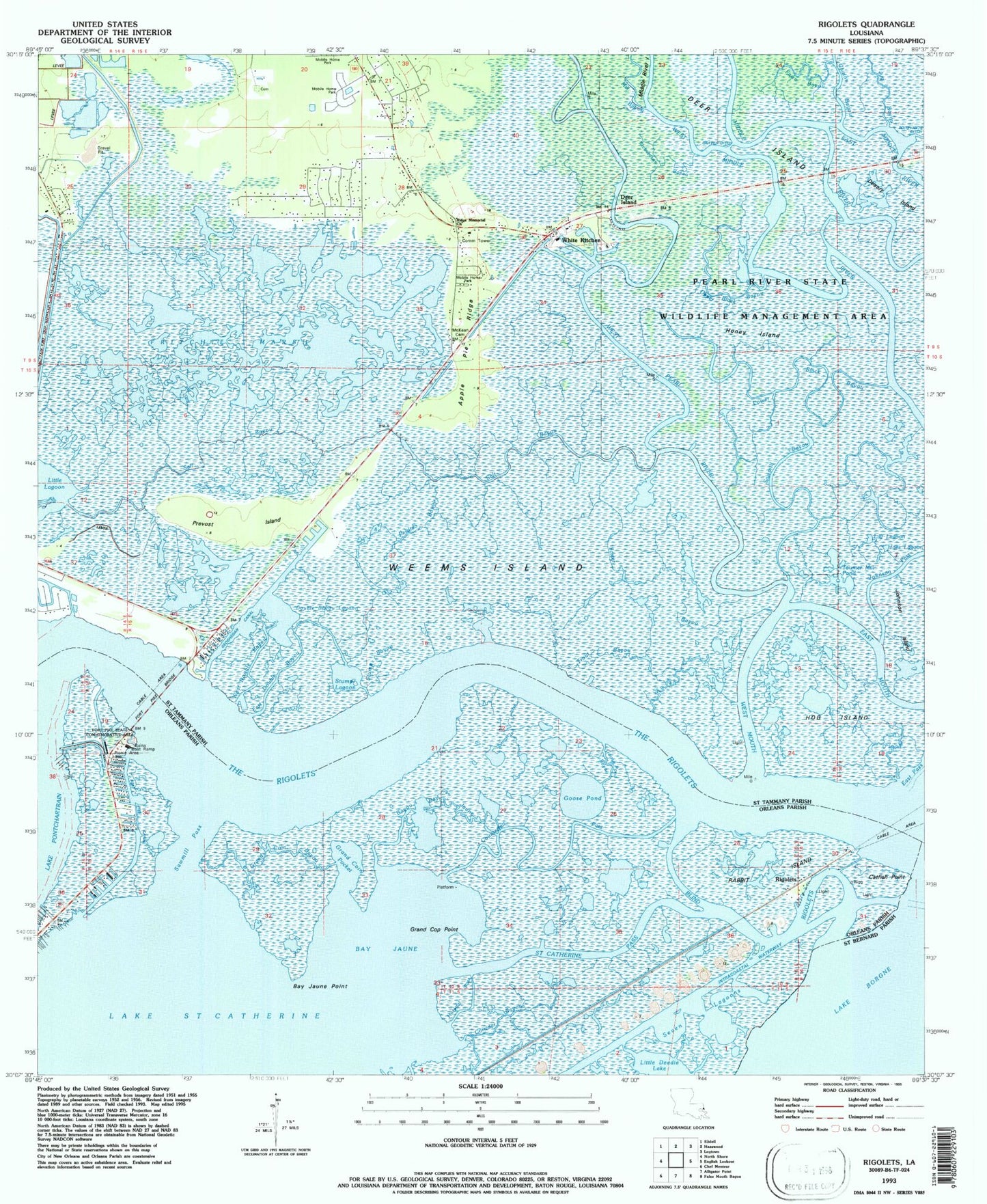
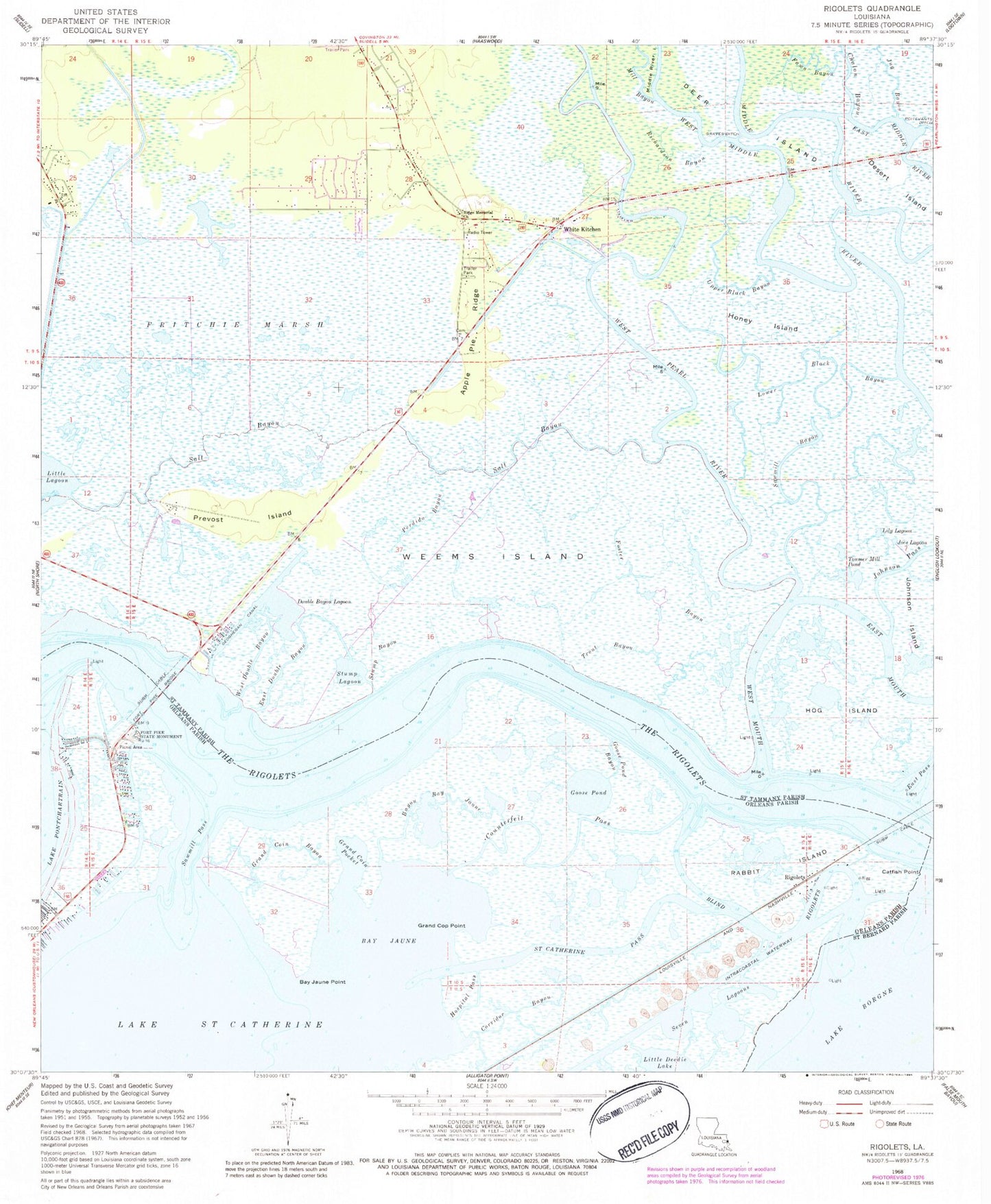
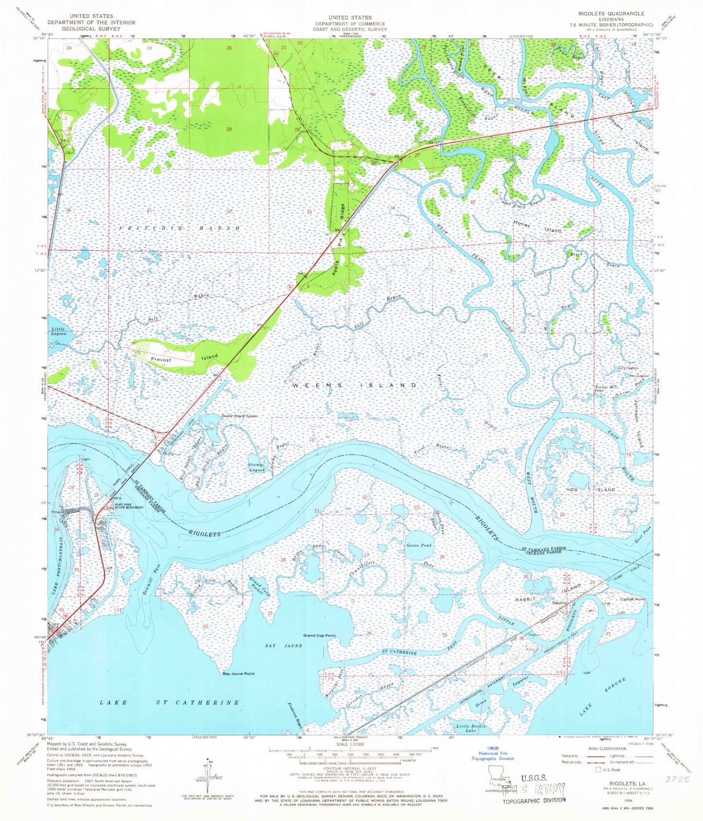
Historical USGS topographic quad map of Rigolets in the state of Louisiana. Map scale may vary for some years, but is generally around 1:24,000. Print size is approximately 24" x 27"
This quadrangle is in the following counties: Orleans, St. Bernard, St. Tammany.
The map contains contour lines, roads, rivers, towns, and lakes. Printed on high-quality waterproof paper with UV fade-resistant inks, and shipped rolled.
Contains the following named places: Apple Pie Ridge, Avery Estates, Bay Jaune, Bay Jaune Point, Bayou Bay Jaune, Catfish Point, Chalon Bayou, Corridor Bayou, Counterfeit Pass, Deer Island, Desert Island, Double Bayou Lagoon, East Double Bayou, East Mouth, Fawn Bayou, Fort Pike Bridge, Fort Pike Canal, Fort Pike Gas Field, Fort Pike State Historic Site, Foster Bayou, Fritchie Marsh, Geoghegan Canal, Goose Pond, Goose Pond Bayou, Grand Coin Bayou, Grand Coin Pocket, Grand Cop Point, Graves Ditch, Hog Island, Honey Island, Hospital Pass, Joes Lagoon, Johnson Island, Johnson Pass, Jug Bayou, Lake Saint Catherine, Lily Lagoon, Little Deedie Lake, Little Lagoon, Lower Black Bayou, McKean Cemetery, Mill Bayou, Northshore Mobile Home Park, Parish Governing Authority District 13, Perdido Bayou, Petites Coquilles, Pike Fort, Prevost Island, Rabbit Island, Richardson Bayou, Ridge Memorial Church, Rigolets, Rigolets Seaplane Base, Saint Catherine Pass, Salt Bayou, Sawmill Bayou, Sawmill Pass, Seven Lagoons, Stump Bayou, Stump Lagoon, The Rigolets, Toumer Mill Pond, Trout Bayou, Upper Black Bayou, Weems Island, West Double Bayou, West Mouth, West Pearl River, White Kitchen, ZIP Code: 70461
