MyTopo
Classic USGS Riley Ridge California 7.5'x7.5' Topo Map
Couldn't load pickup availability
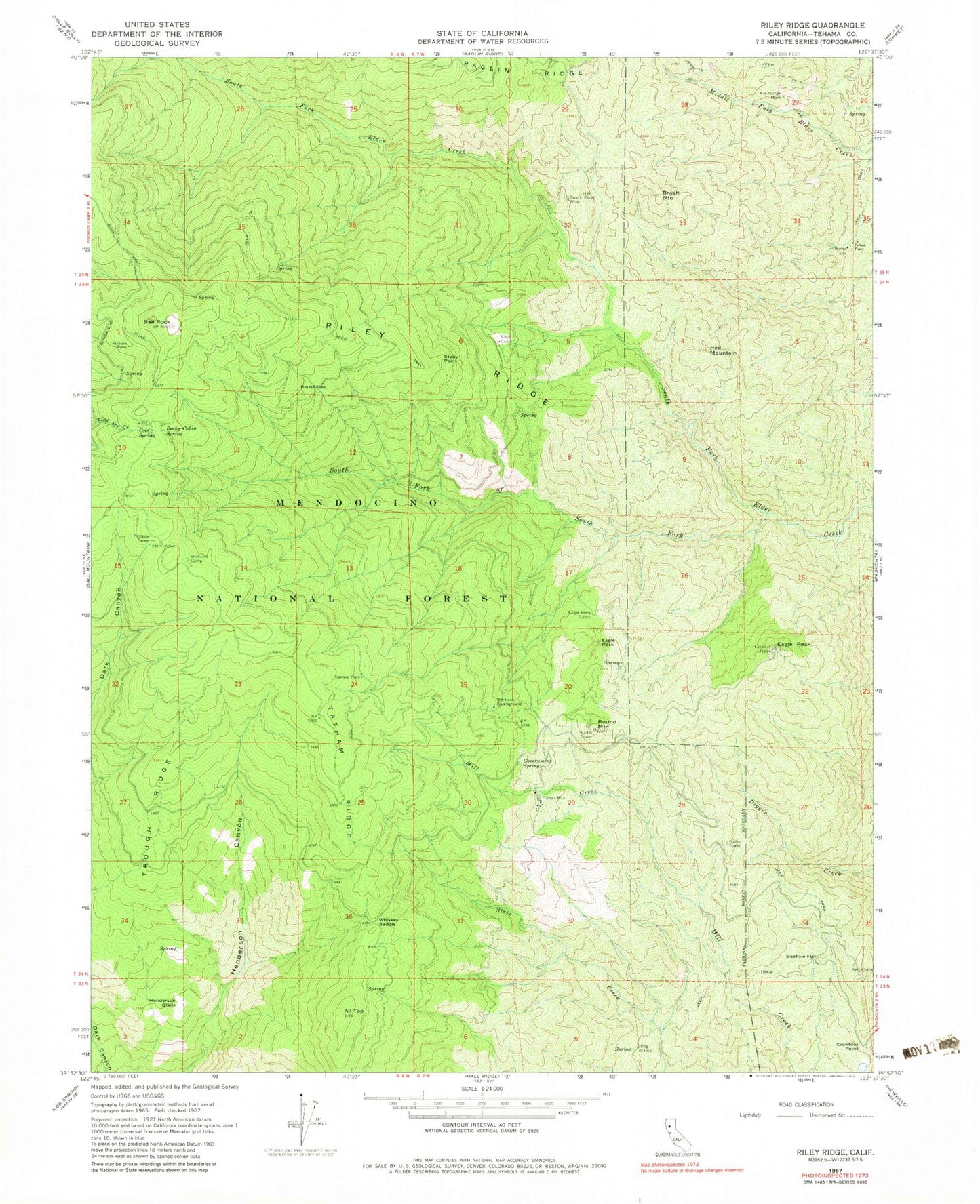
Historical USGS topographic quad map of Riley Ridge in the state of California. Map scale may vary for some years, but is generally around 1:24,000. Print size is approximately 24" x 27"
This quadrangle is in the following counties: Tehama.
The map contains contour lines, roads, rivers, towns, and lakes. Printed on high-quality waterproof paper with UV fade-resistant inks, and shipped rolled.
Contains the following named places: All Top, Ball Rock, Beehive Flat, Brush Mountain, Cold Spring, Crowfoot Point, Dawson Place, Eagle Peak, Eagle Rock, Eagle Rock Camp, Government Spring, Henderson Glade, Horse Camp Recreation Site, KALF-FM (Red Bluff), KCEZ-FM (Corning), Kleinsorge Mine, Mitchell Place, Patton Mill, Pellow Place, Postpile Camp, Red Mountain, Riley Cabin, Riley Ridge, Rocky Cabin Recreation Site, Rocky Cabin Spring, Round Mountain, South Elder Mine, Steuben Place, Stony Point, Tatham Ridge, Trough Ridge, Whiskey Saddle, Whitlock Campground, Williams Camp