MyTopo
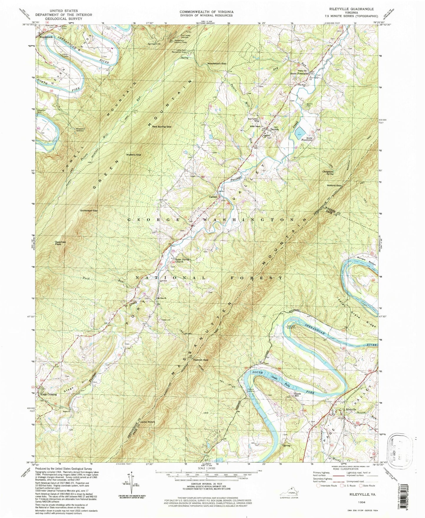
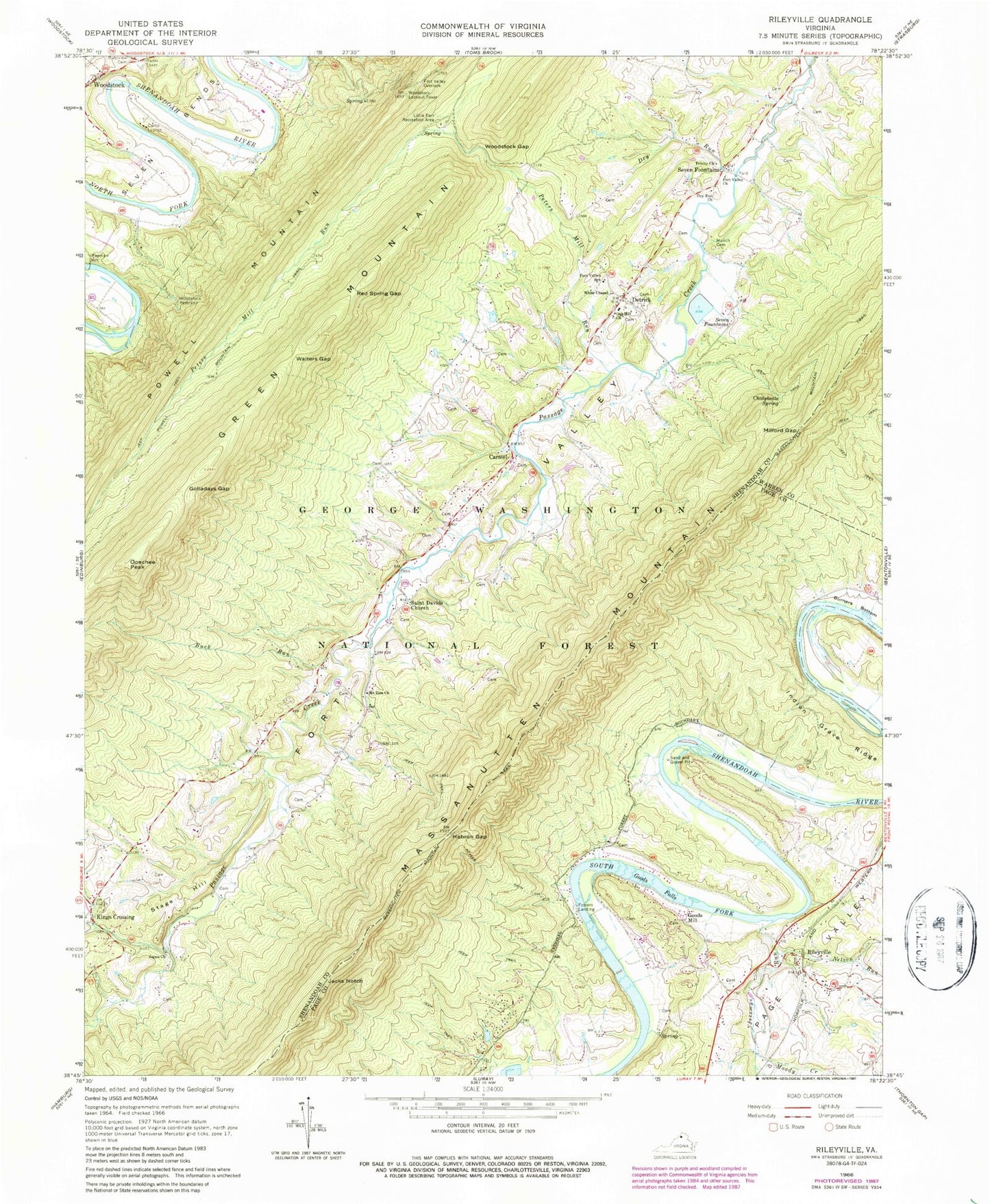
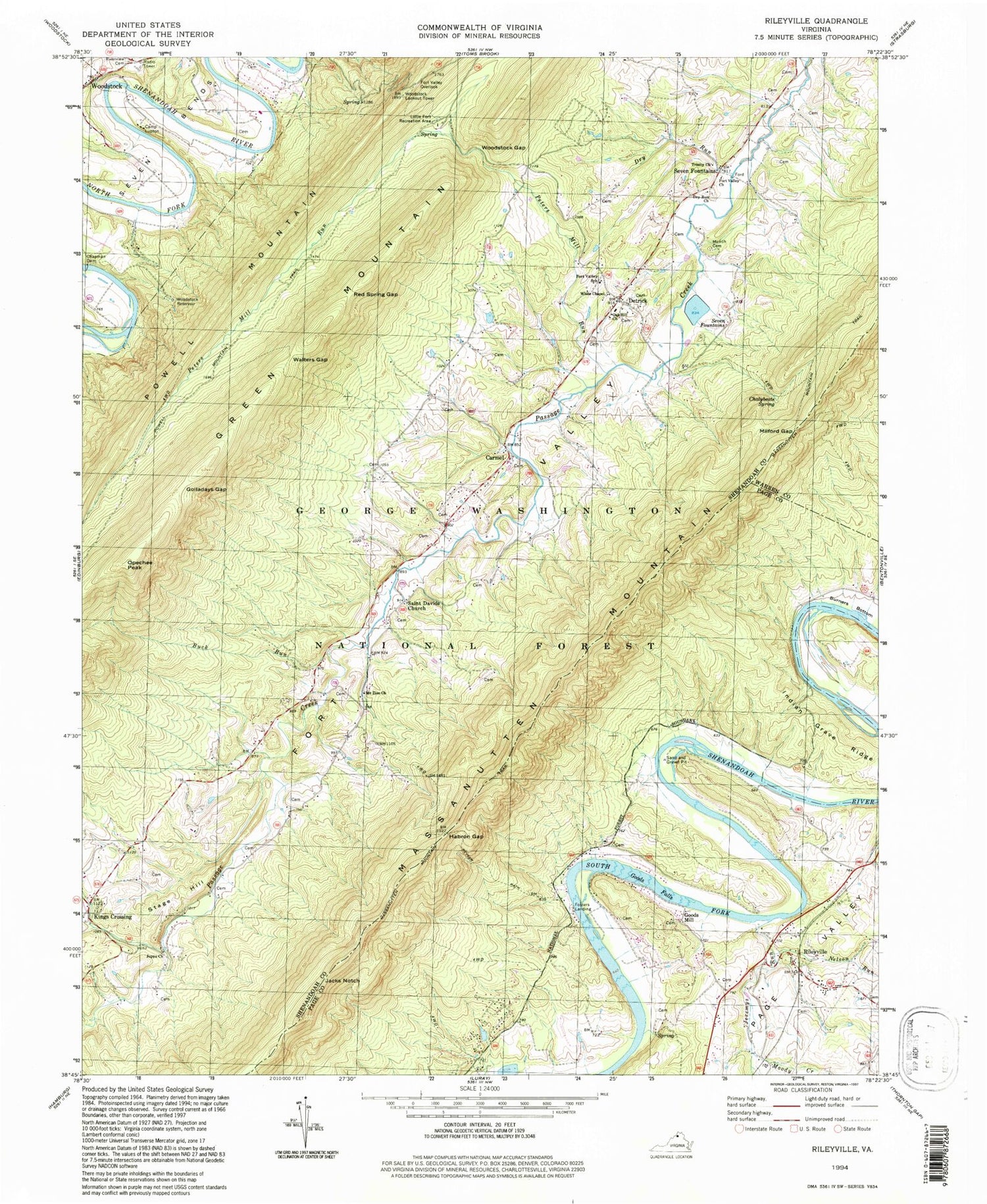
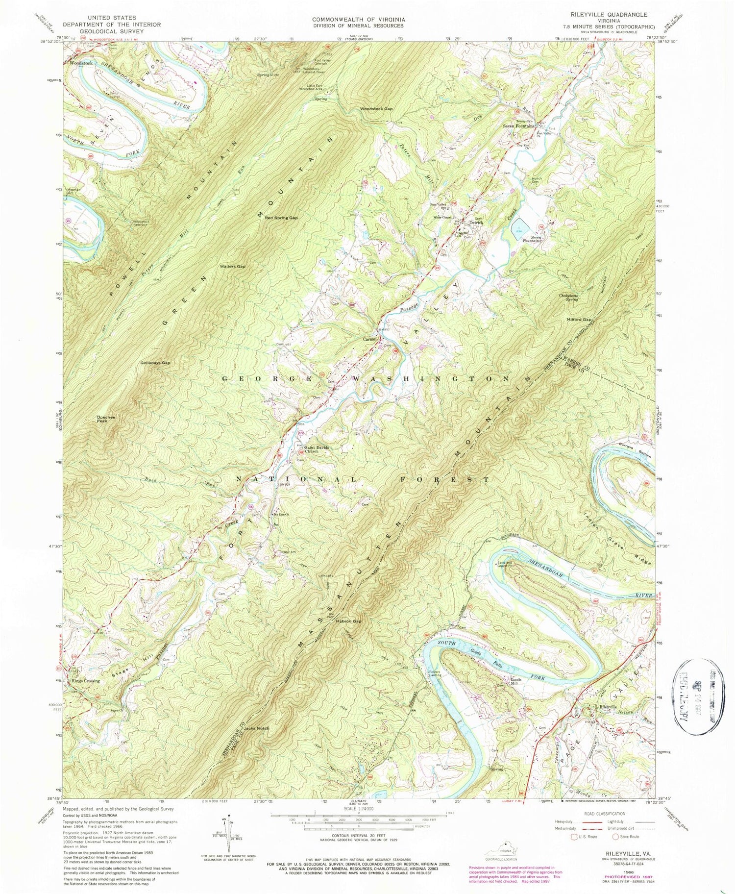
Classic USGS Rileyville Virginia 7.5'x7.5' Topo Map
Couldn't load pickup availability
Historical USGS topographic quad map of Rileyville in the state of Virginia. Typical map scale is 1:24,000, but may vary for certain years, if available. Print size: 24" x 27"
This quadrangle is in the following counties: Page, Shenandoah, Warren.
The map contains contour lines, roads, rivers, towns, and lakes. Printed on high-quality waterproof paper with UV fade-resistant inks, and shipped rolled.
Contains the following named places: Buck Run, Camp Lupton, Chalybeate Spring, Chapman Dam, Dry Run, Dry Run Church, Fort Valley Church, Fort Valley Overlook, Fort Valley Elementary School, Golladays Gap, Goods Falls, Habron Gap, Indian Grave Ridge, Jacks Notch, Jeremys Run, Joppa Church, Keyser Path, Little Fort Recreation Area, Massanutten Mountain Trail, Milford Gap, Moody Creek, Mount Zion Church, Munch Cemetery, Nelson Run, Oak Hill Church, Opechee Peak, Peters Mill Run, Powell Mountain Trail, Red Spring Gap, Riverview Cemetery, Saint Davids Church, Seven Bends, Trinity Church, Walters Gap, White Chapel, Woodstock Gap, Woodstock Reservoir, Seak Ford Landing, High Cliff Come Camp, Goods Landing, Seven Fountains Dam, Seven Fountains Lake, Chapman Dam, Chapman Reservoir, Woodstock Lookout Tower, Carmel, Detrick, Fosters Landing, Goods Mill, Green Mountain, Kings Crossing, Rileyville, Seven Fountains, Stage Hill, Saint David Church, Woodstock Recreational Area, Rileyville Cemetery, District 4, Shenandoah County Fire and Rescue Station 14 - Fort Valley Volunteer Fire Department, Rileyville Post Office, Fort Valley Post Office


