
MyTopo
Classic USGS Ringbolt Rapids Arizona 7.5'x7.5' Topo Map
Couldn't load pickup availability
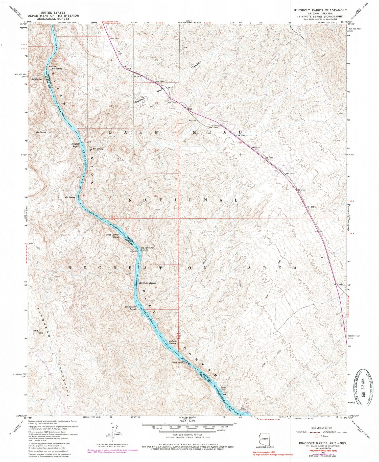
Historical USGS topographic quad map of Ringbolt Rapids in the states of Arizona, Nevada. Typical map scale is 1:24,000, but may vary for certain years, if available. Print size: 24" x 27"
This quadrangle is in the following counties: Clark, Mohave.
The map contains contour lines, roads, rivers, towns, and lakes. Printed on high-quality waterproof paper with UV fade-resistant inks, and shipped rolled.
Contains the following named places: Big Sand Bar Rapids, Cranes Nest Rapids, White Rock Canyon, Hot Spring, Rocky Rapids, Ringbolt Hot Spring, Lost Man Hot Spring, Cranes Nest Wash, Liberty Bell Arch, Horsethief Spring, Palm Tree Springs, Nebula Spring, Willow Beach National Fish Hatchery, Cross Current Rapids, Horseshoe Rapids, Indian Rapids, Ringbolt Rapids, The Chute, Big Sand Bar, Hot Spring, Hot Spring, Hot Springs, Two Mile Hot Spring, Boy Scout Canyon, Black Canyon Wilderness, Maidenhair Spring, Stomp Spring, Bighorn Sheep Spring, Narrows Spring


