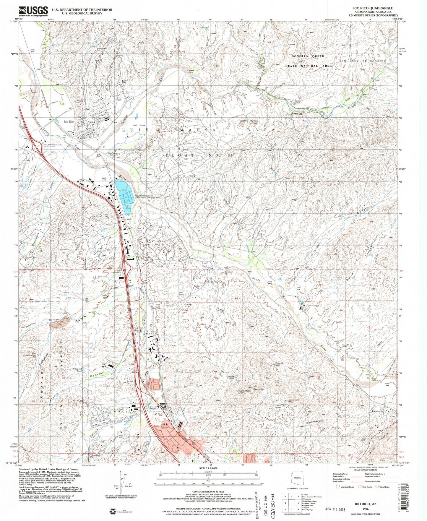
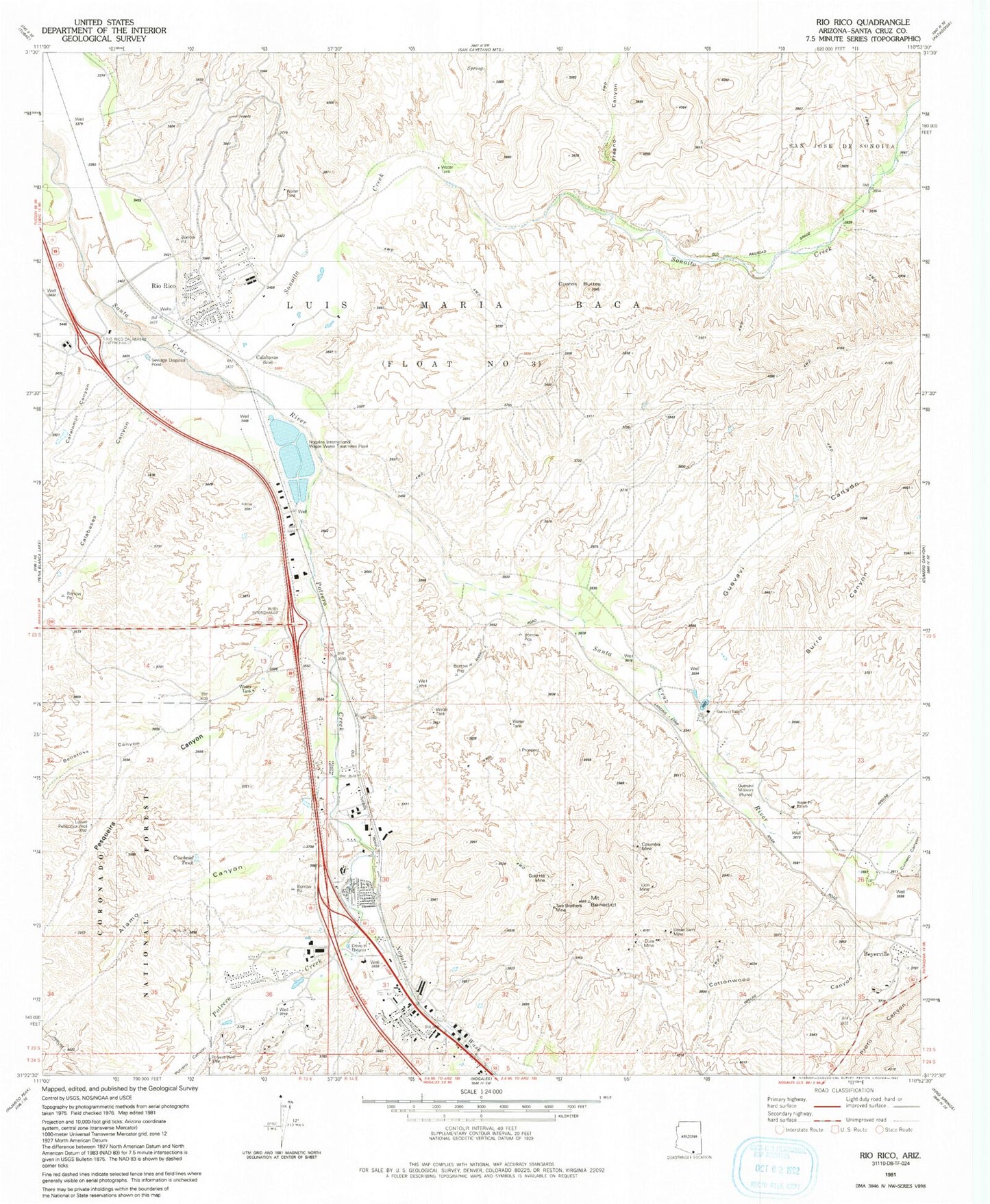
MyTopo
Classic USGS Rio Rico Arizona 7.5'x7.5' Topo Map
Couldn't load pickup availability
Historical USGS topographic quad map of Rio Rico in the state of Arizona. Map scale may vary for some years, but is generally around 1:24,000. Print size is approximately 24" x 27"
This quadrangle is in the following counties: Santa Cruz.
The map contains contour lines, roads, rivers, towns, and lakes. Printed on high-quality waterproof paper with UV fade-resistant inks, and shipped rolled.
Contains the following named places: Agua Frio, Alamo Canyon, Bellotosa Canyon, Benedict, Beyerville, Burro Canyon, Calabasas, Calabasas Canyon, Calabasas Hotel, Calabasas Private Land Grant, Calabasas School, Calabasas Store, Caralampi Canyon, Cottonwood Canyon, Cowhead Tank, Cuates Butte, Cumero Canyon, Desert Shadows Middle School, Dura Mine, Fort Mason, Fresno Canyon, Fullers Ranch, Giant Mine, Gold Hill Mine, Guevavi Canyon, Guevavi Mission, Guevavi Ranch, KAYN-FM (Nogales), Lion Mine, Lower Pesqueira Well, Lower Pesquira Well, Mi Casa Mobile Home Park, Most Holy Nativity Catholic Church, Mount Benedict, Nogales - Suburban Fire District Station Number 2, Nogales Fire Department Station 2, Nogales International Waste Water Treatment Plant, Nogales International Wastewater Treatment Plant, Nogales Suburban Fire District Station 1, Nogales Wash, Palo Duro Creek Golf Course, Pena Blanca Elementary School, Pesqueira Canyon, Pete Kitchens Museum, Pete Kitchens Ranch, Pimeria Alta Academy, Plomo, Potrero Canyon, Potrero Creek, Potrero Well, Rio Rico, Rio Rico Census Designated Place, Rio Rico Fire District Station 1, Rio Rico Fire District Station 2, Rio Rico Fire District Station 3, Rio Rico Post Office, Rio Rico Resort and Country Club, Rio Rico Southeast Census Designated Place, Robert Bracker Elementary School, Saint Andrew's Episcopal Church, San Cayetano Elementary School, San Jose de Sonoita, Santa Fe Ranch, Silva, Sonoita Creek, Sonoita Creek State Natural Area, Sovereign Grace Baptist Church, Two Brothers Mine, Uncle Sam Mine, ZIP Code: 85621