MyTopo
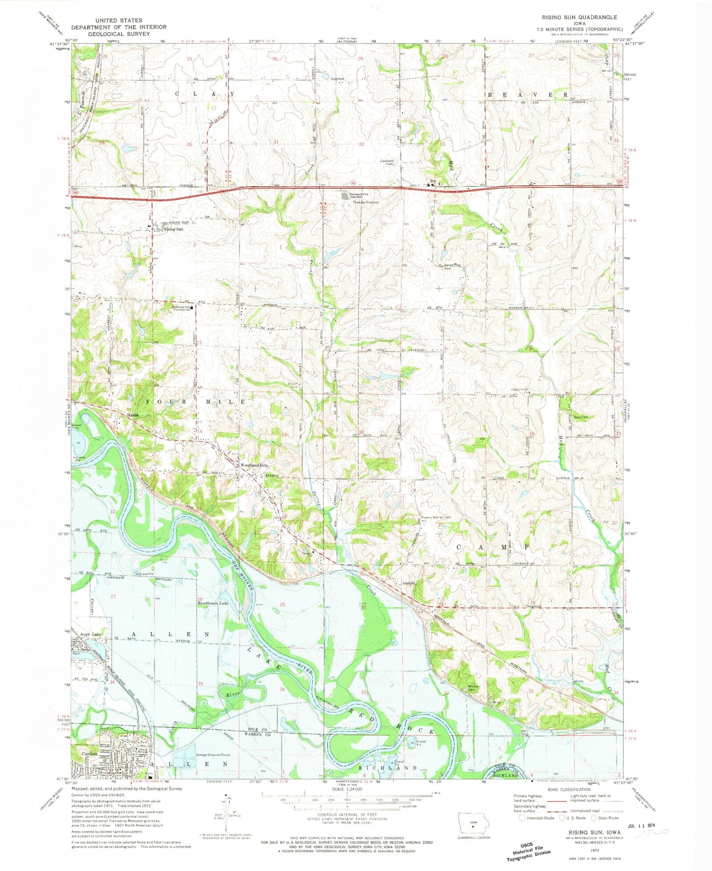
Classic USGS Rising Sun Iowa 7.5'x7.5' Topo Map
Couldn't load pickup availability
Historical USGS topographic quad map of Rising Sun in the state of Iowa. Map scale may vary for some years, but is generally around 1:24,000. Print size is approximately 24" x 27"
This quadrangle is in the following counties: Polk, Warren.
The map contains contour lines, roads, rivers, towns, and lakes. Printed on high-quality waterproof paper with UV fade-resistant inks, and shipped rolled.
Contains the following named places: Adelphi, Adelphi Post Office, Avon Lake, Calvary Church, Camp Center Church, Camp Post Office, Canfield Cemetery, Carleton, Carleton Post Office, Carlisle, Carlisle Christian Church, Carlisle City Hall, Carlisle City Park, Carlisle Community Church, Carlisle Water Treatment Plant, City of Carlisle, City of Pleasant Hill, Clarkson, Clarkson Post Office, Clay Elementary School, De Louis Field, Four Mile Elementary School, Grace Community Church, Hastie, Hastie Post Office, Ivy, Ivy Centennial United Methodist Church, Ivy Post Office, Midway Post Office, North River, Oakwood Station, Randleman Lake, Rising Sun, Rising Sun Cemetery, Rising Sun Church of Christ, Rising Sun Post Office, Southeast Polk High School, Southeast Polk Junior High School, Spring Creek, Spry Cemetery, Stuart Cemetery, Toad Valley Public Golf Course, Township of Camp, Township of Four Mile, Warren - Powers Cemetery, Wicker Cemetery, Woodland Hills, Woodland Hills Church of Christ, ZIP Code: 50327


