MyTopo
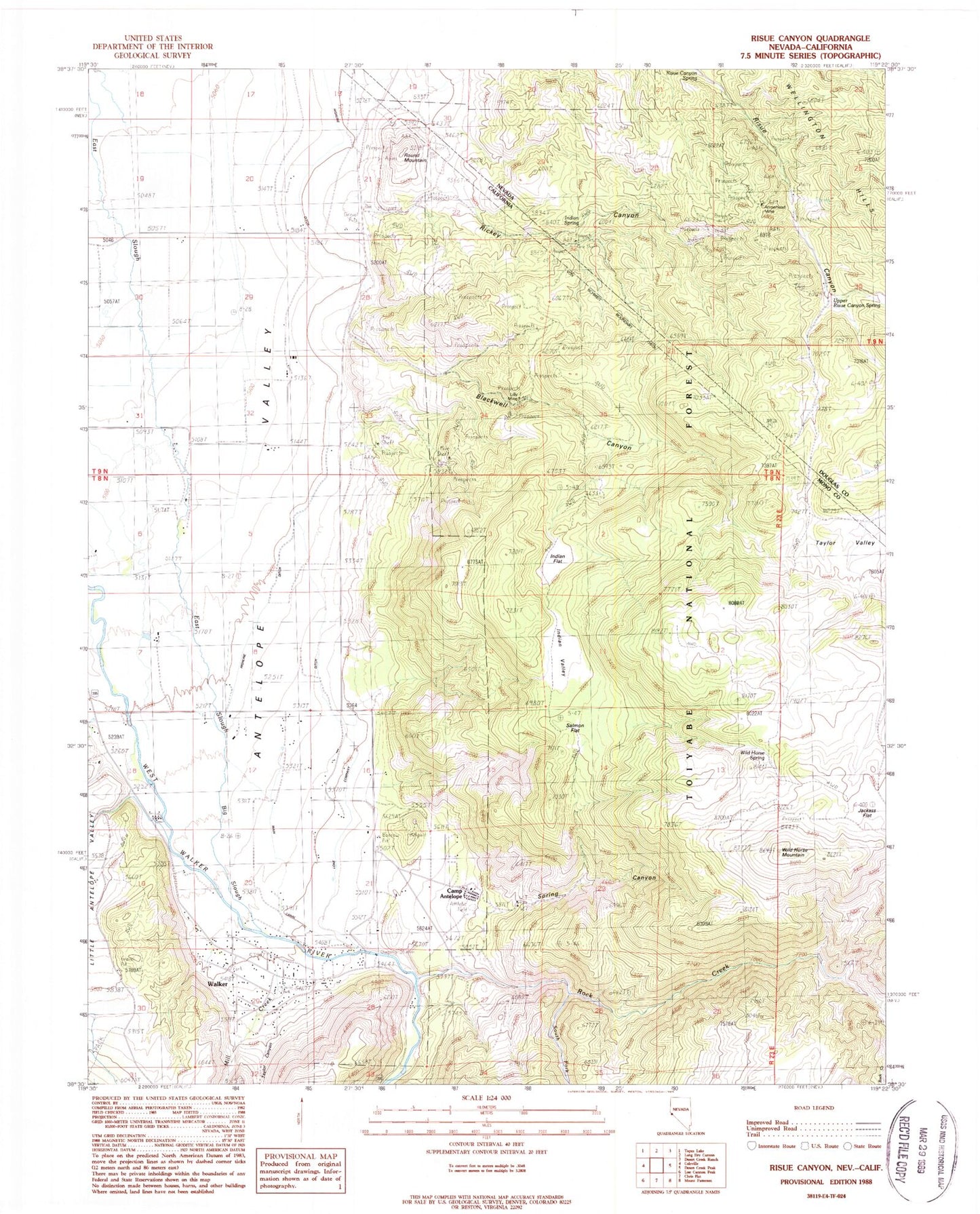
Classic USGS Risue Canyon Nevada 7.5'x7.5' Topo Map
Couldn't load pickup availability
Historical USGS topographic quad map of Risue Canyon in the states of Nevada, California. Map scale may vary for some years, but is generally around 1:24,000. Print size is approximately 24" x 27"
This quadrangle is in the following counties: Douglas, Mono.
The map contains contour lines, roads, rivers, towns, and lakes. Printed on high-quality waterproof paper with UV fade-resistant inks, and shipped rolled.
Contains the following named places: Antelope Valley Volunteer Fire Department, Arrowhead Mine, Big Slough, Blackwell Canyon, Camp Antelope, Highline Ditch, Indian Flat, Indian Spring, Indian Valley, Lilly Mine, Lone Company Ditch, Main Canal, Mill Canyon, Mill Creek, Mono County Paramedics Station 1, Rickey Canyon, Risue Canyon Spring, Risue Mining District, Rock Creek, Round Mountain, Salmon Flat, South Fork Rock Creek, Spring Canyon, Spring Creek, Taylor Canyon, Taylor Valley, Upper Risue Canyon Spring, Walker, Walker Census Designated Place, Wild Horse Mountain, Wild Horse Spring