MyTopo
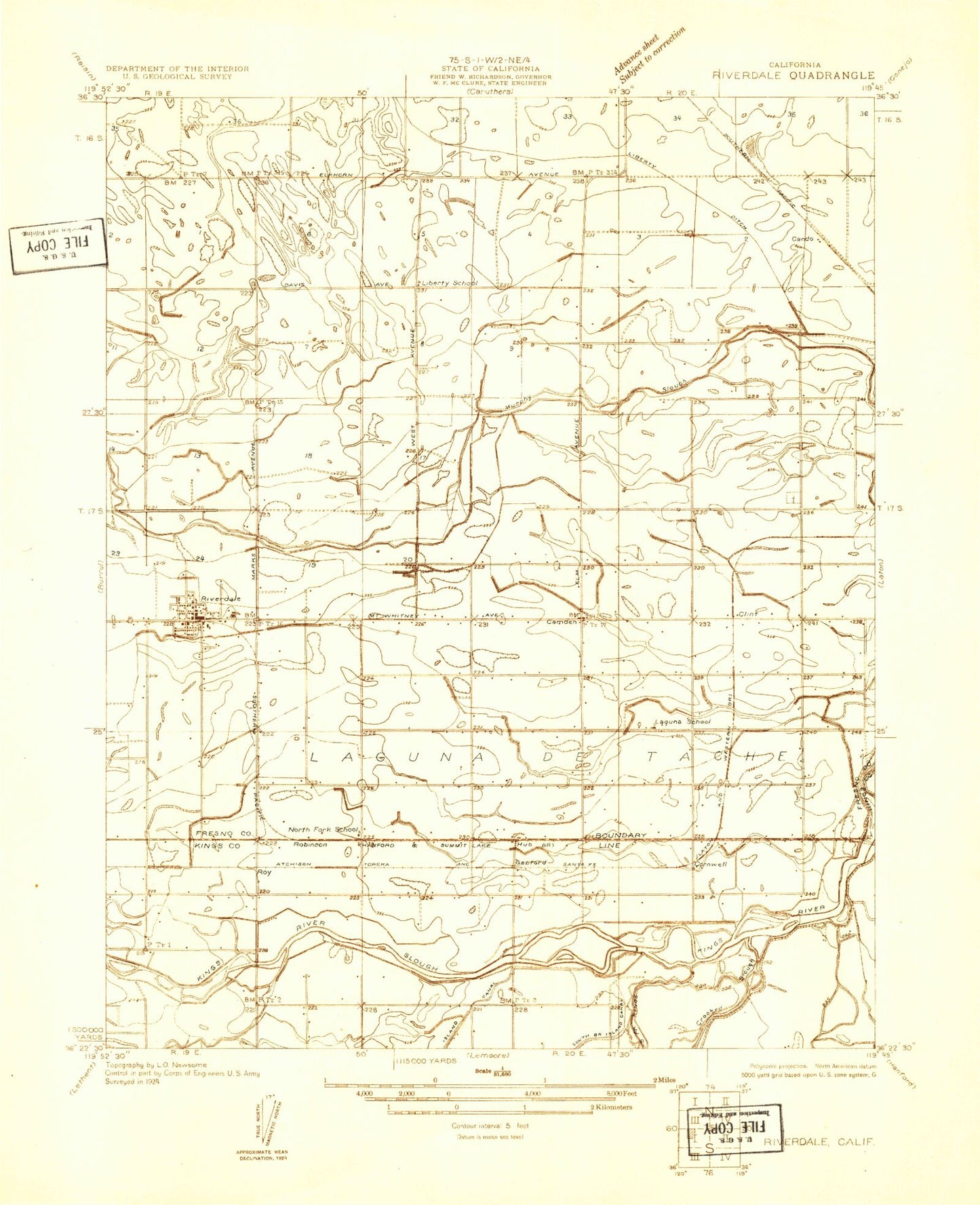
Classic USGS Riverdale California 7.5'x7.5' Topo Map
Couldn't load pickup availability
Historical USGS topographic quad map of Riverdale in the state of California. Map scale may vary for some years, but is generally around 1:24,000. Print size is approximately 24" x 27"
This quadrangle is in the following counties: Fresno, Kings.
The map contains contour lines, roads, rivers, towns, and lakes. Printed on high-quality waterproof paper with UV fade-resistant inks, and shipped rolled.
Contains the following named places: A J Dairy, Assembly of God School, Camden, Camden Oil Field, Clint, Cornwell, E Canal, Eden - Vale Dairy, G Canal, Gepford, Goulart Dairy, Grant Canal, Hub, Island Weir, Laguna de Tache, Laguna School, Liberty Ditch, Liberty School, Little Millrace, Maple Dairy, Medeiros Dairy, Mount Whitney Dairy, New Island Weir, North Fork School, Oak Grove Cemetery and Veterans Memorial, Riverdale, Riverdale Census Designated Place, Riverdale Ditch, Riverdale Elementary School, Riverdale High School, Riverdale Joint Union High Alternative Education School, Riverdale Post Office, Riverdale Volunteer Fire Department, Robinson, Sand Slough, Settlers Ditch, Veterans Memorial Auditorium, Whitney Oaks Dairy, Zonneveld Dairies Complex


