
MyTopo
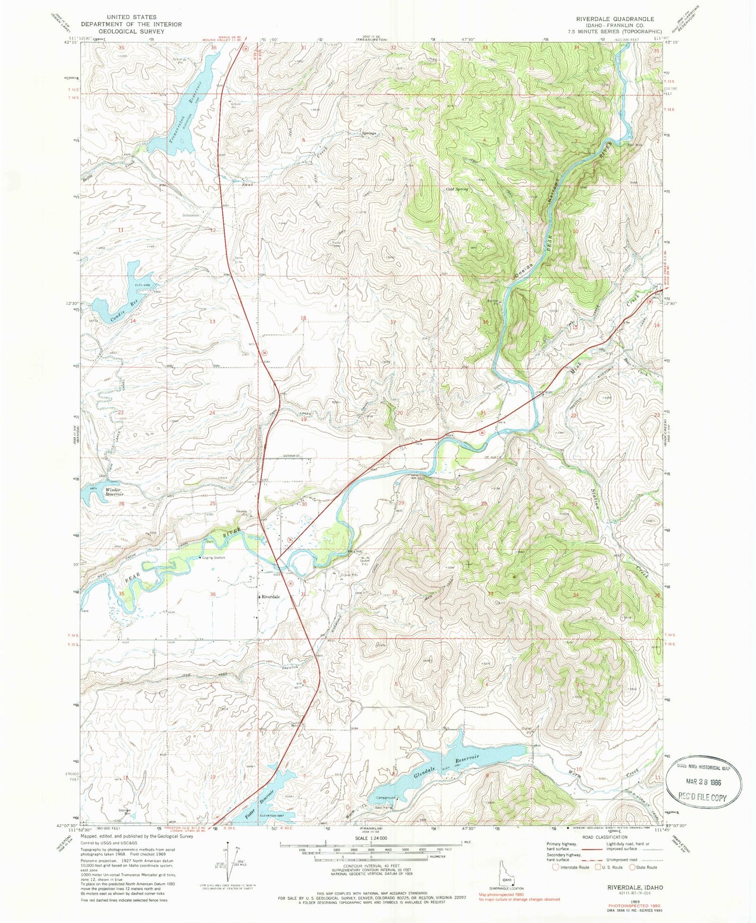
Classic USGS Riverdale Idaho 7.5'x7.5' Topo Map
Couldn't load pickup availability
Historical USGS topographic quad map of Riverdale in the state of Idaho. Map scale may vary for some years, but is generally around 1:24,000. Print size is approximately 24" x 27"
This quadrangle is in the following counties: Franklin.
The map contains contour lines, roads, rivers, towns, and lakes. Printed on high-quality waterproof paper with UV fade-resistant inks, and shipped rolled.
Contains the following named places: Bear Creek, Cold Spring, Condie Dam, Condie Reservoir, Falls, Foster Reservoir, Franklin County, Glendale Dam, Glendale Reservoir, Glendale Reservoir Access Area, KACH-AM (Preston), Mink Creek, Oneida Narrows, Preston Riverdale Canal, Riverdale, Sant Creek, Station Creek, Strongarm Reservoir Number One, Strongarm Reservoir Number One Dam, Treasureton Reservoir, Twin Lakes Canal, West Cache Canal, ZIP Code: 83263


