MyTopo
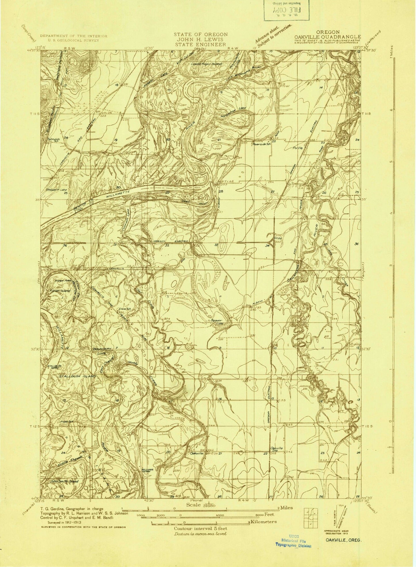
Classic USGS Riverside Oregon 7.5'x7.5' Topo Map
Couldn't load pickup availability
Historical USGS topographic quad map of Riverside in the state of Oregon. Map scale may vary for some years, but is generally around 1:24,000. Print size is approximately 24" x 27"
This quadrangle is in the following counties: Benton, Linn.
The map contains contour lines, roads, rivers, towns, and lakes. Printed on high-quality waterproof paper with UV fade-resistant inks, and shipped rolled.
Contains the following named places: Asbahr, Asbahr Lake, Beaver Lake, Bowers Rocks State Park, Cheldelin Middle School, Childrens Farm Home, Colorado Lake, Corvallis Waldorf School, Dead River, Dixie School, Dunlap, Dunning Vineyards Airport, East Channel Willamette River, Ehlen-Van Waters and Rogers, Fischer Island, Fisher Island Pond, Frazier Creek, Frazier Creek Ditch, Granger, Granger Post Office, Gray, Half Moon Bend, Halsey - Shedd Rural Fire Protection District Station 54, Holiday Airport, Horseshoe Lake, Hulburt School, Jackson Creek, Jackson Frazier Wetland, John Smith Island, KEJO-FM, KFLY-AM, Kiger Island, Knoll Terrace Mobile Home Community Wastewater Treatment Facility, Lake Creek, Lower Kiger Island, Middle Channel Willamette River, Muddy Creek, Oak Creek, Oakville, Oakville Cemetery, Oakville Post Office, Oakville School, Oregon State University Experimental Farm, Orleans, Orleans Cemetery, Owl Creek, Pirtle Station, Riverside, Riverside Hall, Riverside School, Stahlbusch Island, Stahlbush Island Farms, Stewart Lake, Stewart Slough, Tangent Sewage Treatment Facility, Truax Island, Twin Oaks Memorial Gardens, Verdure, Village Green City Park, Winn Airport, Woodland Meadows City Park


