MyTopo
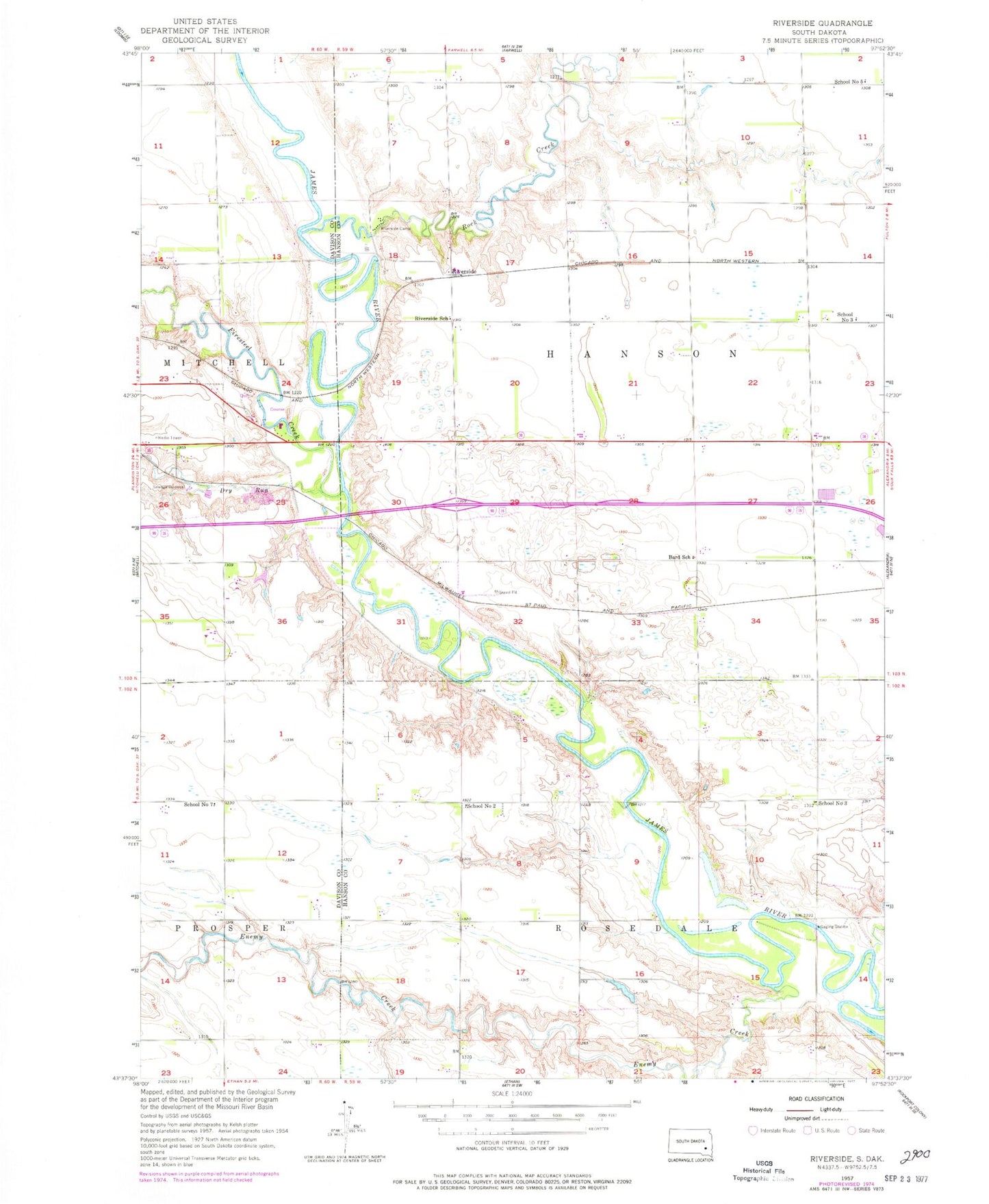
Classic USGS Riverside South Dakota 7.5'x7.5' Topo Map
Couldn't load pickup availability
Historical USGS topographic quad map of Riverside in the state of South Dakota. Map scale may vary for some years, but is generally around 1:24,000. Print size is approximately 24" x 27"
This quadrangle is in the following counties: Davison, Hanson.
The map contains contour lines, roads, rivers, towns, and lakes. Printed on high-quality waterproof paper with UV fade-resistant inks, and shipped rolled.
Contains the following named places: Bard, Bard School, Dry Run, Enemy Creek, Firesteel Creek, Holiness Cemetery, Johnson Creek, KORN-AM (Mitchell), KQRN-FM (Mitchell), Medicine Butte, Riverside, Riverside Camp, Riverside School, Rock Creek, Rosedale Cemetery, Rosedale Colony Census Designated Place, Rosedale Colony Elementary School, School Number 2, School Number 3, School Number 5, School Number 7, Township of Hanson, Township of Rosedale, Wild Oak Golf Club