
MyTopo
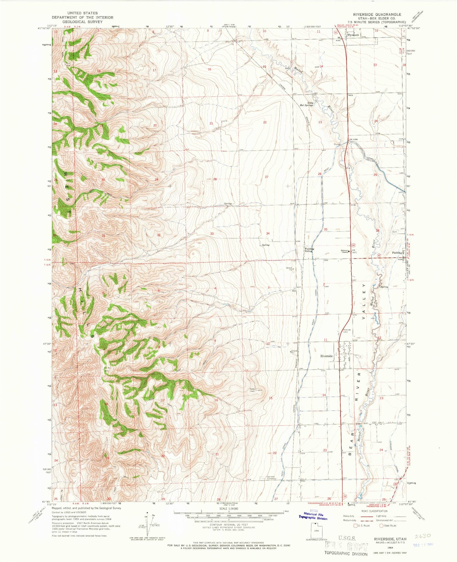
Classic USGS Riverside Utah 7.5'x7.5' Topo Map
Couldn't load pickup availability
Historical USGS topographic quad map of Riverside in the state of Utah. Map scale may vary for some years, but is generally around 1:24,000. Print size is approximately 24" x 27"
This quadrangle is in the following counties: Box Elder.
The map contains contour lines, roads, rivers, towns, and lakes. Printed on high-quality waterproof paper with UV fade-resistant inks, and shipped rolled.
Contains the following named places: Belmont Church, Butler Canyon, Fielding Cemetery, Fielding Siding, Garland Cemetery, KMXL-FM (Logan), Landmark Letters Branch, Magpie Canyon, Marlow Canyon, Plymouth Fire Department, Riverside, Riverside Cemetery, Riverside Census Designated Place, Riverside Post Office, Toponce Canyon, Town of Plymouth, Uddy Hot Springs, West Canal, ZIP Codes: 84312, 84334


