MyTopo
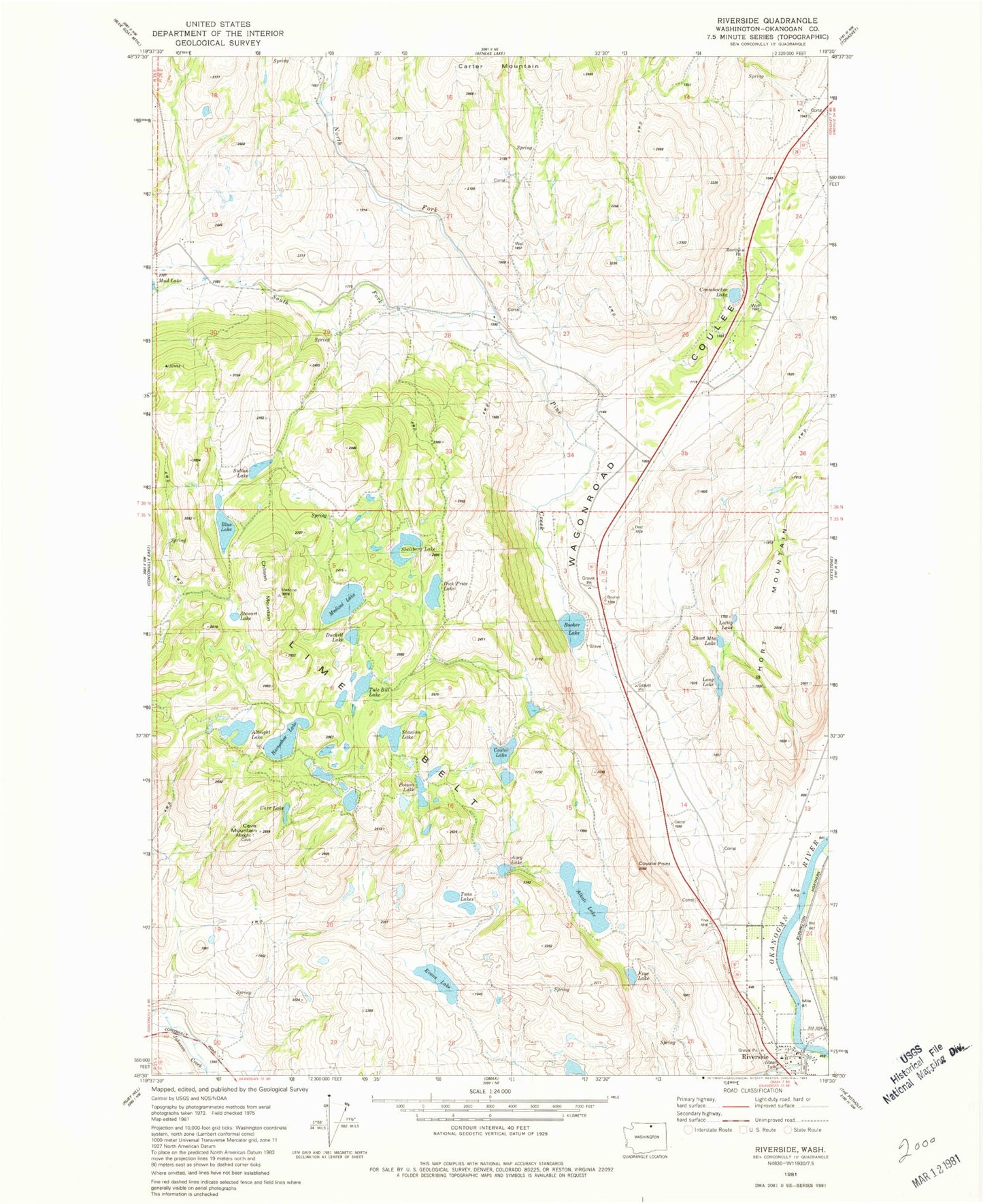
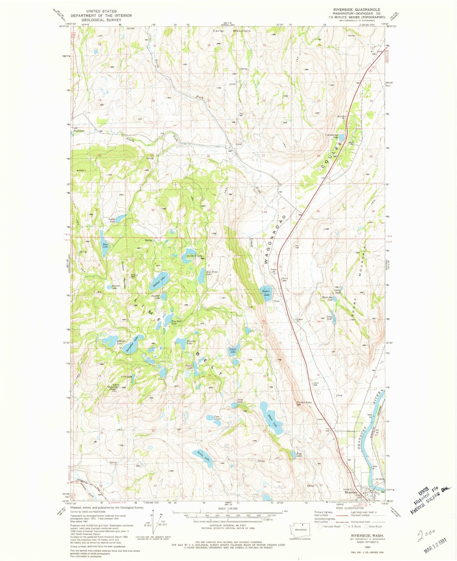
Classic USGS Riverside Washington 7.5'x7.5' Topo Map
Couldn't load pickup availability
Historical USGS topographic quad map of Riverside in the state of Washington. Map scale may vary for some years, but is generally around 1:24,000. Print size is approximately 24" x 27"
This quadrangle is in the following counties: Okanogan.
The map contains contour lines, roads, rivers, towns, and lakes. Printed on high-quality waterproof paper with UV fade-resistant inks, and shipped rolled.
Contains the following named places: Albright Lake, Alkali Lake, Amy Lake, Blue Lake, Booher Lake, Burden Draw, Castor Lake, Cave Lake, Cave Mountain, Chilson Mountain, Crumbacker Lake, Dick Price Lake, Duckett Lake, Evans Lake, Frye Lake, Horseshoe Lake, Johnson Creek, Lattig Lake, Lighthouse Chapel Assembly God Church, Lime Belt, Long Lake, Margie's Recreational Vehicle Park, Medicine Lake, North Fork Pine Creek, Okanogan County Fire District 7, Pine Creek, Poison Lake, Riverside, Scanlon Lake, Shellberg Lake, Short Mountain, Short Mountain Lake, South Fork Pine Creek, Stewart Lake, Sutton Lake, Town of Riverside, Tule Bill Lake, Twin Lakes, Wagonroad Coulee