MyTopo
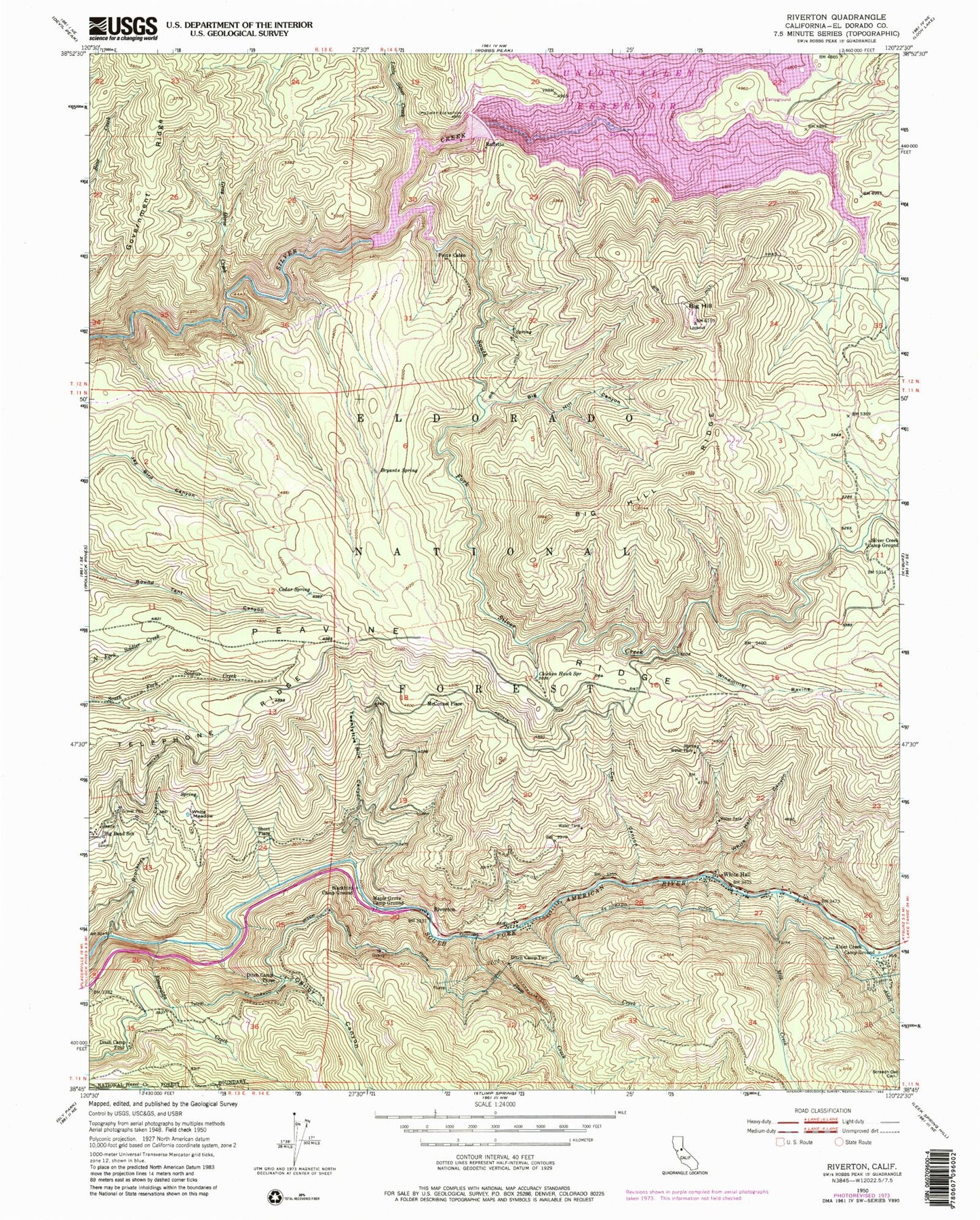
Classic USGS Riverton California 7.5'x7.5' Topo Map
Couldn't load pickup availability
Historical USGS topographic quad map of Riverton in the state of California. Typical map scale is 1:24,000, but may vary for certain years, if available. Print size: 24" x 27"
This quadrangle is in the following counties: El Dorado.
The map contains contour lines, roads, rivers, towns, and lakes. Printed on high-quality waterproof paper with UV fade-resistant inks, and shipped rolled.
Contains the following named places: Alder Creek, Alder Creek Camp Ground, Big Hill, Big Hill Canyon, Big Hill Ridge, Big Hill Trail, Big Silver Creek, Blackbird Camp Ground, Brockliss Canyon, Bryants Spring, Bull Creek, Cedar Spring, Chicken Hawk Spring, Cox Canyon, Ditch Camp Four, Ditch Camp Three, Ditch Camp Two, El Dorado Ditch, Esmeralda Creek, Government Ridge, Gray Horse Creek, Jones Fork Silver Creek, Little Silver Creek, Maple Grove Camp Ground, Mill Creek, Ogilby Canyon, Plum Creek, Potts Cabin, Silver Creek Camp Ground, South Fork Silver Creek, Telephone Ridge, Twentyfive Mile Canyon, Union Valley Reservoir, White Hall Canyon, White Meadow, Windmiller Ravine, Sunset Campground, Blair Mill, Cleveland Corral Information Center, Big Hill Lookout Tower, Peninsula Campground, Fashoda Picnic Area, Junction Reservoir, Union Valley Powerhouse, Bridal Veil Campground, McConnel Place, Raffetto, Riverton, Short Place, White Hall, Junction 1009-002 Dam, Union Valley 1009-003 Dam, Big Hill Camp


