MyTopo
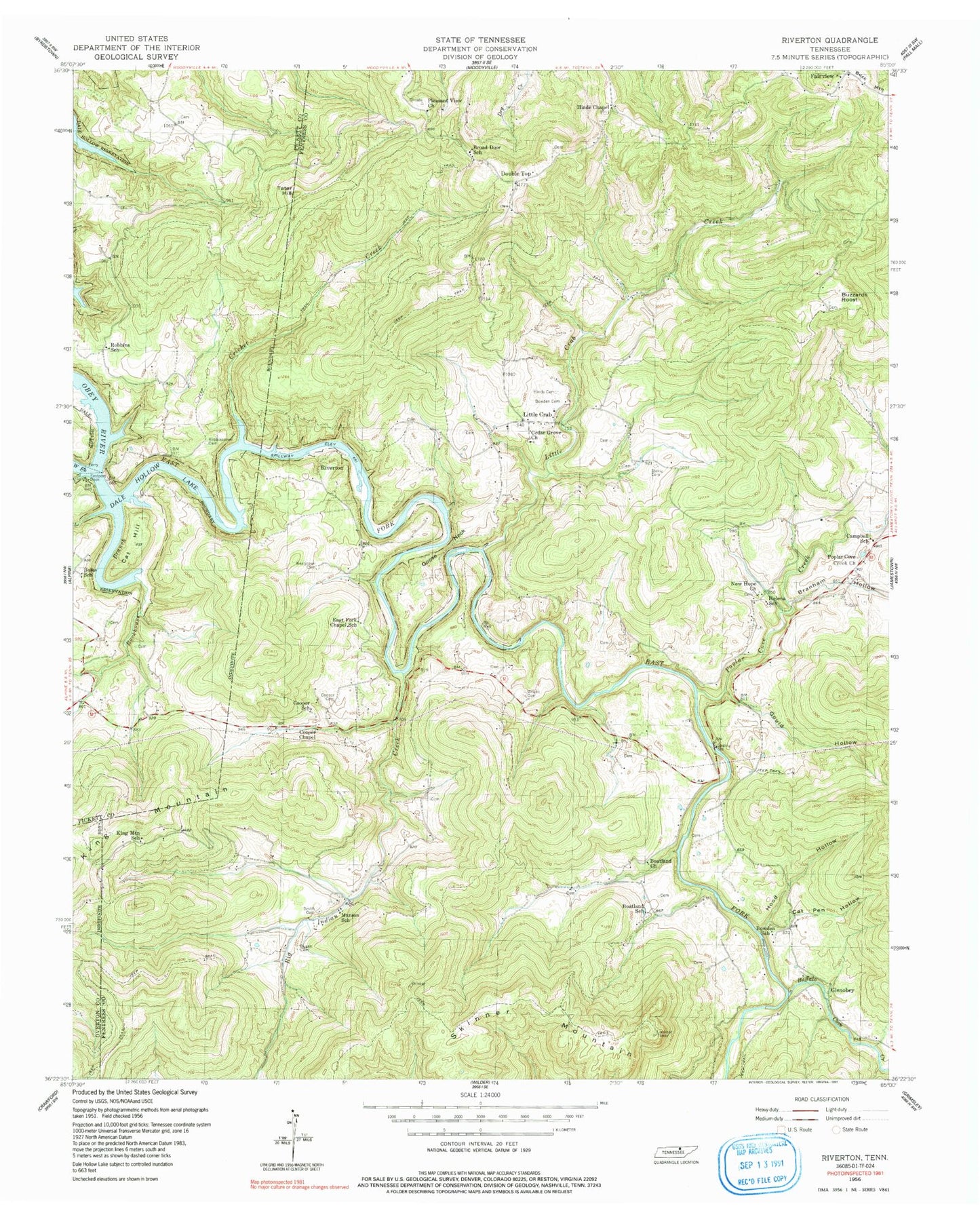
Classic USGS Riverton Tennessee 7.5'x7.5' Topo Map
Couldn't load pickup availability
Historical USGS topographic quad map of Riverton in the state of Tennessee. Typical map scale is 1:24,000, but may vary for certain years, if available. Print size: 24" x 27"
This quadrangle is in the following counties: Fentress, Overton, Pickett.
The map contains contour lines, roads, rivers, towns, and lakes. Printed on high-quality waterproof paper with UV fade-resistant inks, and shipped rolled.
Contains the following named places: Buffalo Cove Creek, Fairview, Skinner Mountain, Smith Cemetery, Storie Cemetery, Tater Hill, Wright Cemetery, Big Indian Creek, Boatland Church, Boatland School, Boles School, Bowden Cemetery, Bowden School, Branham Hollow, Broad Door School, Buzzards Roost, Campbell School, Cat Hill, Cat Pen Hollow, Cooper Cemetery, Cooper Chapel, Cooper School, Cricket Creek, Double Top, Dungan Cemetery, East Fork Chapel School, Eastport Dock, Goose Neck, Gould Hollow, Helena School, Hinds Cemetery, Hinds Chapel, Hood Hollow, King Mountain, King Mountain School, Little Crab, Little Crab Creek, Manson School, New Hope United Baptist Church, Pleasant View Church, Poplar Cove Creek, Poplar Cove Creek Church, Robbins School, Robbinstown Cemetery, Rockhouse Branch, East Fork Obey River, West Fork Obey River, Beatytown Cemetery, Cedar Grove Church, Eastport, Reynolds Mountain, Taylor Hollow, Dark Hollow, Poplar Cove, Boatland, Glenobey, Riverton, Fairview School (historical), Hinds Chapel School (historical), Little Crab School (historical), New Hope Cemetery, Eastport Ferry (historical), Helena, Manson, Cooper, Fentress County Volunteer Fire Department Station 10 Double Top, Fentress County Volunteer Fire Department Station 9


