MyTopo
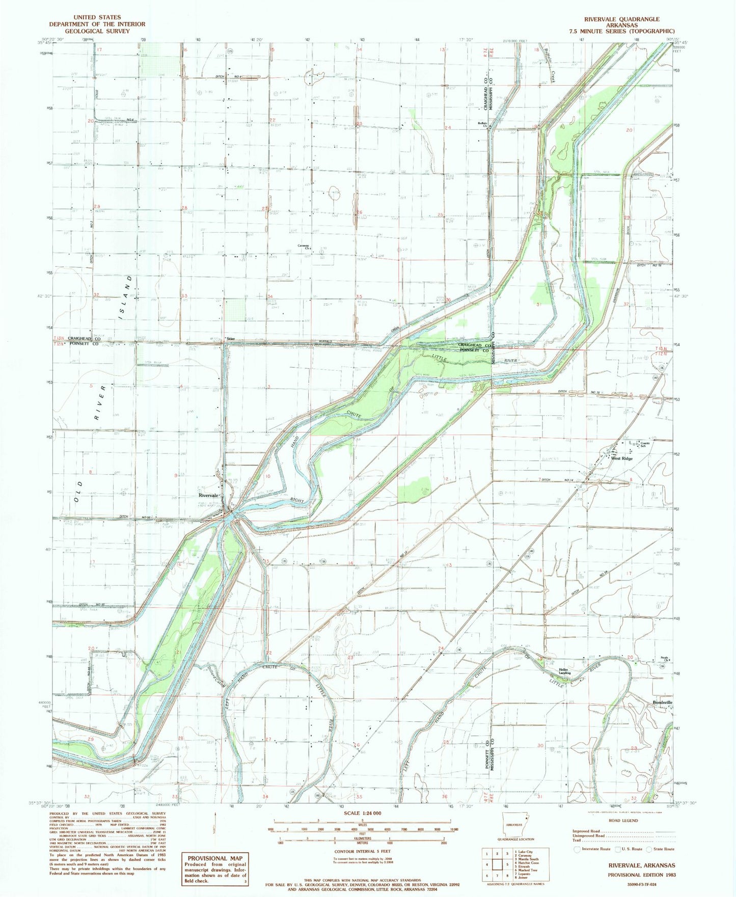
Classic USGS Rivervale Arkansas 7.5'x7.5' Topo Map
Couldn't load pickup availability
Historical USGS topographic quad map of Rivervale in the state of Arkansas. Map scale may vary for some years, but is generally around 1:24,000. Print size is approximately 24" x 27"
This quadrangle is in the following counties: Craighead, Mississippi, Poinsett.
The map contains contour lines, roads, rivers, towns, and lakes. Printed on high-quality waterproof paper with UV fade-resistant inks, and shipped rolled.
Contains the following named places: Bonds School, Buffalo Church, Buffalo Creek, Caraway Church, Degelow, Dillard Cut off, Dismal Lake, Ditch Number 1, Ditch Number 12, Ditch Number 13, Ditch Number 14, Ditch Number 15, Ditch Number 16, Ditch Number 17, Ditch Number 2, Ditch Number 3, Ditch Number 4, Ditch Number 5, Ditch Number 51a, Ditch Number 52, Ditch Number 53, Ditch Number 54, Ditch Number 56, Ditch Number 57, Ditch Number 63, Ditch Number 65, Ditch Number 7, Hackaberry School, Hawkins Cemetery, Helfer Landing, Jernigan School, Lepanto Junction, Missco School, Neals Church, Old River Island, Rivervale, Rivervale Baptist Church, Rivervale Census Designated Place, Shaw, Stier, Studhorse Cutoff, Township of Greenwood, Waco, West Ridge, West Ridge Baptist Church, West Ridge Elementary School, West Ridge Post Office, ZIP Codes: 72377, 72419


