MyTopo
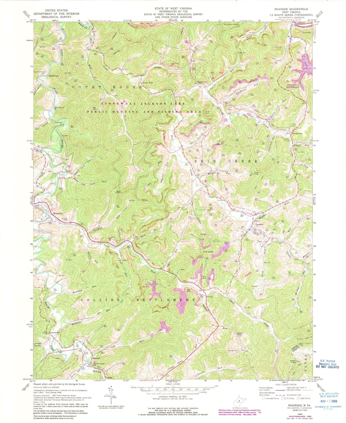
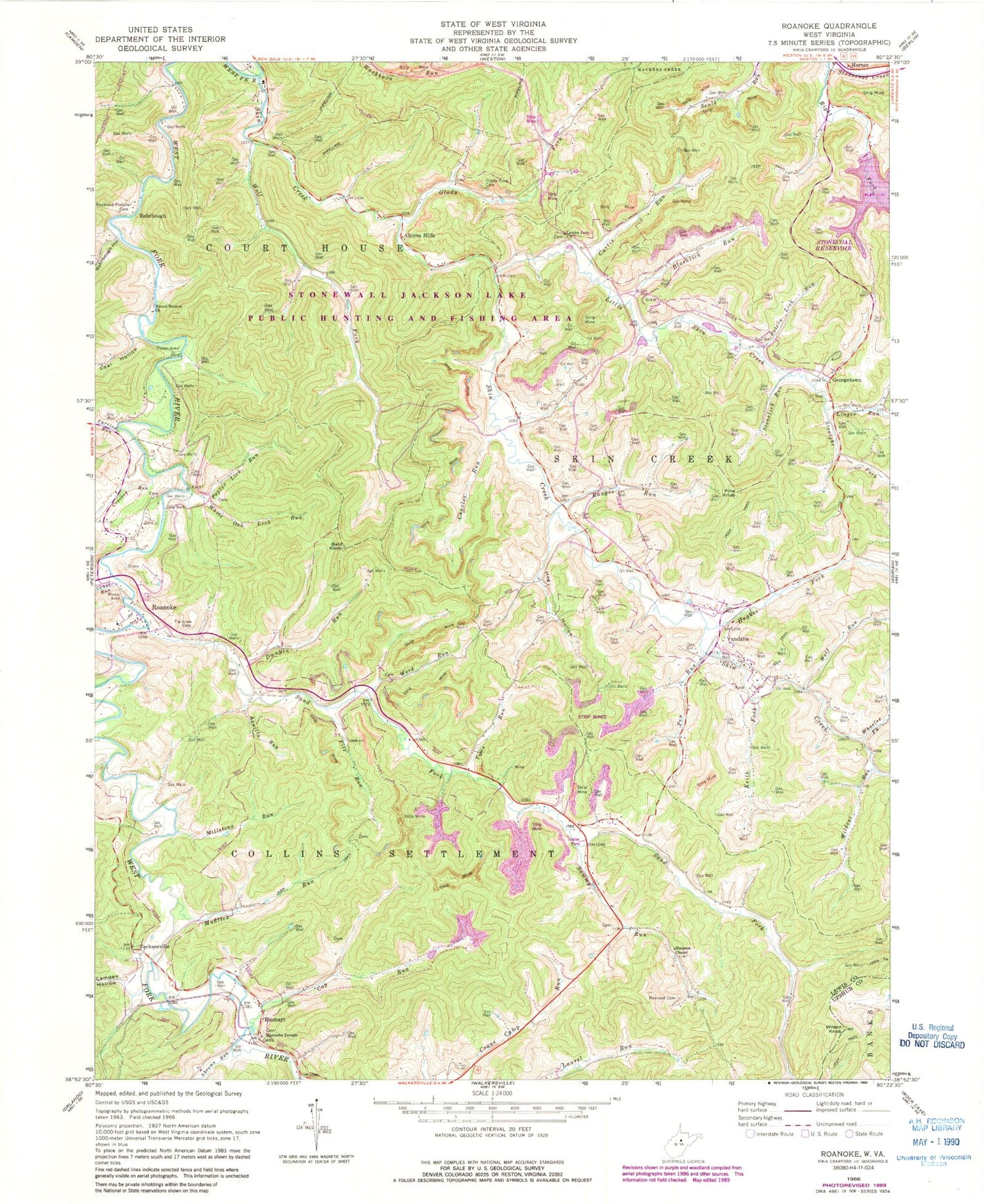
Classic USGS Roanoke West Virginia 7.5'x7.5' Topo Map
Couldn't load pickup availability
Historical USGS topographic quad map of Roanoke in the state of West Virginia. Typical map scale is 1:24,000, but may vary for certain years, if available. Print size: 24" x 27"
This quadrangle is in the following counties: Lewis, Upshur.
The map contains contour lines, roads, rivers, towns, and lakes. Printed on high-quality waterproof paper with UV fade-resistant inks, and shipped rolled.
Contains the following named places: Abrams Run, Aquilla Run, Bald Knob, Blacklick Run, Camden Hollow, Canoe Run, Cap Run, Carrion Run, Charles Run, Coal Hollow, Crooked Run, Curtis Run, Dunkin Run, Fairview Cemetery, Fitz Run, Glady Fork, Glady Fork Cemetery, Hannahs Temple, Hershman Run, Hog Hollow, Stonewall Jackson Lake Wildlife Management Area, Hughes Fork, Keith Fork, Linger Run, Little Skin Creek, Louisa Jane Church, Millstone Run, Mudlick Run, Pen Run, Peters Lick Run, Pine Knob, Poplar Lick Run, Ranges Run, Rexroad Cemetery, Right Fork Stonecoal Creek, Rockford-Pletcher Cemetery, Rohrbough Hollow, Round Bottom Church, Sammy Run, Sand Fork, Simpson Chapel, Skin Creek, Stonelick Run, Straight Fork, Toms Run, Vandalia, Ward Run, Wheeler Fork, White Oak Lick Run, Wildcat Run, Wolf Fork, Wolf Run, Georgetown, Alkires Mills, Emmart, Jacksonville, Roanoke, Rohrbough, Wilson Knob, Stonecoal Creek Dam, Bennett School (historical), Clark School (historical), Horner Post Office, Jewell School (historical), Laurel Run School (historical), Lower Glady School (historical), Marsh School (historical), Morrison School (historical), Radabaugh School (historical), Reger School (historical), Upper Glady School (historical), Watson School (historical), Wolf Fork Mountain, Stonewall Jackson Lake State Park, Walkersville Census Designated Place, The Arnold Palmer Signature Golf Course at Stonewall Resort, Roanoke Bridge, Stonewall Jackson Lake


