MyTopo
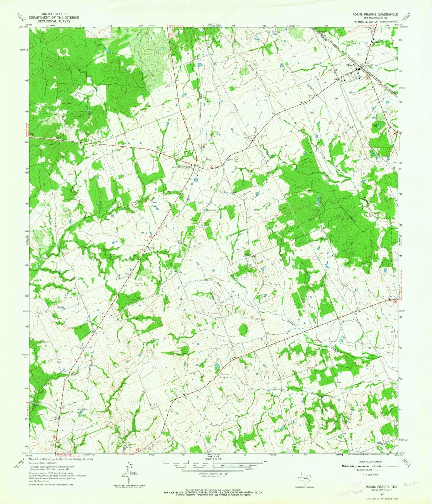
Classic USGS Roans Prairie Texas 7.5'x7.5' Topo Map
Couldn't load pickup availability
Historical USGS topographic quad map of Roans Prairie in the state of Texas. Map scale may vary for some years, but is generally around 1:24,000. Print size is approximately 24" x 27"
This quadrangle is in the following counties: Grimes.
The map contains contour lines, roads, rivers, towns, and lakes. Printed on high-quality waterproof paper with UV fade-resistant inks, and shipped rolled.
Contains the following named places: Arbor Chapel, Bethlehem Church, Gibbons Spring, Grimes County, Hideaway Hills Lake Dam, Hideaway Lake, KYLE-TV (Bryan), Oakland Cemetery, Roans Prairie, Roans Prairie Cemetery, Saint Marks Church, Shiro, Shiro Cemetery, Shiro Census Designated Place, Shiro Post Office, Shiro Volunteer Fire Department, ZIP Code: 77876