MyTopo
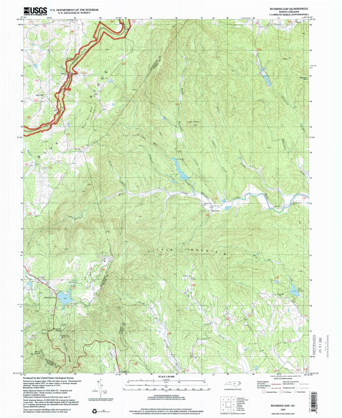
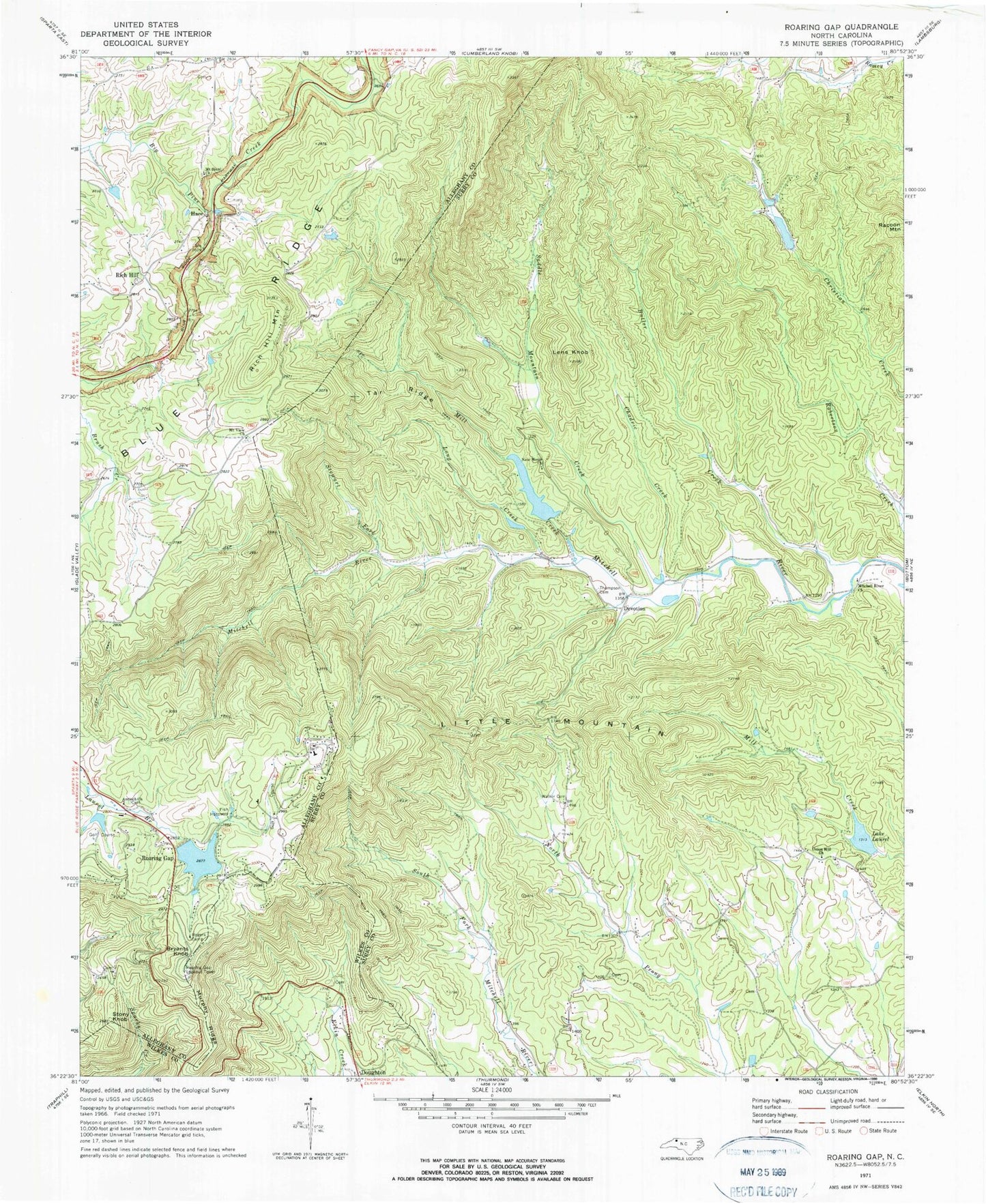
Classic USGS Roaring Gap North Carolina 7.5'x7.5' Topo Map
Couldn't load pickup availability
Historical USGS topographic quad map of Roaring Gap in the state of North Carolina. Map scale may vary for some years, but is generally around 1:24,000. Print size is approximately 24" x 27"
This quadrangle is in the following counties: Alleghany, Surry, Wilkes.
The map contains contour lines, roads, rivers, towns, and lakes. Printed on high-quality waterproof paper with UV fade-resistant inks, and shipped rolled.
Contains the following named places: Antioch Methodist Church, Beech Mountain, Blue Ridge Church, Bryants Knob, Butler Creek, Chadric Creek, D R Stone Dam, Devotion, Glade Creek Volunteer Fire Department, Hare, Hares Mill, High Meadows Dam, High Meadows Estates, High Meadows Golf and Country Club, High Meadows Lake, Lake Laurel, Lake Laurel Dam, Lake Louise, Lens Knob, Little Mountain, Long Creek, Low Gap Wildlife Club Dam, Low Gap Wildlife Pond, Mill Creek, Mitchells River Primitive Baptist Church, Mount Sainai Church, Mountain View Baptist Church, Mountain View Cemetery, Murphy Ridge, New Home, New Home Church, New Home School, Noname, Racoon Mountain, Reynolds Lake, Reynolds Lake Dam, Rich Hill, Rich Hill Mountain, Roaring Gap, Roaring Gap Lake Dam, Roaring Gap Lookout Tower, Roaring Gap Post Office, Robertson Creek, Rogers Camp, Royall Lake, Royall Lake Dam, Saddle Mountain Creek, Stewart Fork, Stony Knob, Tar Ridge, Thompson Cemetery, Thompsons Branch, Township of Bryan, Union Hill, Union Hill Baptist Church, Union Hill Cemetery, Union Hill Methodist Church, Walker Cemetery, White Rock Church, Williams Creek, ZIP Codes: 28668, 28683


