MyTopo
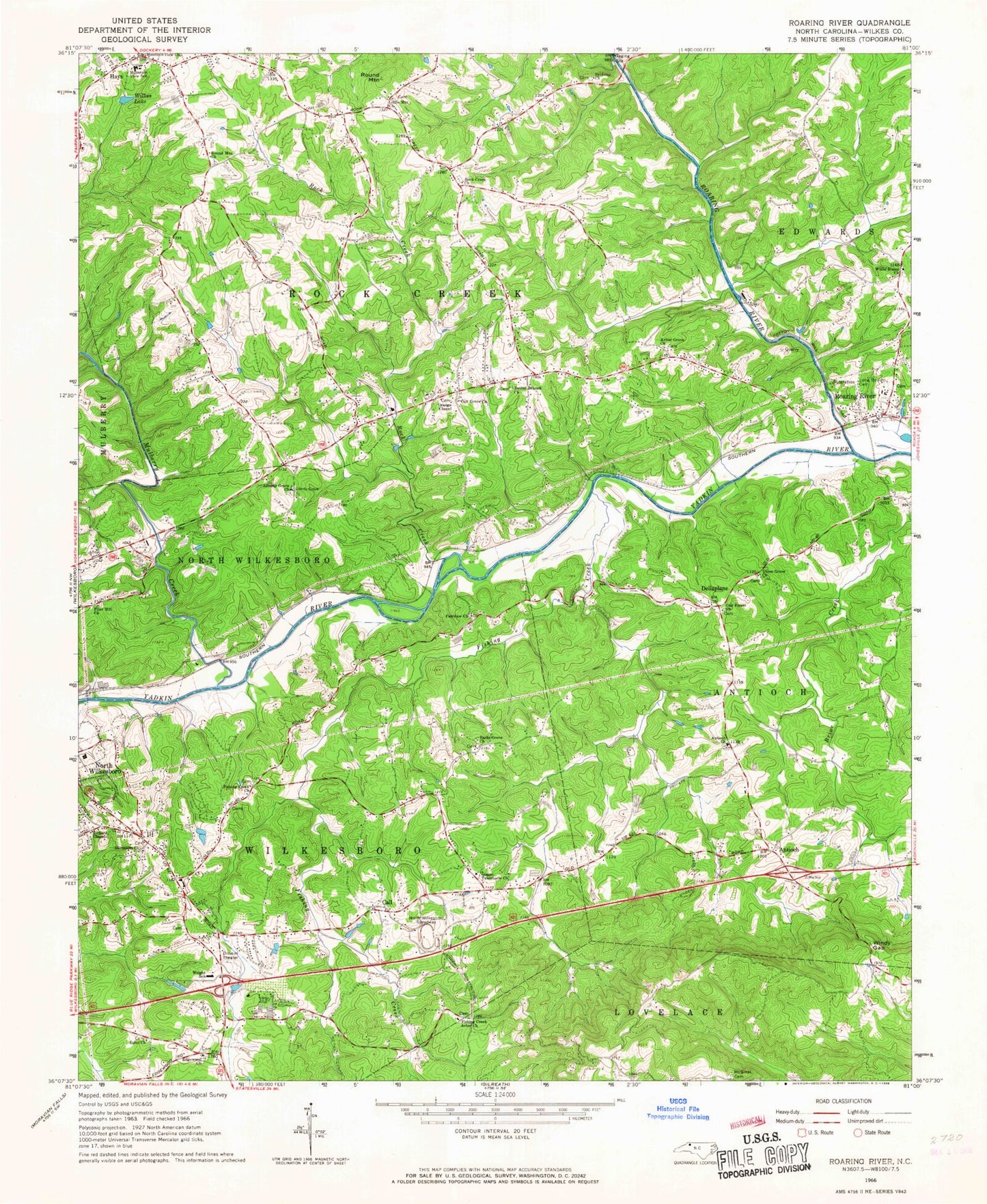
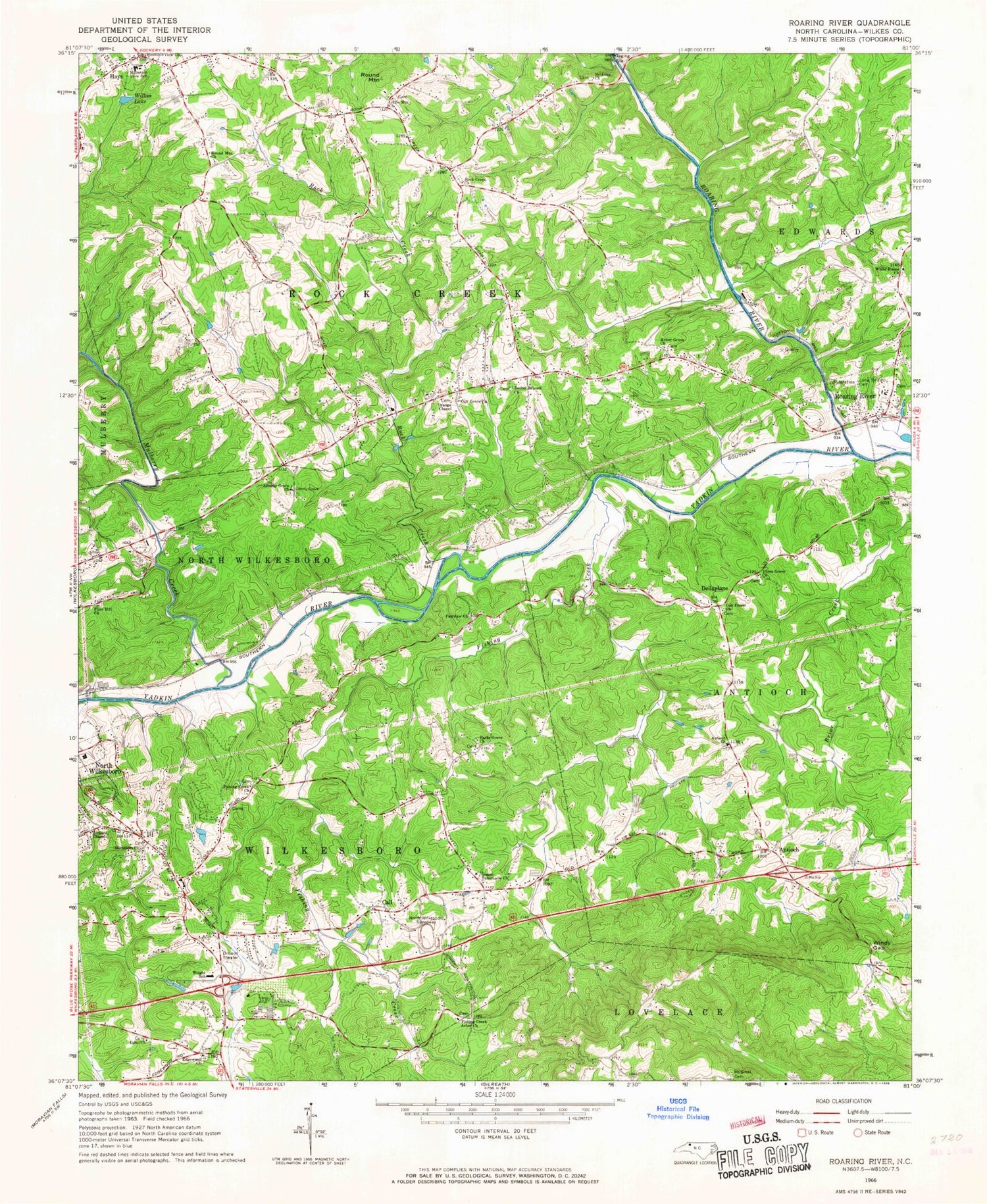
Classic USGS Roaring River North Carolina 7.5'x7.5' Topo Map
Couldn't load pickup availability
Historical USGS topographic quad map of Roaring River in the state of North Carolina. Map scale may vary for some years, but is generally around 1:24,000. Print size is approximately 24" x 27"
This quadrangle is in the following counties: Wilkes.
The map contains contour lines, roads, rivers, towns, and lakes. Printed on high-quality waterproof paper with UV fade-resistant inks, and shipped rolled.
Contains the following named places: Antioch, Antioch Baptist Church, Arbor Grove Church, Bethany Church, Bethel Branch Church, Bethel Church, Broadway Volunteer Fire Department, Bryan, Call, Call Mill, Churchs Mill, Damaseus Church, Dellaplane, Edgewood, Edgewood Baptist Church, Eshol Church, Fairview Church, Fishing Creek, Fishing Creek Arbor Church, Fishing Creek Church, Flint Hill Church, Gospel Tabernacle Church, Hays, Hays Census Designated Place, Hays Post Office, Knottville, Knotville Volunteer Fire Department, Liberty Grove Baptist Church, Little Brushy Mountain Volunteer Fire Department, Little Mountain Church, Miller School, Mount Sinai Cemetery, Mountain View School, Mountain View Volunteer Fire Department, Mulberry Creek, New River Mental Health Center, North Wilkesboro Speedway, Oak Forest Baptist Church, Oak Grove Church, Oak Grove School, Orange Chapel, Parks Grove Church, Parks Mill, Piney Ridge School, Rickerd Chapel, Roaring River, Roaring River Elementary School, Roaring River Fire Department, Roaring River Post Office, Roaring River United Methodist Cemetery - Long Bottom Cemetery, Roaring River Volunteer Fire Department, Rock Creek, Rock Creek Church, Round Mountain, Round Mountain Church, Russaw, Shepherds Mill, Township of Antioch, Township of Rock Creek, Township of Wilkesboro, Union Grove Church, White Plains Baptist Church, Wilkes County Airport, Wilkes Lake, Windy Gap, Wright School


