MyTopo
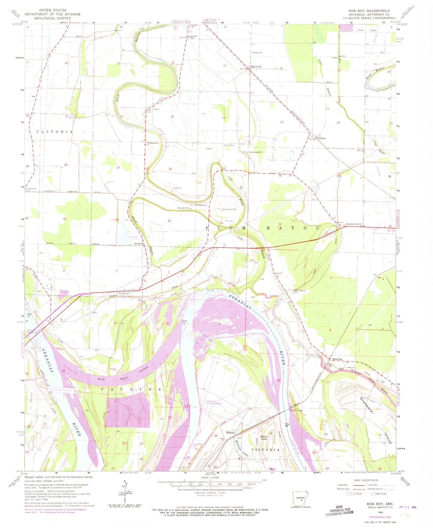
Classic USGS Rob Roy Arkansas 7.5'x7.5' Topo Map
Couldn't load pickup availability
Historical USGS topographic quad map of Rob Roy in the state of Arkansas. Map scale may vary for some years, but is generally around 1:24,000. Print size is approximately 24" x 27"
This quadrangle is in the following counties: Jefferson.
The map contains contour lines, roads, rivers, towns, and lakes. Printed on high-quality waterproof paper with UV fade-resistant inks, and shipped rolled.
Contains the following named places: Bayou Pete, Bethlehem Church, Black Bayou, Black Bayou Lateral, Boyd Point Cutoff, Brean Lake, Brushy Lake, Corinth Church, Cottonwood Cemetery, Cottonwood Church, Dumbeck Spur, Ellison, Fergus Crossing, Fish Point, Greenleaf Landing, Haywood, Island Harbor Volunteer Fire Department, Jefferson County, Jefferson County Free Bridge, Kelly Island, Lateral D-1, Lateral D-2, Lateral D-3, Lateral Number 1, Lateral Number 2, Lateral Number 3, New Hope Church, Pine Bluff Port, Plum Bayou, Plum Bayou Church, Plum Bayou Levee, Plum Bayou School, Prayer Lake Cemetery, Prayer Lake Church, Reynolds Church, Rice Cemetery, Roan Landing, Rob Roy, Rob Roy Bridge, Rob Roy Shoal, Ronoke Church, Saint John Church, Saint Johns School, Saint Lukes Cemetery, Saint Lukes School, Saint Marks Church, Saint Marks School, Saint Mary's Catholic Church Cemetery, Saint Marys Church, Sainte Marie Bend, Sainte Marie Public Use Area, Sheppard Island, Sherrill School, Sturgen Church, Sunrise Church, Sunrise School, Temple Star Church, Thomas Cemetery, Township of Plum Bayou, Travelers Rest Church, Travelers Rest School, Tucker Lake, Washington Cemetery, Waterloo Drainage Ditch, Wilkins, Wilkins Lake, Wilkins School, Willow Lake, Winfrey Reach, Yell Bend, ZIP Code: 72152


