MyTopo
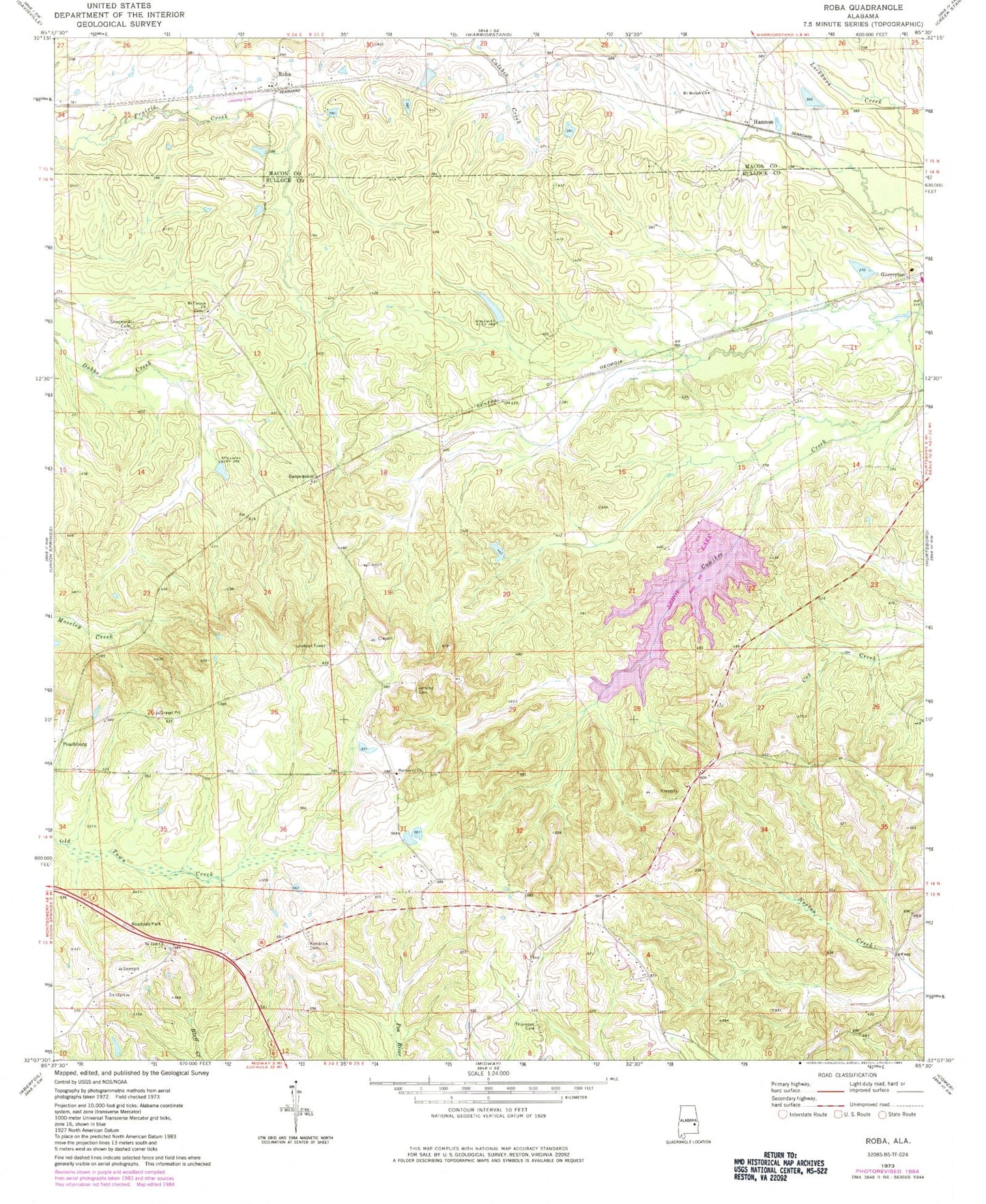
Classic USGS Roba Alabama 7.5'x7.5' Topo Map
Couldn't load pickup availability
Historical USGS topographic quad map of Roba in the state of Alabama. Map scale may vary for some years, but is generally around 1:24,000. Print size is approximately 24" x 27"
This quadrangle is in the following counties: Bullock, Macon.
The map contains contour lines, roads, rivers, towns, and lakes. Printed on high-quality waterproof paper with UV fade-resistant inks, and shipped rolled.
Contains the following named places: Boswell Gin, Chananagi, Dawson Church, Guerryton, Hannon, Hannon School, Hardaway African Methodist Episcopal Church, Highway 51 North Volunteer Fire Department, Jericho Cemetery, Kendrick Cemetery, Mcclean Lake, Mcclean Lake Dam, Mount Canaan Church, Mount Canaan School, Mount Moriah Church, Mount Zion Church, Old Pine Grove Church, Peachburg, Roba, Roba Post Office, Sehoy Dam, Sehoy Lake, Sehoy Plantation Lake Dam, Shepherd Cemetery, Spratling Field, Suspension, Thornton Cemetery