MyTopo
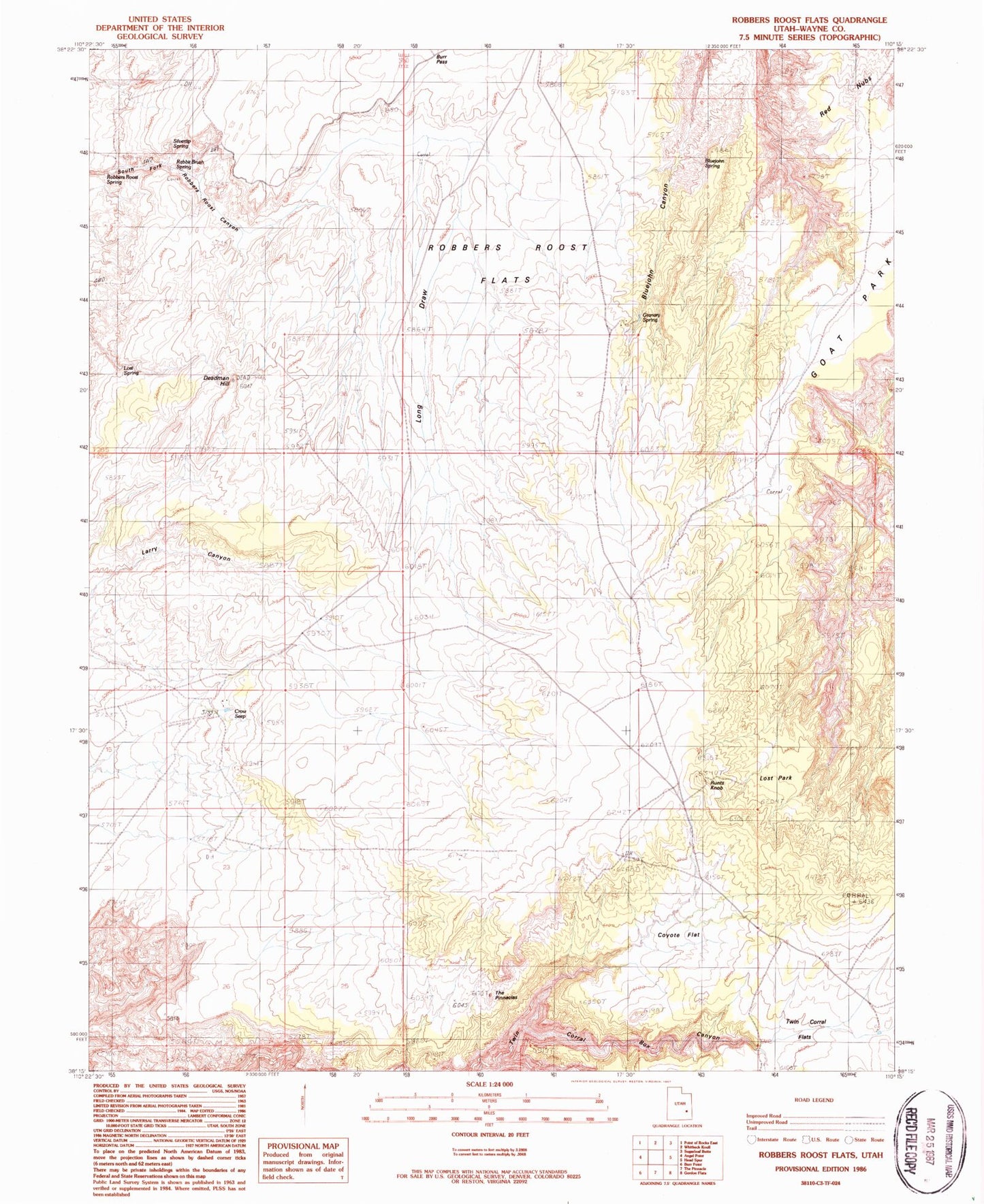
Classic USGS Robbers Roost Flats Utah 7.5'x7.5' Topo Map
Regular price
$16.95
Regular price
Sale price
$16.95
Unit price
per
Couldn't load pickup availability
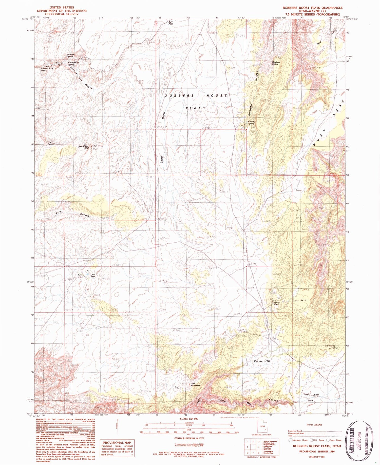
Historical USGS topographic quad map of Robbers Roost Flats in the state of Utah. Typical map scale is 1:24,000, but may vary for certain years, if available. Print size: 24" x 27"
This quadrangle is in the following counties: Wayne.
The map contains contour lines, roads, rivers, towns, and lakes. Printed on high-quality waterproof paper with UV fade-resistant inks, and shipped rolled.
Contains the following named places: Twin Corral Flats, Angel Trail, Biddlecome Ranch, Bluejohn Spring, Burr Pass, Coyote Flat, Crow Seep, Deadman Hill, Goat Park, Granary Spring, Long Draw, Lost Park, Rabbit Brush Spring, Red Nubs, Robbers Roost Flats, Runts Knob, Silvertip Spring, The Pinnacles, Lost Spring


