
MyTopo
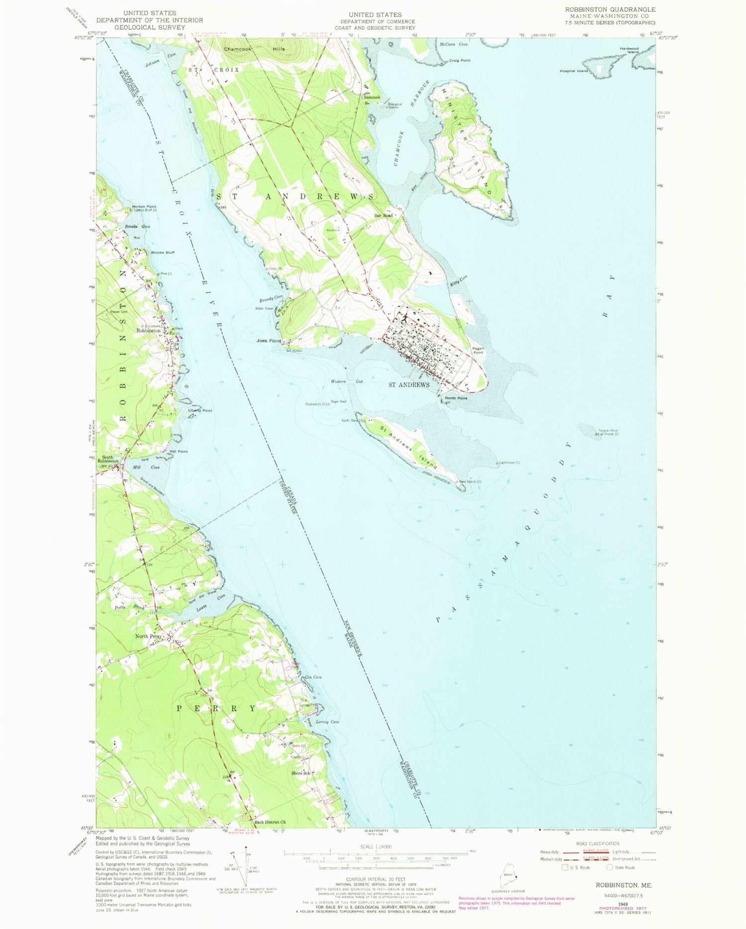
Classic USGS Robbinston Maine 7.5'x7.5' Topo Map
Couldn't load pickup availability
Historical USGS topographic quad map of Robbinston in the state of Maine. Map scale may vary for some years, but is generally around 1:24,000. Print size is approximately 24" x 27"
This quadrangle is in the following counties: Washington.
The map contains contour lines, roads, rivers, towns, and lakes. Printed on high-quality waterproof paper with UV fade-resistant inks, and shipped rolled.
Contains the following named places: Back District Church, Brewer Cemetery, Brooks Bluff, Brooks Cove, Gin Cove, Hinton Point, Lewis Cove, Liberty Point, Loring Cove, Mill Cove, Mill Point, Morrison's Airport, North Perry, Passamaquoddy Bay, Perry Elementary School, Pollock Cove, Pottle Brook, Robbinston, Robbinston Fire Department, Robbinston Grade School, Robbinston Post Office, Saint Croix River, Shore School, South Robbinston, Western Stream


