MyTopo
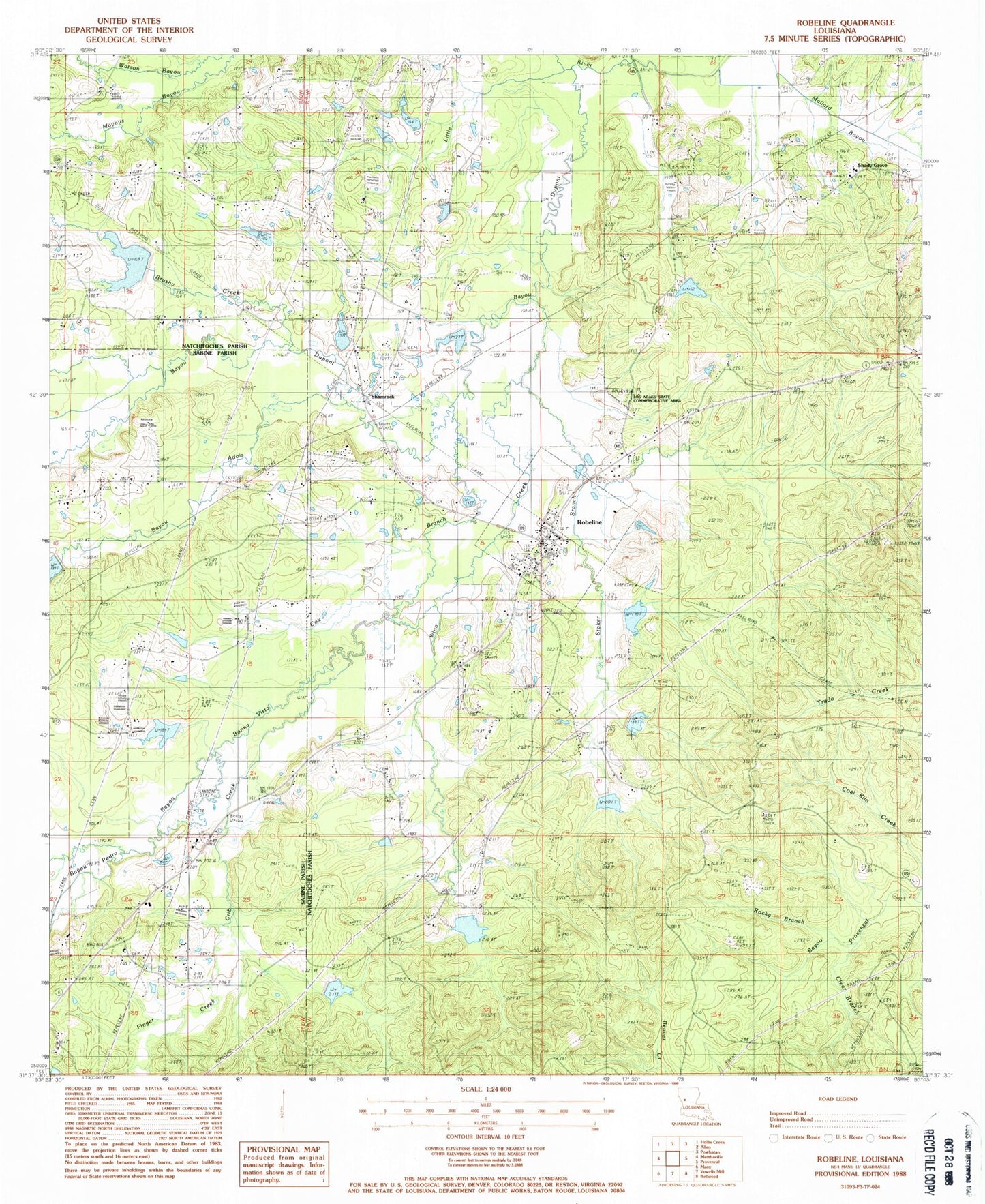
Classic USGS Robeline Louisiana 7.5'x7.5' Topo Map
Couldn't load pickup availability
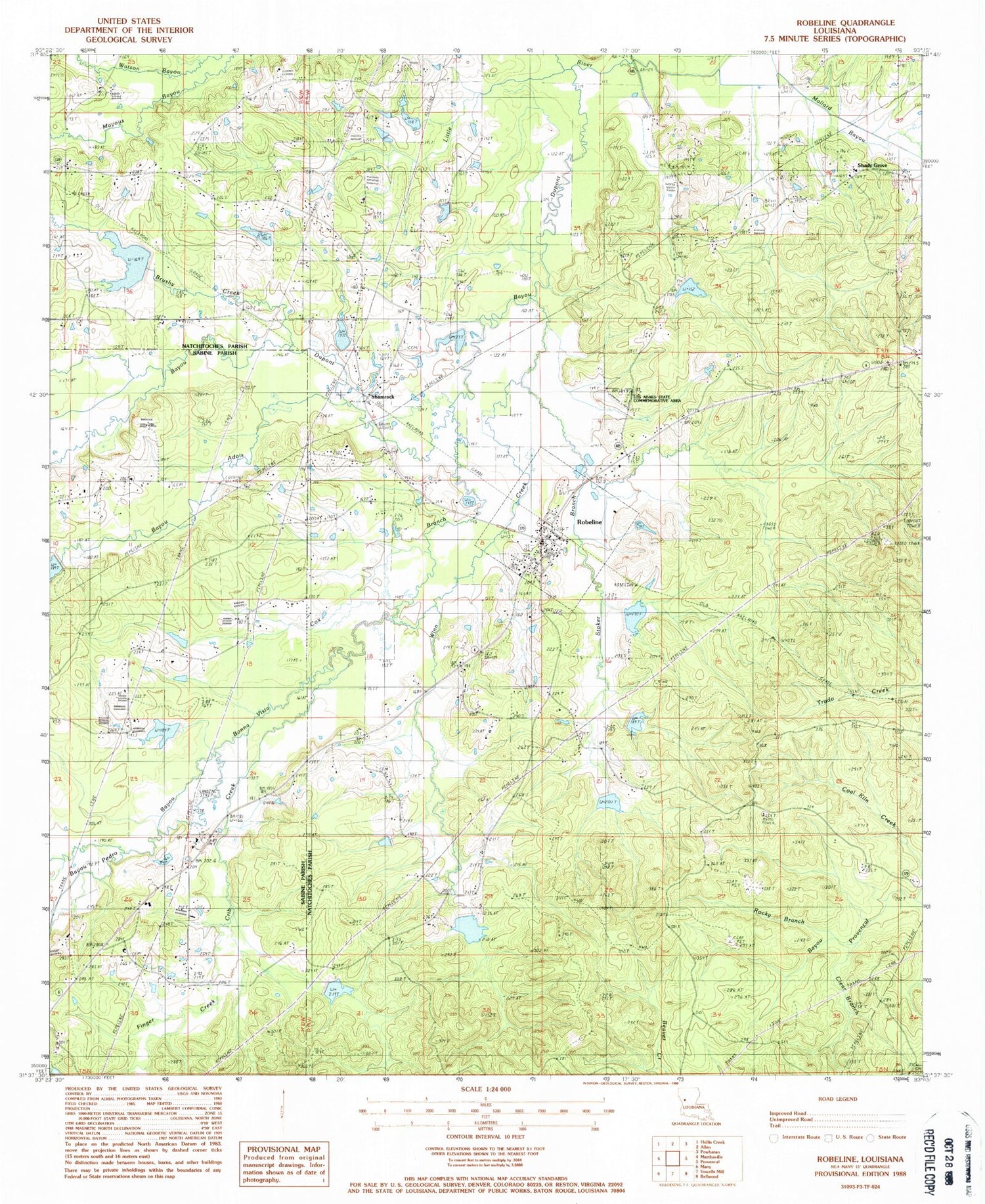
Historical USGS topographic quad map of Robeline in the state of Louisiana. Map scale may vary for some years, but is generally around 1:24,000. Print size is approximately 24" x 27"
This quadrangle is in the following counties: Natchitoches, Sabine.
The map contains contour lines, roads, rivers, towns, and lakes. Printed on high-quality waterproof paper with UV fade-resistant inks, and shipped rolled.
Contains the following named places: Adais Caddo State Designated Tribal Statistical Area, Adois, Bayou Bonna Vista, Bayou Dupont, Bayou Dupont Number 13 Dam, Bayou Dupont Number 14 Dam, Bayou Dupont Number 15 Dam, Bayou Dupont Number 17 Dam, Bayou Dupont Number 18 Dam, Bayou Dupont Number 19 Dam, Bayou Dupont Number 20 Dam, Bayou Dupont Number 22 Dam, Bayou Dupont Number Eight Dam, Bayou Dupont Number Nine Dam, Bayou Dupont Number Seven Dam, Bayou Pedro, Bayous Adois, Big Hill Lookout Tower, Brushy Creek, Castor Spring Church, Central Church, Clear Branch, Cox Branch, Crib Creek, Double Springs, Finger Creek, Fish Pond Bottom, Friendship Church, Friendship School, Holly Grove Church, Lambert School, Los Adaes, Los Adaes State Historic Site, Mount Carmel Cemetery, Mount Carmel Church, Natchitoches Parish Fire Protection District 7 Station 1, Natchitoches Parish Fire Protection District 7 Station 6, Pine Grove Church, Robeline, Robeline Cemetery, Robeline Gas Field, Robeline Methodist Church, Robeline Post Office, Rocky Branch, Rocky Mount Church, Rocky Mount School, Sawmill Camp, Shady Grove, Shady Grove School, Shamrock, Stoker Branch, Union Grove Church, Village of Robeline, Ward Three, Winn Creek, ZIP Code: 71469


