MyTopo
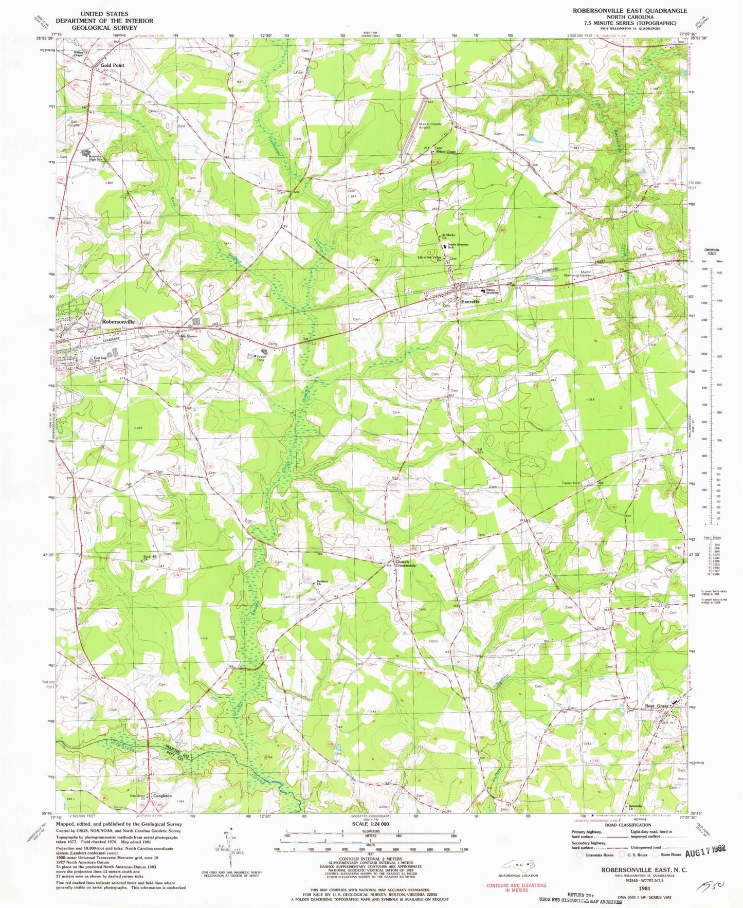
Classic USGS Robersonville East North Carolina 7.5'x7.5' Topo Map
Couldn't load pickup availability
Historical USGS topographic quad map of Robersonville East in the state of North Carolina. Map scale may vary for some years, but is generally around 1:24,000. Print size is approximately 24" x 27"
This quadrangle is in the following counties: Martin, Pitt.
The map contains contour lines, roads, rivers, towns, and lakes. Printed on high-quality waterproof paper with UV fade-resistant inks, and shipped rolled.
Contains the following named places: Bear Grass, Bear Grass High School, Belmont Church, Church Crossroads, Collie Swamp, Congleton, East End School, Everetts, Everetts Post Office, Gold Point, Holy Mission Church, Huskanaw Swamp, Lily of the Valley Church, Martin Academy, Martin County Airport, Martin Memorial Garden, North Everetts School, Oak Grove Church, Rehoboth Church, Roanoke High School, Robersonville, Rock Hill Church, Ross Swamp, Saint Marks Church, Town of Bear Grass, Town of Everetts, Township of Cross Roads, Willow Chapel, Wilson Chapel, ZIP Code: 27825