MyTopo
Classic USGS Roberta Georgia 7.5'x7.5' Topo Map
Couldn't load pickup availability
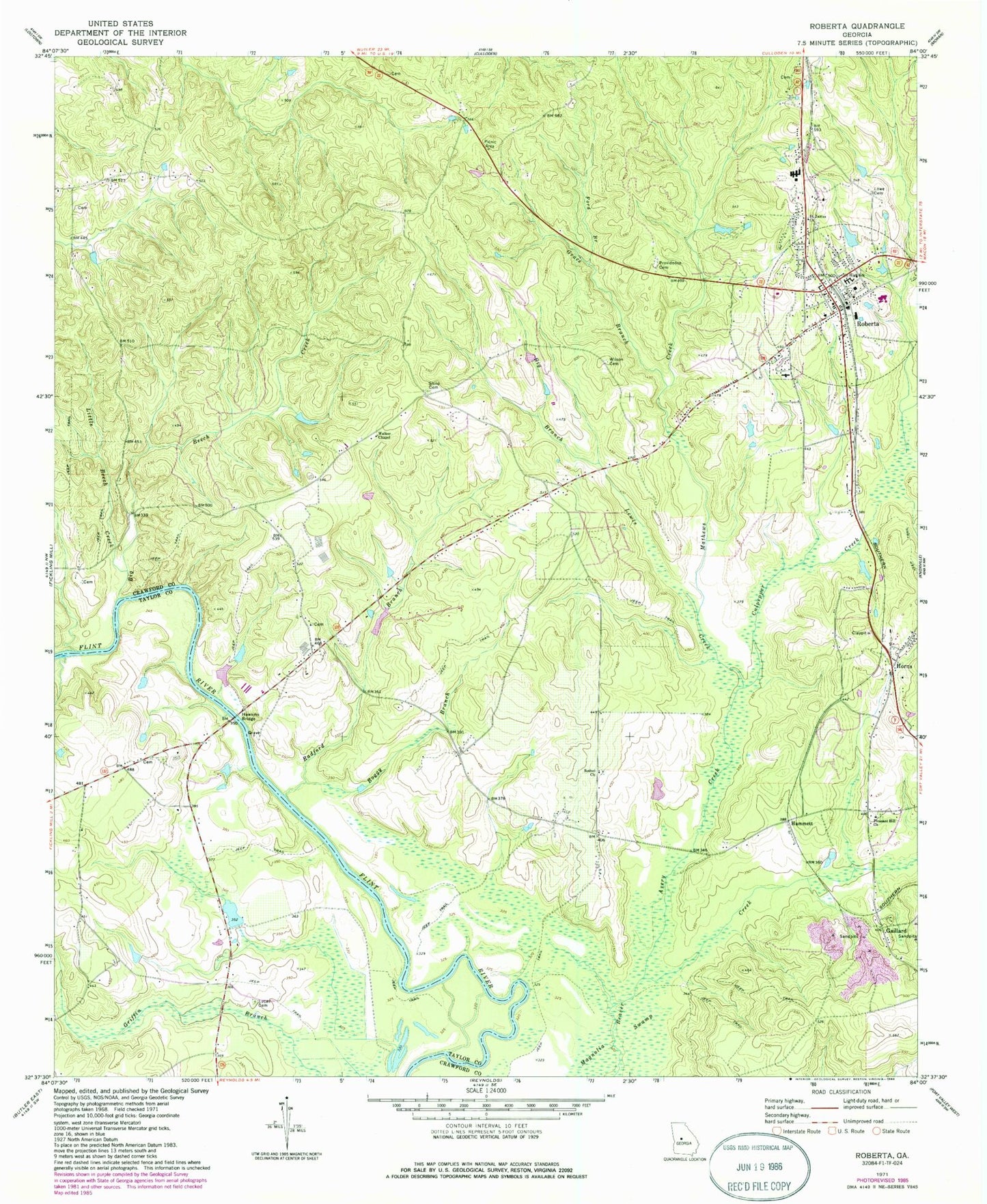
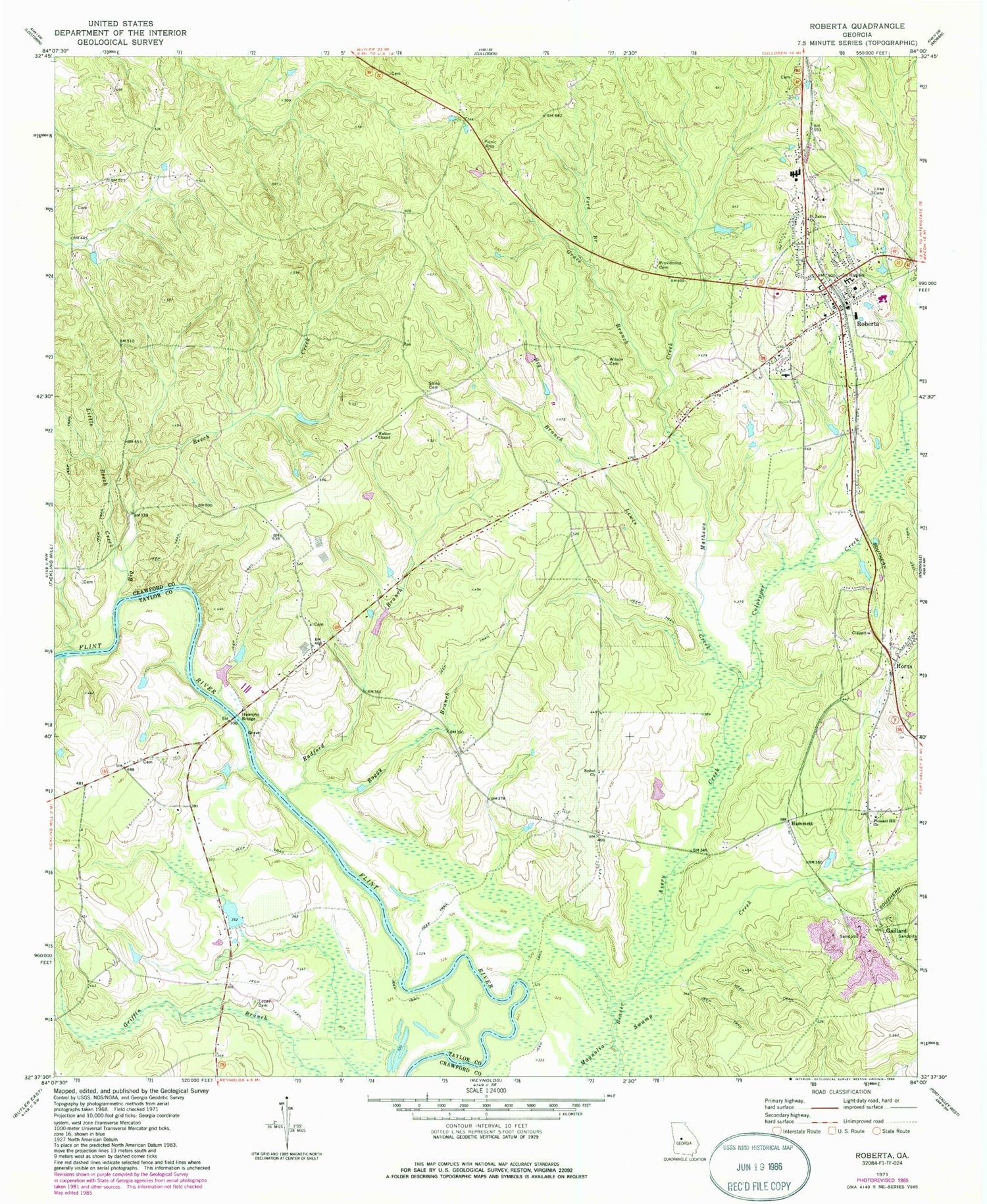
Historical USGS topographic quad map of Roberta in the state of Georgia. Map scale may vary for some years, but is generally around 1:24,000. Print size is approximately 24" x 27"
This quadrangle is in the following counties: Crawford, Taylor.
The map contains contour lines, roads, rivers, towns, and lakes. Printed on high-quality waterproof paper with UV fade-resistant inks, and shipped rolled.
Contains the following named places: Avery Creek, Bell Dam, Bell Lake, Benjamin Hawkins Monument, Bethel Cemetery, Bethel Church, Big Beech Creek, Big Branch Lewis Creek, Boggy Branch, Central Georgia Technical College - Crawford County Center, Chambliss Cemetery, City of Roberta, Colonel Benjamin Hawkins Grave, Confederate Cemetery, Crawford County Comprehensive High School, Crawford County Elementary School, Crawford County Fire Department Station 1, Crawford County Fire Department Station 5, Crawford County Middle School, Culpepper Creek, Flowers Family Cemetery, Ford Branch, Francisville, Gaillard, Gaillard Church, Gaillard Church Cemetery, Gentle Landings Air Park, Grace Branch, Griffith, Hammett, Hawkins Bridge, Horne Family Cemetery, Horns, Jordan Grove African Methodist Episcopal Church, Jordan Grove Cemetery, Little Beech Creek, Lowe Cemetery, Lucas Cemetery, Mathews Creek, Mount Carmel Baptist Church, Mount Carmel Church Cemetery, Old Knoxville Cemetery, Pinegrove Cemetery, Pinegrove Primitive Baptist Church, Pineview Baptist Church, Pleasant Hill Church, Pleasant Hill Church Cemetery, Preston Cemetery, Providence Cemetery, Radford Branch, Roberta, Roberta Baptist Church, Roberta City Cemetery, Roberta City Hall, Roberta Evangelistic Church, Roberta Historic District, Roberta Methodist Church, Roberta Nursing Home, Roberta Police Department, Roberta Post Office, Roberta Primitive Baptist Church, Saint James Church, Shilo Cemetery, Spillers Cemetery, Walker Chapel, Wilson Cemetery, ZIP Code: 31078


