MyTopo
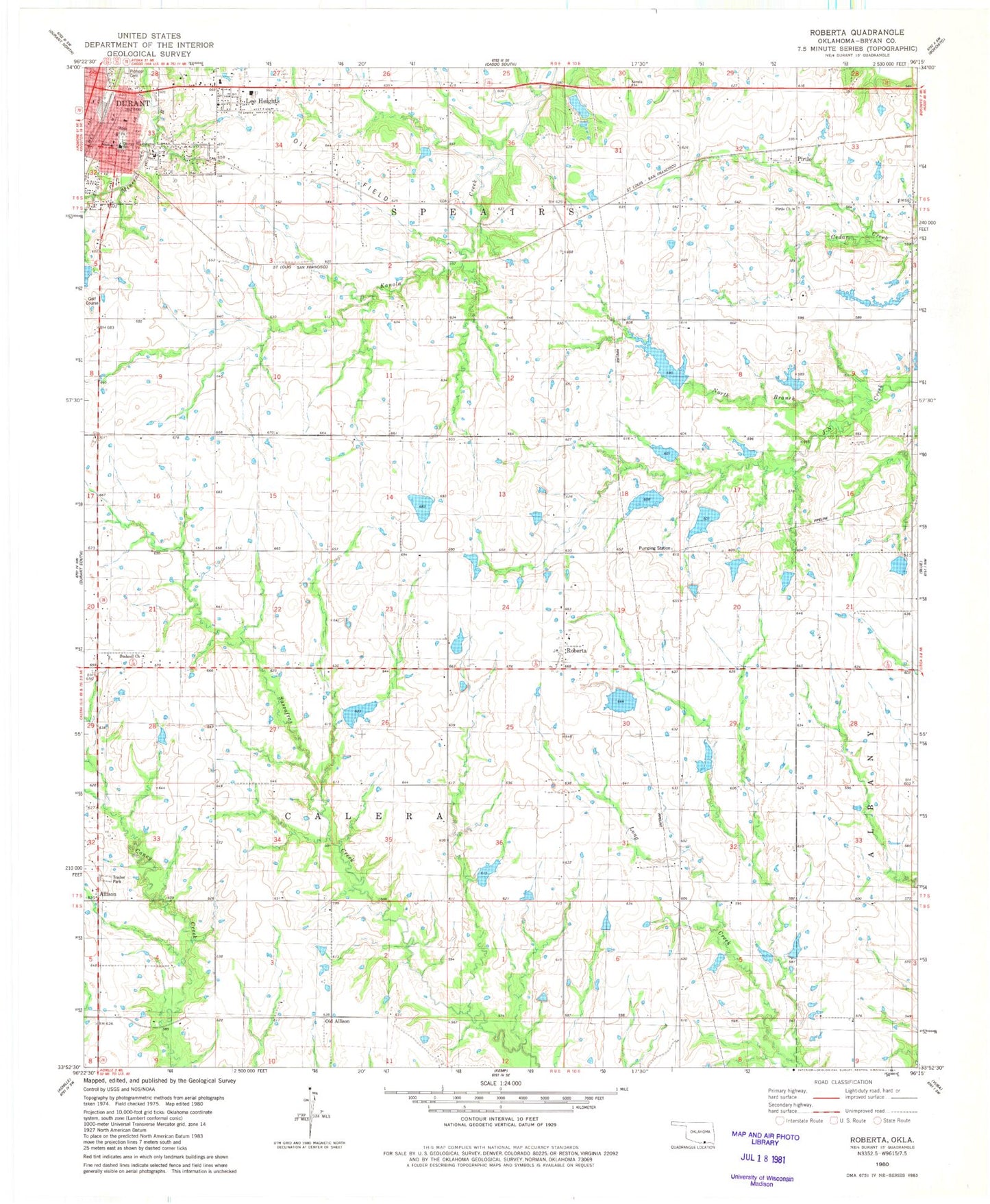
Classic USGS Roberta Oklahoma 7.5'x7.5' Topo Map
Couldn't load pickup availability
Historical USGS topographic quad map of Roberta in the state of Oklahoma. Map scale may vary for some years, but is generally around 1:24,000. Print size is approximately 24" x 27"
This quadrangle is in the following counties: Bryan.
The map contains contour lines, roads, rivers, towns, and lakes. Printed on high-quality waterproof paper with UV fade-resistant inks, and shipped rolled.
Contains the following named places: Allison, Anderson Lake, Anderson Lake Dam, Boatner Lake, Boatner Lake Dam, Bryan County, Bushnell Church, Callaway Lake, Callaway Lake Dam, Calvary Temple Assembly of God, Casteel Lake, Casteel Lake Dam, Conditt Lake, Conditt Lake Dam, Durant, Farrell Lake, Farrell Lake Dam, George Washington School, Grace Baptist Church, H L D M Farms Incorporated Lake, H L D M Farms Incorporated Lake Dam, Isom 3 Lake, Isom 3 Lake Dam, Isom I Lake, Isom I Lake Dam, Isom Lake, Isom Lake Dam, Lee Chapel, Lee Heights, Martingly Lake Number 1, Mattingly Lake Number 1 Dam, Mattingly Lake Number 2, Mattingly Lake Number 2 Dam, North Branch J-N Creek, Oknoname 013004 Dam, Oknoname 013007 Dam, Oknoname 013007 Reservoir, Oknoname 013019 Dam, Oknoname 013019 Reservoir, Oknoname 013022 Dam, Oknoname 013022 Reservoir, Oknoname 031004 Reservoir, Old Allison, Philadelphia Volunteer Fire Department, Pioneer Cemetery, Pirtle, Pirtle Church, Pirtle School, Roberta, Roberta Volunteer Fire Department, Roberts Lake Number 1, Roberts Lake Number 1 Dam, Roberts Lake Number 2, Roberts Lake Number 2 Dam, Shepard Lake, Shepard Lake Dam, Township of Calera, Township of Speairs, United Pentecostal Church