MyTopo
Classic USGS Roberts Alabama 7.5'x7.5' Topo Map
Couldn't load pickup availability
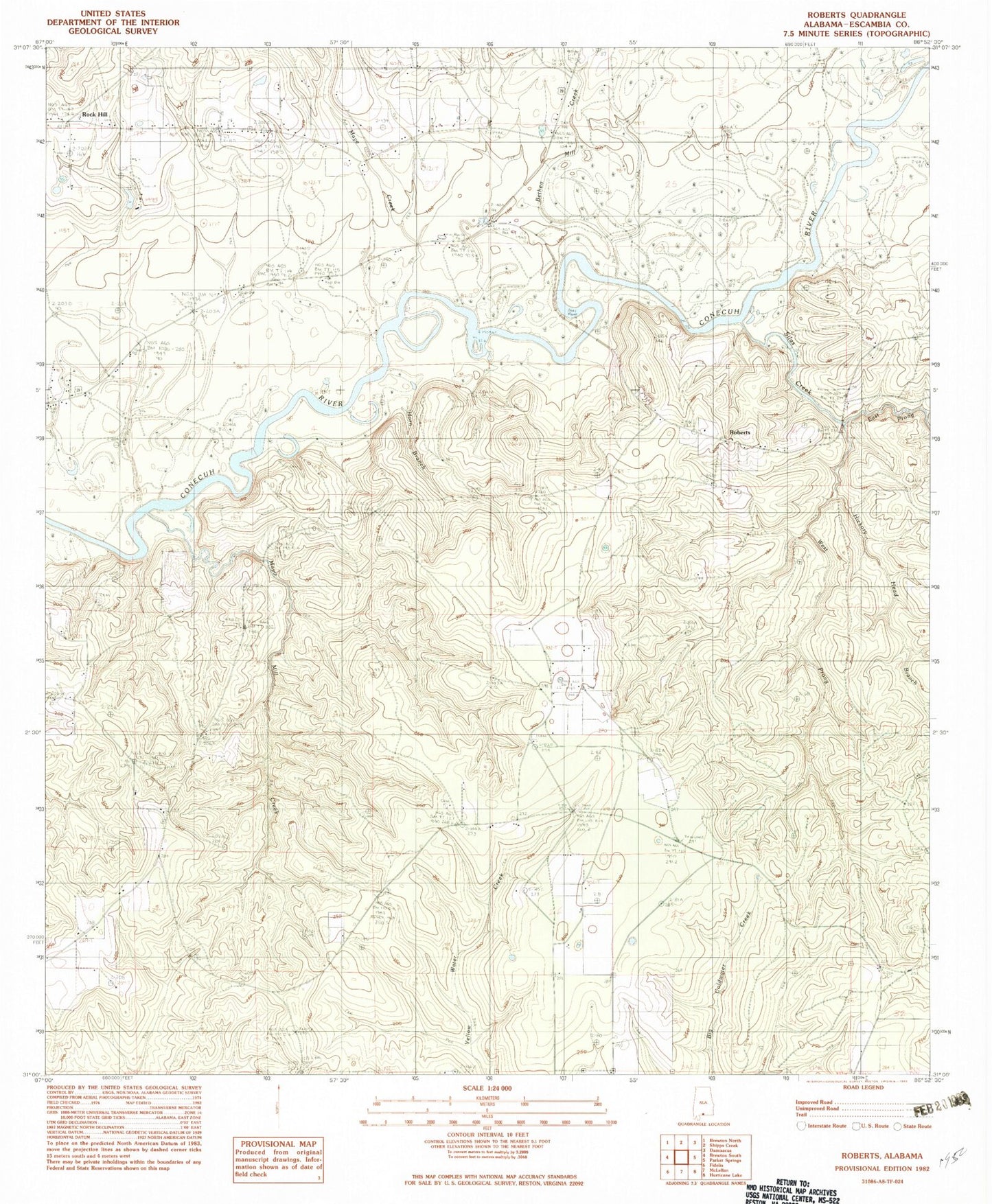
Historical USGS topographic quad map of Roberts in the state of Alabama. Map scale may vary for some years, but is generally around 1:24,000. Print size is approximately 24" x 27"
This quadrangle is in the following counties: Escambia.
The map contains contour lines, roads, rivers, towns, and lakes. Printed on high-quality waterproof paper with UV fade-resistant inks, and shipped rolled.
Contains the following named places: Bethea Mill Creek, Bethel Cemetery, Bethel Church, Crossway Creek, Dexter Hill School, East Escambia Division, East Prong Silas Creek, First Open Bible Church, Fuqua Haveard Cemetery, Harold Mill, Hickory Head Branch, May Creek Cemetery, May Creek United Methodist Church, Maye Creek, Mayo Mill Creek, Mayos Toll Bridge, Parker Bridge, Ridge Road Volunteer Fire Department, Roberts, Rock Hill, Rock Hill Assembly of God Church, School House Creek, Second Shady Grove Baptist Church, Shady Grove Church, Silas Creek, West Prong Silas Creek