MyTopo
Classic USGS Robertsburg West Virginia 7.5'x7.5' Topo Map
Couldn't load pickup availability
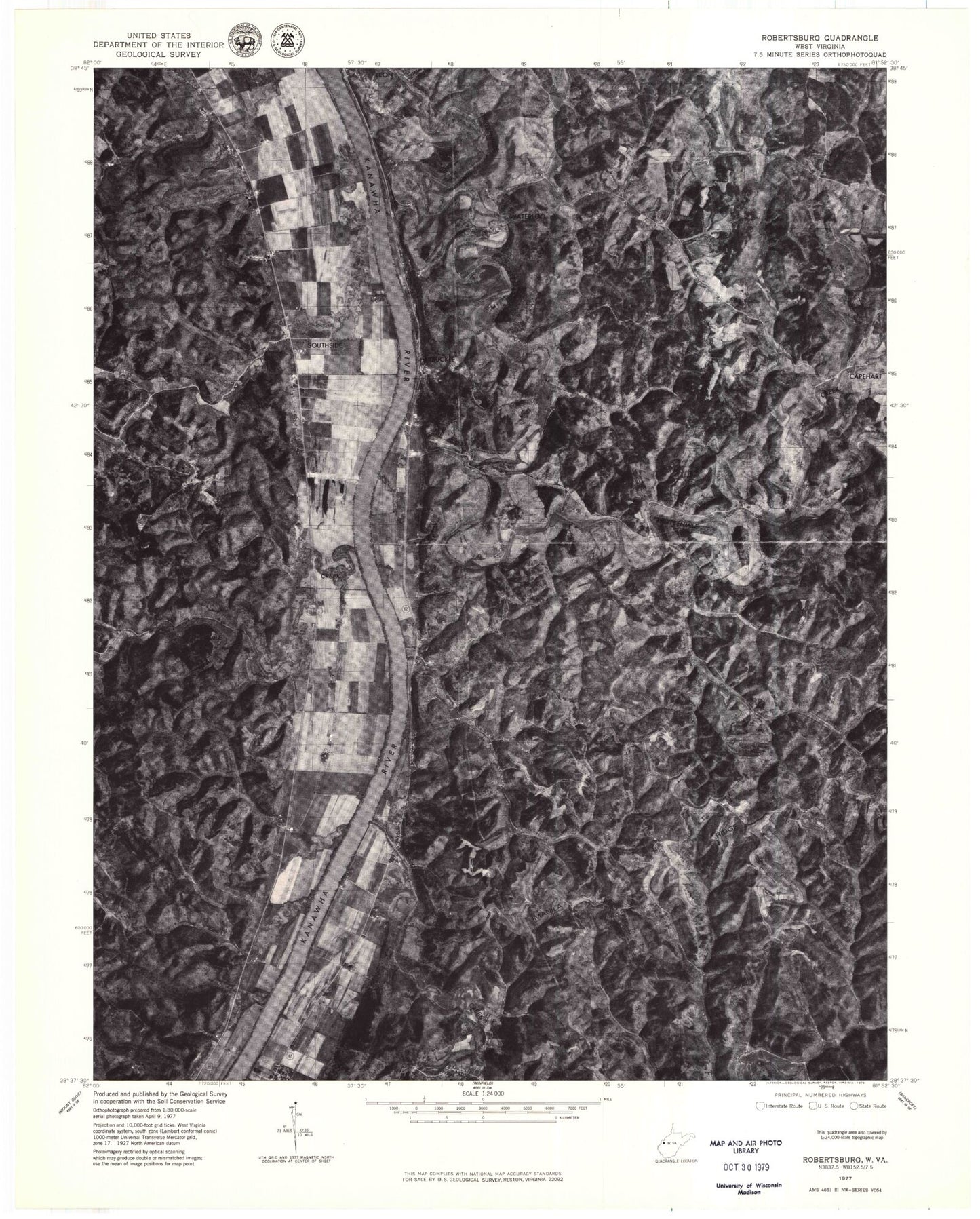
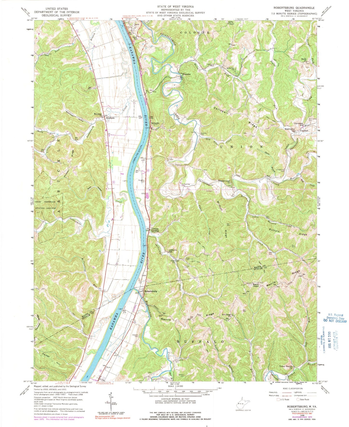
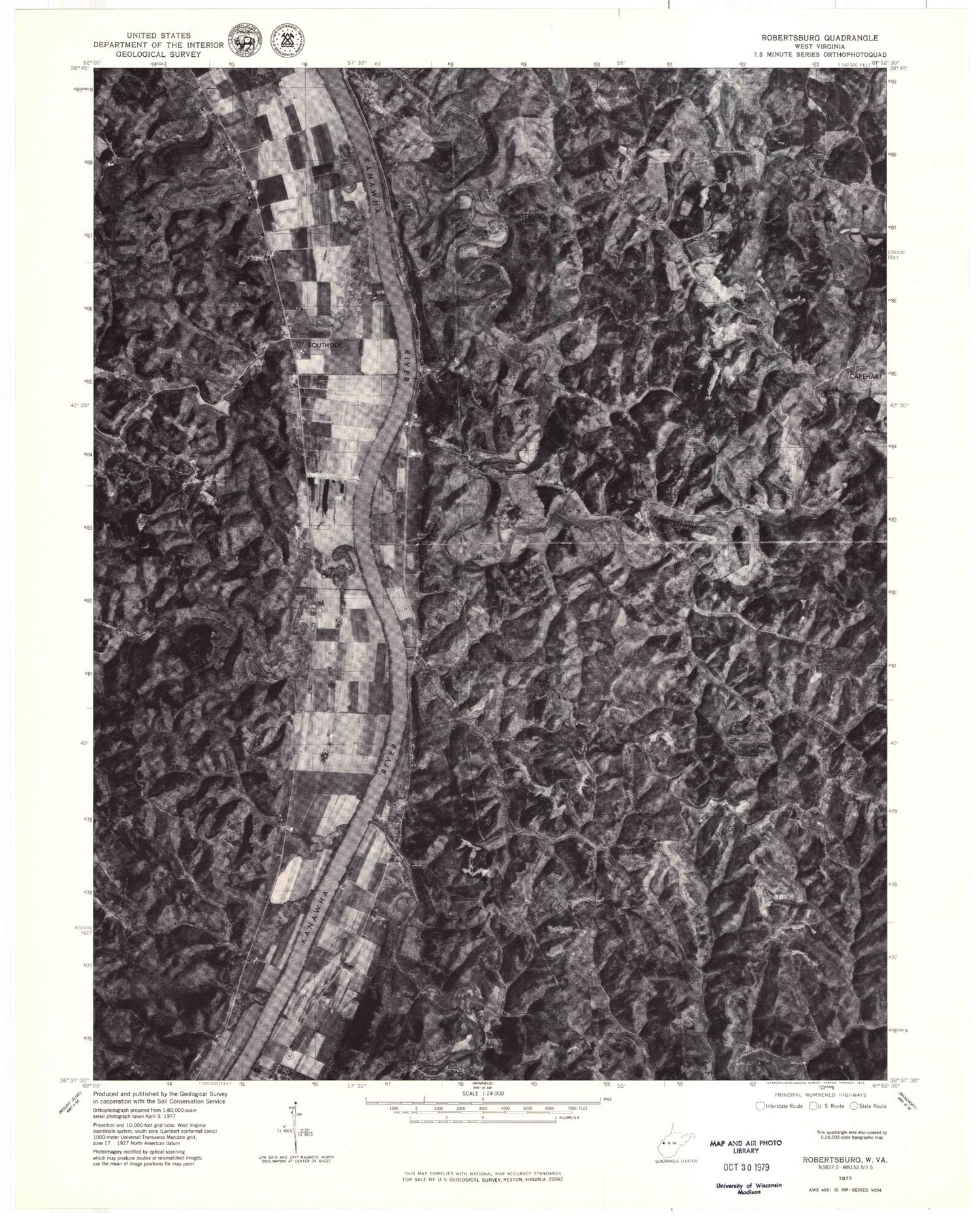
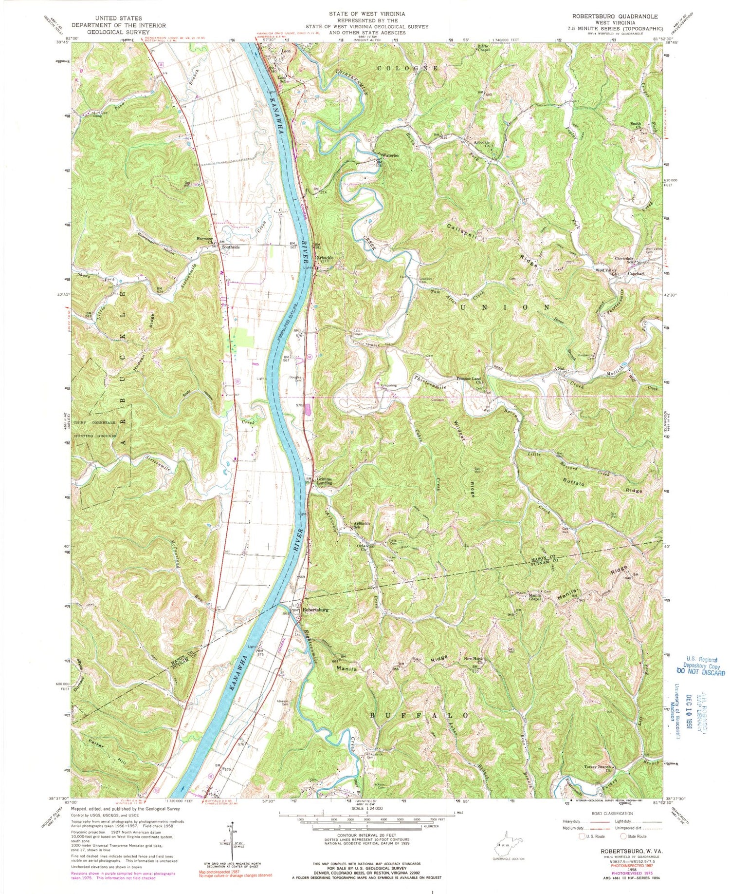
Historical USGS topographic quad map of Robertsburg in the state of West Virginia. Map scale may vary for some years, but is generally around 1:24,000. Print size is approximately 24" x 27"
This quadrangle is in the following counties: Mason, Putnam.
The map contains contour lines, roads, rivers, towns, and lakes. Printed on high-quality waterproof paper with UV fade-resistant inks, and shipped rolled.
Contains the following named places: Arbuckle, Arbuckle Cemetery, Arbuckle Church, Arbuckle Creek, Arbuckle Post Office, Arbuckle Presbyterian Church, Arbuckle School, Atkeson Cemetery, Bennett Spring, Boardman Hollow, Buffalo Ridge, Buzzard Creek, Cabin Creek, Calispell Ridge, Capehart, Cloverdale School, Craig Cemetery, Daves Branch, Densil Jividen Spring, Douglas Cemetery, Eighteenmile Creek, Ernest Tucker Spring, Greenlee Cemetery, Grimms Landing, Grimms Landing Post Office, Harmony Church, Haynes Spring, Hudson Ridge, Hulbert Spring, Jackson Cemetery, John Lloyd Spring, Kimberling Cemetery, Kirkpatrick Cemetery, Left Fork Turkey Branch, Leon Airport, Leon Cemetery, Leon Elementary School, Little Buzzard Creek, Little Sixteenmile Creek, Mahila Chapel, Manila Ridge, Manilla Chapel Cemetery, McCansland, McCausland Run, Mudlick Fork, Nat, Nat Truss Bridge, New Hope Church, North Park, Oma Church, Opossum Hollow, Otter Branch, Parker Hill, Poplar Fork, Promise Land Cemetery, Promise Land Church, Riffle Chapel, Riffle Chapel Cemetery, Robertsburg, Robertsburg Post Office, Rocky Fork, Shady Fork, Sixteenmile Creek, Slaty Hollow, Smith Church, Smith Church Cemetery, Southside, Southside Post Office, Tom Allen Creek, Town of Leon, Tucker Cemetery, Turkey Branch, Turkey Branch Church, Waterloo, Wildcat Ridge, Wolf Creek, Wolf Valley Church, Yeager Fork, ZIP Code: 25123


