MyTopo
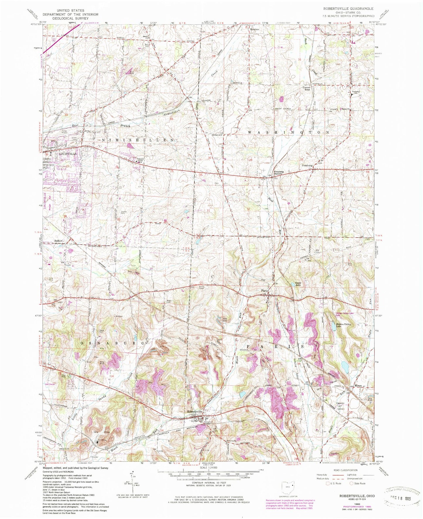
Classic USGS Robertsville Ohio 7.5'x7.5' Topo Map
Couldn't load pickup availability
Historical USGS topographic quad map of Robertsville in the state of Ohio. Map scale may vary for some years, but is generally around 1:24,000. Print size is approximately 24" x 27"
This quadrangle is in the following counties: Stark.
The map contains contour lines, roads, rivers, towns, and lakes. Printed on high-quality waterproof paper with UV fade-resistant inks, and shipped rolled.
Contains the following named places: American Sportsmen Club, Amish Cemetery, Arrowhead Orchard, Beech Mennonite Cemetery, Beech Mennonite Church, Belfort, Boardview Farms, Center Road, Central School, Christ Evangelical and Reformed Church, Clearview Golf Course, Copes Lake, Edgewater Golf Course, Embury Chapel Methodist Church, Fox School, Freeburg, Freeburg Cemetery, Freeburg Post Office, Freeburg Station, Hidden Valley Lake, Hidden Valley Lake Park, Israel Evangelical Lutheran Church, Lily of the Valley Herb Farm, Linden Hall School, Louisville Sportsmen Club, Maple Leaf Lake, Maple Leaf Lake Dam, Mapleton Station, Maximo Post Office, Motts Cemetery, Mott's Greenhouse, Myers, Nimishillen Township Fire Department Station 2, Paris, Paris Post Office, Paris School, Paris Township Cemetery, Pleasant Grove Elementary School, Pleasant Valley, Pleasant View Golf Club, Robertsville, Robertsville Cemetery, Robertsville Census Designated Place, Robertsville Elementary School, Robertsville Post Office, Robertsville Volunteer Fire Department, Roose Methodist Church, Saint Timothys Protestant Episcopal Church, Salem Church, Salem Greenlawn Cemetery, Snyder Cemetery, Township of Nimishillen, Township of Paris, Township of Washington, Union Cemetery, Washington Township Volunteer Fire Department, Yoder Airport, Zwick Cemetery, ZIP Codes: 44641, 44669, 44670


