MyTopo
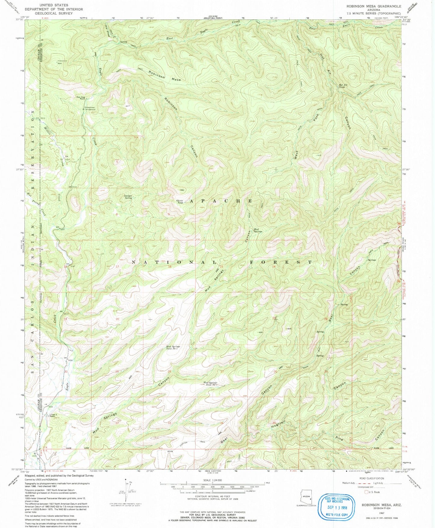
Classic USGS Robinson Mesa Arizona 7.5'x7.5' Topo Map
Couldn't load pickup availability
Historical USGS topographic quad map of Robinson Mesa in the state of Arizona. Map scale may vary for some years, but is generally around 1:24,000. Print size is approximately 24" x 27"
This quadrangle is in the following counties: Graham, Greenlee.
The map contains contour lines, roads, rivers, towns, and lakes. Printed on high-quality waterproof paper with UV fade-resistant inks, and shipped rolled.
Contains the following named places: Adbar Trail Fourteen, Bailey Place Corral, Bear Canyon Trail, Bear Cub Spring, Bear Spring, Bear Spring Number One, Big Pasture Tank, Black Mountain Tank, Blackwater Pit Tank, Blue Range, Caborne Tank, Circle Canyon Stock Tank, Coyote Tank, Crabtree Creek, Dry Prong Creek, East Eagle Creek, East Eagle Tank, East Eagle Trail Thirty-Three, Four Drag Ranch, G J Filleman Ranch, Glover Ridge, Glover Tank, Goodwin Tank, Hogtrail Canyon, Hogtrail Corral, Honeymoon Campground, Hot Air Canyon, Hot Air Tank, Hot Air Trail Fifteen, Juniper Spring, Middle Prong Creek, Mud Springs, Mud Springs Canyon Tank, Mud Springs Corral, Mud Springs Tank Number One, Mud Springs Tank Number Two, Mud Springs Trail Forty-nine, P Tank, Pine Canyon, Ranch Corral, Road Tank, Robinson Canyon, Robinson Mesa, Robinson Mesa Corral, Robinson Mesa Tank, Robinson Mesa Twenty-seven Trail, Robinson Spring, Sandy Tank, Sawmill Cabin, Seven Cross A Ranch, Sheep Saddle, Tercer Springs Number One, Tercer Springs Number Three, Tercer Springs Number Two, Trail Tank, West Fork Hot Air Canyon, West Fork Tank, Wet Prong Creek


