MyTopo
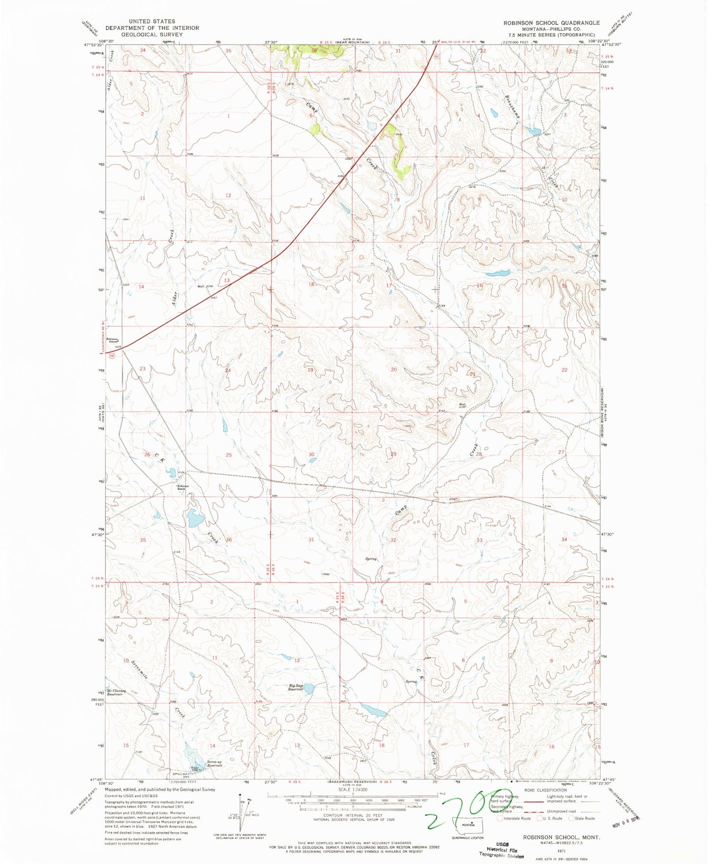
Classic USGS Robinson School Montana 7.5'x7.5' Topo Map
Couldn't load pickup availability
Historical USGS topographic quad map of Robinson School in the state of Montana. Map scale may vary for some years, but is generally around 1:24,000. Print size is approximately 24" x 27"
This quadrangle is in the following counties: Phillips.
The map contains contour lines, roads, rivers, towns, and lakes. Printed on high-quality waterproof paper with UV fade-resistant inks, and shipped rolled.
Contains the following named places: 24N25E13CBAA01 Well, 24N26E10BACC01 Well, 7-Up Dam, Alder Creek, Big Sage Reservoir, Big Sage Reservoir Dam, Camp Creek, Lazy J D Number 3 Dam, Lazy J-D Number 2 Dam, Matador Ranch Number 10 Dam, Robinson Ranch, Robinson School, Sentinel Dam, Seven-Up Reservoir, Twin Buttes School