MyTopo
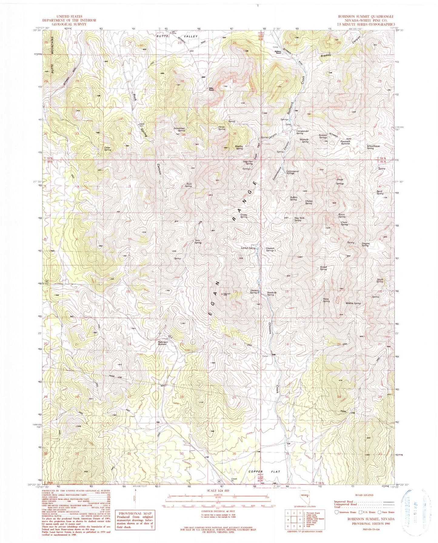
Classic USGS Robinson Summit Nevada 7.5'x7.5' Topo Map
Couldn't load pickup availability
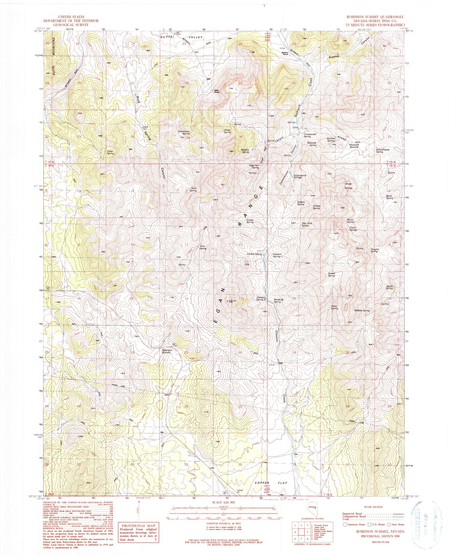
Historical USGS topographic quad map of Robinson Summit in the state of Nevada. Map scale may vary for some years, but is generally around 1:24,000. Print size is approximately 24" x 27"
This quadrangle is in the following counties: White Pine.
The map contains contour lines, roads, rivers, towns, and lakes. Printed on high-quality waterproof paper with UV fade-resistant inks, and shipped rolled.
Contains the following named places: Akron Spring, Anaud Spring, Band Spring, Bradley Canyon, Bradley Spring, Buffalo Spring, Camptender Spring, Cedar Spring, Clock Spring, Cottonwood Canyon, Cottonwood Springs, Egan Range, Gleason Spring One, Gleason Spring Two, Grassy Spring, Jamestown Spring, Locket Spring, Miller Ranch, New York Spring, Niagara Spring, Petes Spring, Piscevich Summit, Roadside Spring, Robinson Summit, Robison Ranch, Rocco Spring, Rock Spring, Rock Spring Canyon, Ruth Division, Sage Hen Canyon, Sage Hen Spring, Schoolhouse Spring, Shade Springs, South Spring, Summit Springs, Tank Spring, Uhalde Spring, Westside Spring, Wildcat Spring


