MyTopo
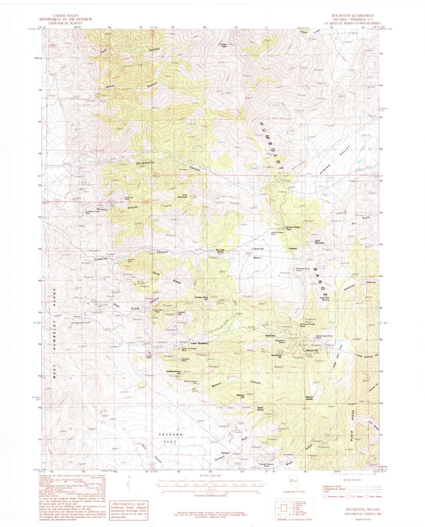
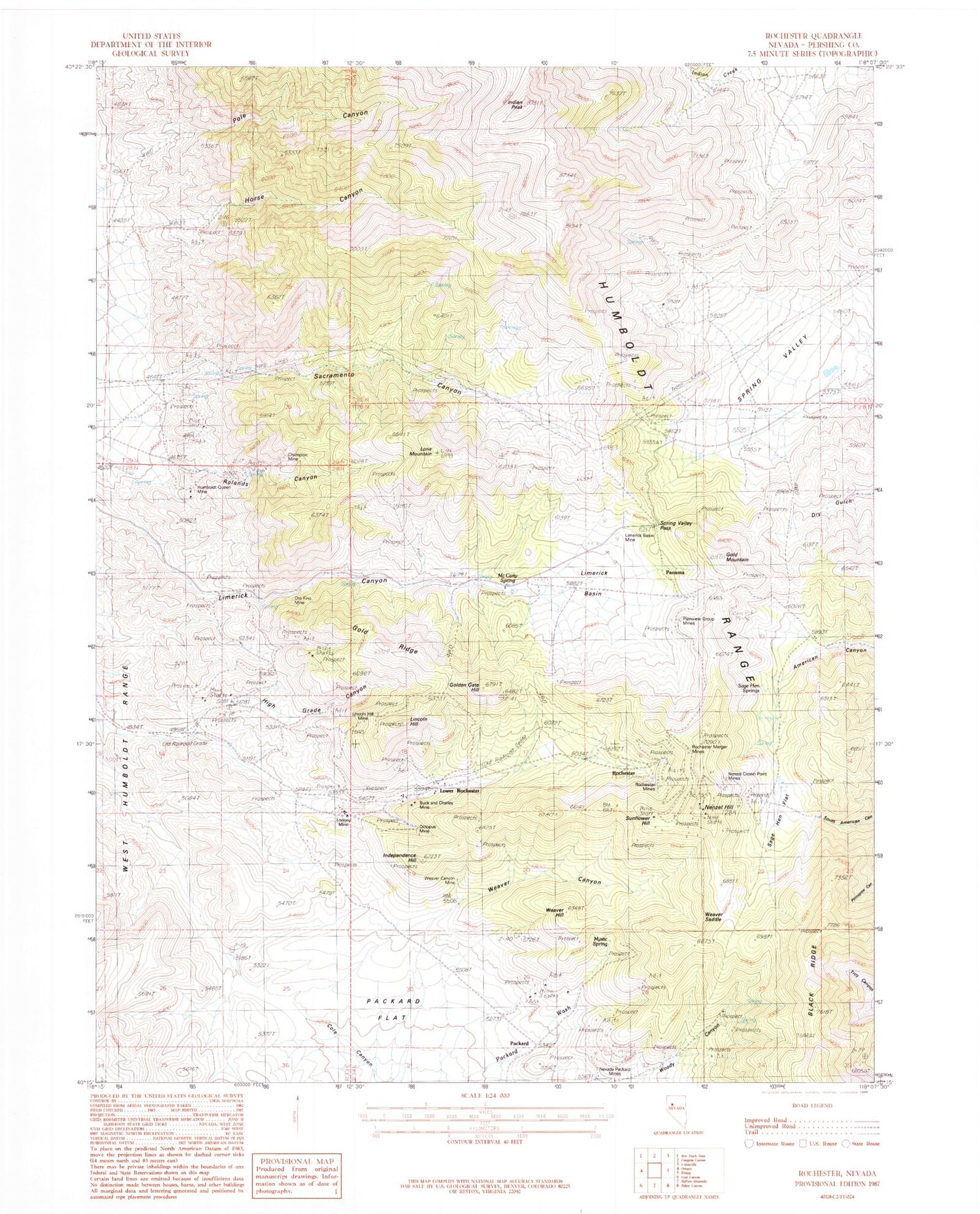
Classic USGS Rochester Nevada 7.5'x7.5' Topo Map
Couldn't load pickup availability
Historical USGS topographic quad map of Rochester in the state of Nevada. Map scale may vary for some years, but is generally around 1:24,000. Print size is approximately 24" x 27"
This quadrangle is in the following counties: Pershing.
The map contains contour lines, roads, rivers, towns, and lakes. Printed on high-quality waterproof paper with UV fade-resistant inks, and shipped rolled.
Contains the following named places: Buck and Charley Mine, Buck and Charlie Mill, Central Rochester, Champion Mine, East Rochester, Fitting Fault Mine, Gold Mountain, Gold Ridge, Golden Gate Hill, Hagan Mine, Hamilton Beryl Mine, High Grade Canyon, Horse Canyon, Humboldt Queen Mine, Independence Hill, Indian Peak, Juniper Basin, Keath Canyon Spring, Lima, Lima Post Office, Limerick, Limerick Basin, Limerick Basin Mine, Lincoln Hill, Lincoln Hill Mine, Lone Mountain, Looney Mill, Looney Mine, Lower Rochester, Lower Rochester Post Office, McCarty Spring, Mystic Spring, Nenzel Crown Point Mines, Nenzel Hill, Nevada Packard Mines, Octopus Mine, Oro Fino Mine, Packard, Packard Gulch Spring, Packard Mill, Panama, Panama Well, Plainview Group Mines, Pole Canyon, Pole Canyon Mine, Rochester, Rochester Basin, Rochester Canyon Mine, Rochester Heights, Rochester Merger Mines, Rochester Mines, Rochester Mines Company Mill, Rochester Mining District, Rochester Post Office, Rochester Weaver Mining Company Mines, Rolands Canyon, Sacramento Canyon, Sacramento Canyon Mine, Sacramento Mining District, Sage Hen Flat, Sage Hen Springs, Spring Valley, Spring Valley Canyon, Spring Valley Pass, Sunflower Hill, Upper Rochester Post Office, Vanderwater, Vanderwater Post Office, Weaver Canyon, Weaver Canyon Mine, Weaver Hill, Weaver Saddle, ZIP Code: 89419


