MyTopo
Classic USGS Rochester New Hampshire 7.5'x7.5' Topo Map
Couldn't load pickup availability
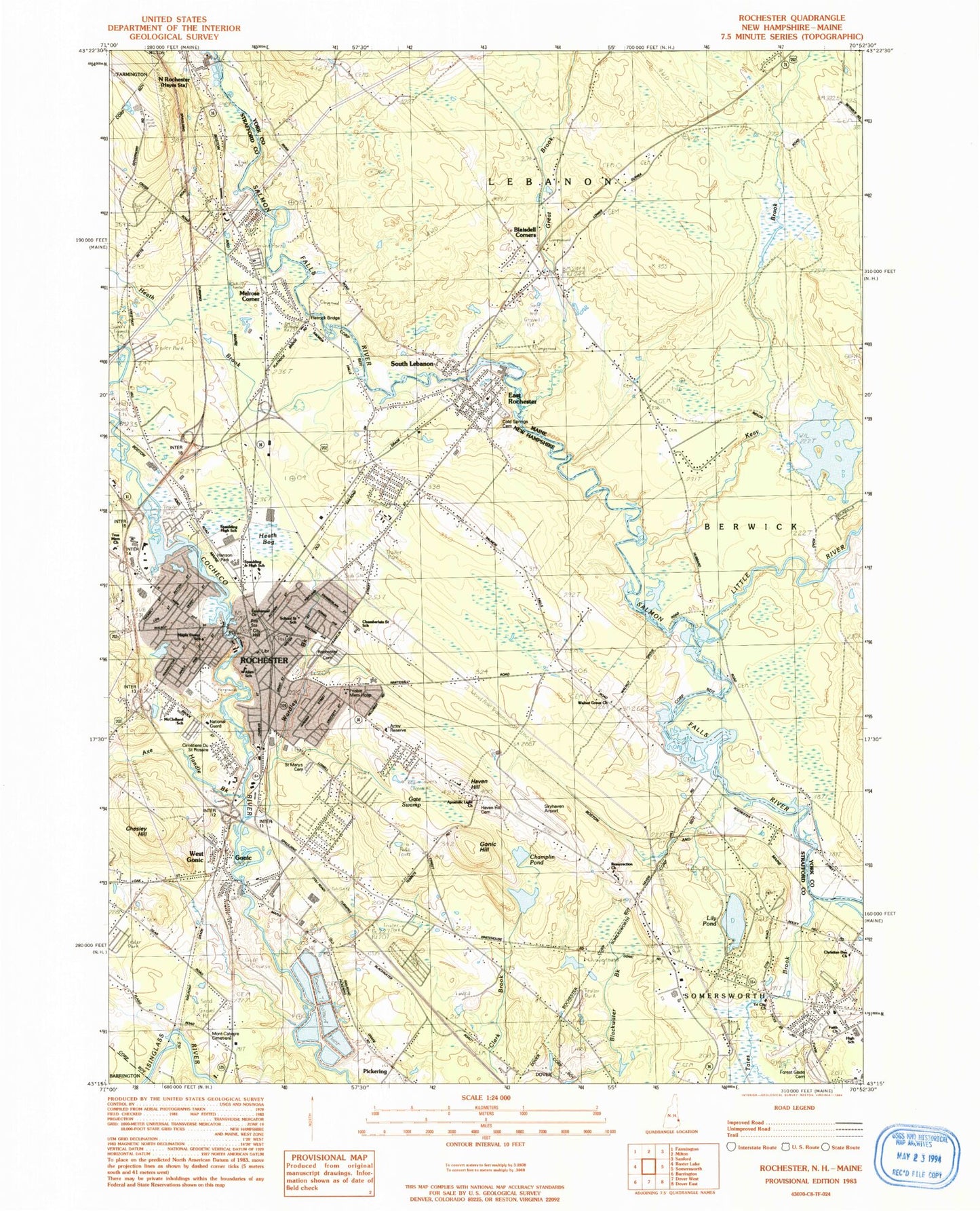
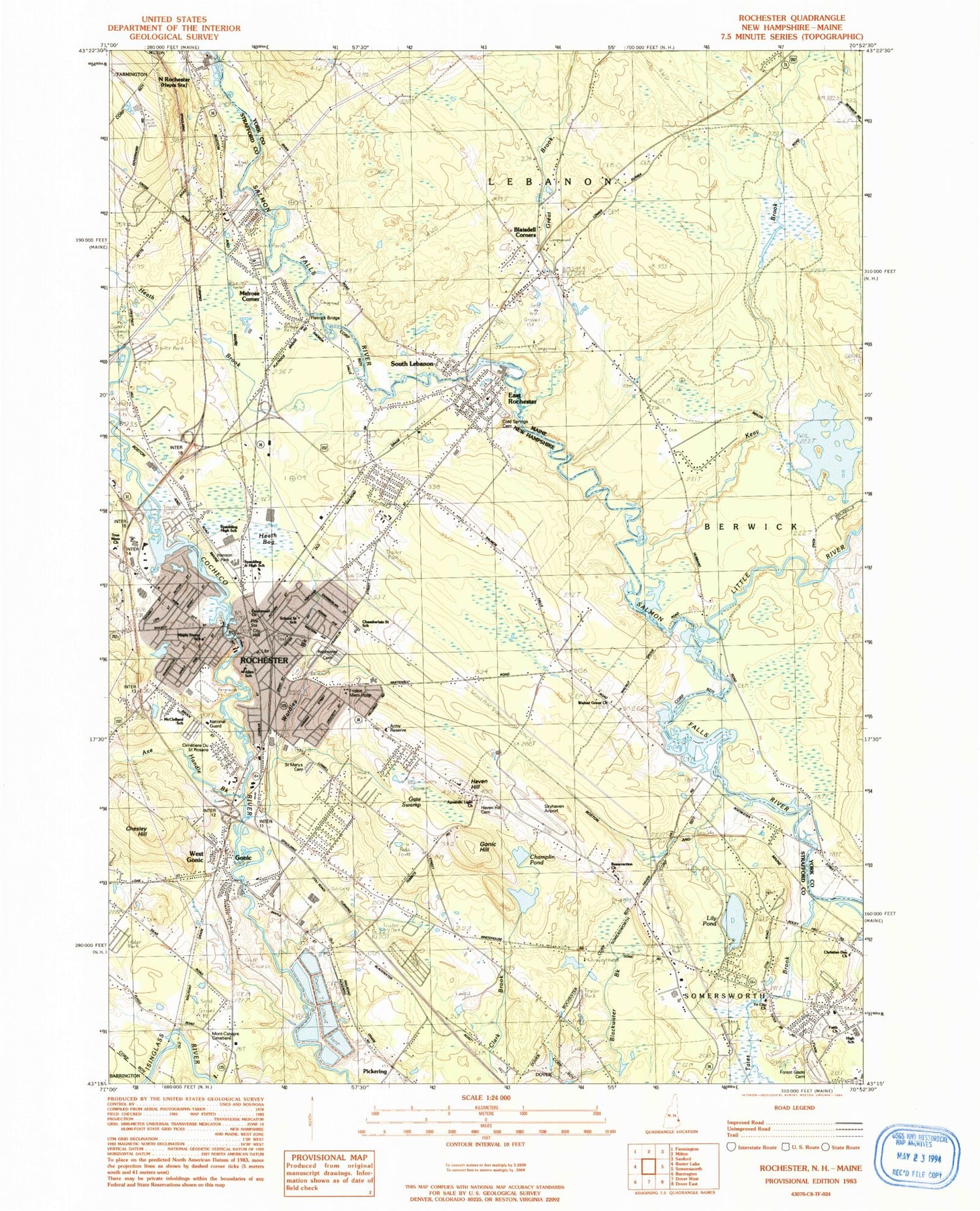
Historical USGS topographic quad map of Rochester in the states of New Hampshire, Maine. Map scale may vary for some years, but is generally around 1:24,000. Print size is approximately 24" x 27"
This quadrangle is in the following counties: Strafford, York.
The map contains contour lines, roads, rivers, towns, and lakes. Printed on high-quality waterproof paper with UV fade-resistant inks, and shipped rolled.
Contains the following named places: Academy for Equine Sciences Charter School, Apostolic Light Church, Assembly of God Church, Axe Handle Brook, Baxter Mill Dam, Blaisdell Corners, Bud Carlson Academy, Cardinals Plaza Shopping Center, Chamberlain Street School, Champlin Pond, Champlin Pond Dam, Chesley Hill, Church of Christ, Church of God, Church of the Redeemer, City of Rochester, City of Somersworth, Cocheco River Reservoir, Cold Springs Cemetery, Community Baptist Church, Copps Bridge, East Rochester, East Rochester Public Library, East Rochester School, Emmanuel Child Care Center, Emmanuel Church, Faith Church, First Congregational Church, First Parish United Church, First United Methodist Church, Flatrock Bridge, Forest Glade Cemetery, Forest Glade Park, Frisbie Memorial Hospital, Gate Swamp, Gonic, Gonic Dam, Gonic Hill, Gonic Post Office, Gonic School, Grace Community Church, Granite State Business Park, Granite State College at Rochester, Great Brook, Greater Rochester Chamber of Commerce, Hanson Park, Harvest of Praise Church of God, Haven Hill, Haven Hill Business Center, Haven Hill Cemetery, Heath Bog, Heath Brook, Holy Rosary Cemetery, Holy Rosary Church, Jack and Jill Kindergarten and Nursery School, Keay Brook, Lake Murdock, Lebanon Fire Department and Rescue Station 2, Lebanon Rescue Squad, Lighthouse Christian Academy, Lilac Mall Shopping Center, Lilac Plaza North Shopping Center, Lily Pond, Lions Club Ice Rink and Fishing Pond, Little River, Maple Street School, Maple Wood Elementary School, Market Basket Plaza Shopping Center, Mast Point Dam, McClelland Elementary School, McClelland Preschool, Melrose Corner, Mill Pond Dam, Monarch School of New England, Mont-Calvaire Cimetiere, Nancy Loud School, North Rochester, Old Town Cemetery, Peters Marsh Brook, Pickering, Pine Hill Brook, Resurrection Church, Richard W Creteau Regional Technology Center, Rochester, Rochester Catholic School, Rochester Cemetery, Rochester Child Care Center, Rochester City Dam Number 1, Rochester City Hall, Rochester Commercial and Industrial District, Rochester Commons, Rochester Country Club, Rochester Fairgrounds, Rochester Fire Department, Rochester Fire Department Station 2, Rochester Mall Shopping Center, Rochester Middle School, Rochester Police Department, Rochester Post Office, Rochester Public Library, Rochester Sewage Lagoons, Rochester Sewage Lagoons Dikes, Roger Allen Park, Saint Elizabeth Seton School, Saint Leo Catholic Kindercare Child Care Center, Saint Marys Cemetery, Saint Marys Church, Salmon Falls Airport, Salmon Falls River Reservoir, Salmon River Reservoir, Salvation Army, School on the Hill, School Street School, Shoreyville Plaza Shopping Center, Skydive Lebanon Airport, Skyhaven Airport, Somersworth Career Technical Center, Somersworth Cemetery, Somersworth Child Care Center, Somersworth High School, South Lebanon, Southeastern New Hampshire Christian Academy, Spaulding High School, Spaulding Junior High School, Strafford County YMCA, Tates Brook, The Works Athletic Club, Tri - City Christian Academy, Tri City Church, Trinity Anglican Catholic Church, True Memorial Church, Wallingford Pond, Walnut Grove Church, West Gonic, William Allen School, WWEM-FM (Rochester), WZNN-AM (Rochester), ZIP Codes: 03839, 03867, 03868, 03878


