MyTopo
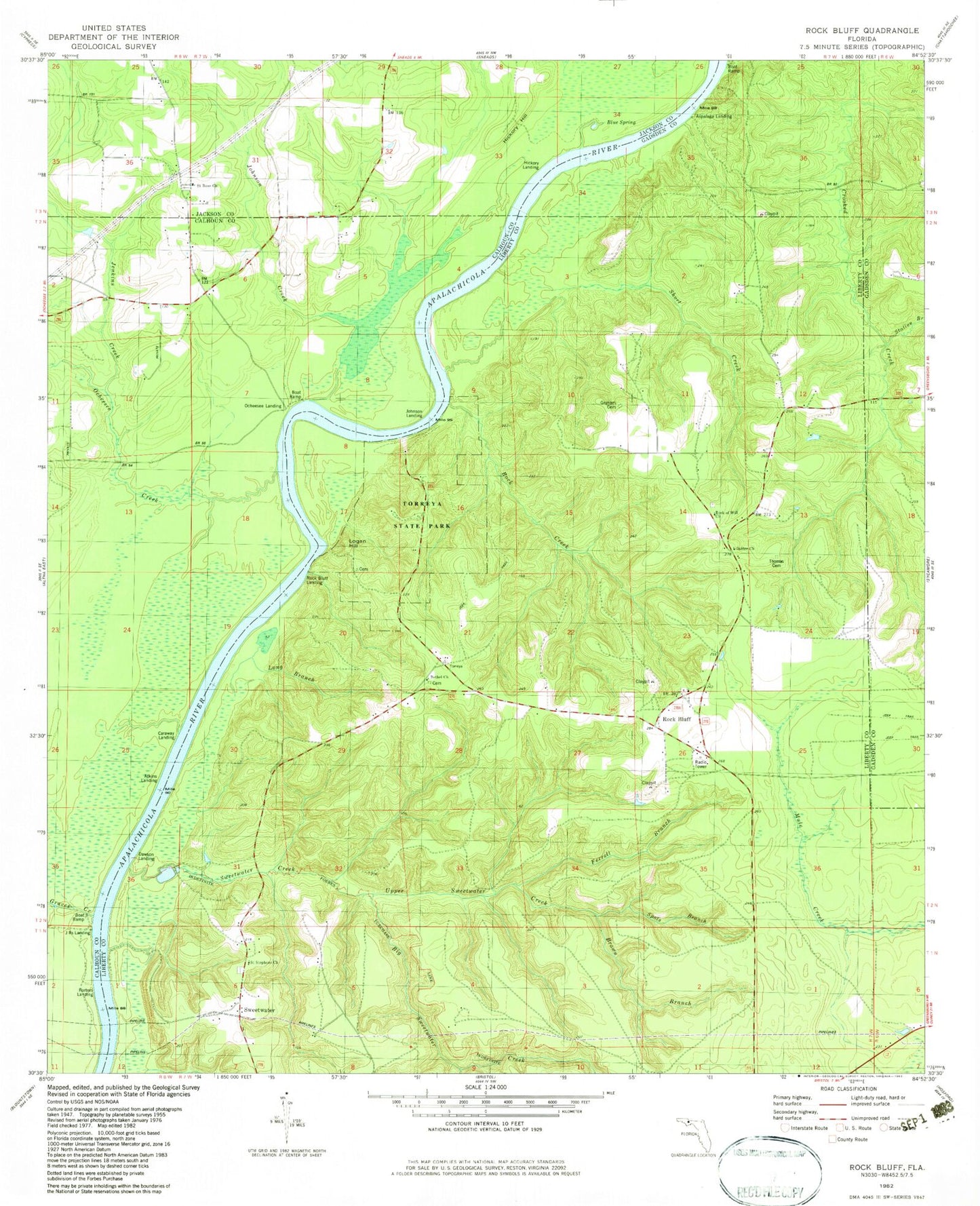
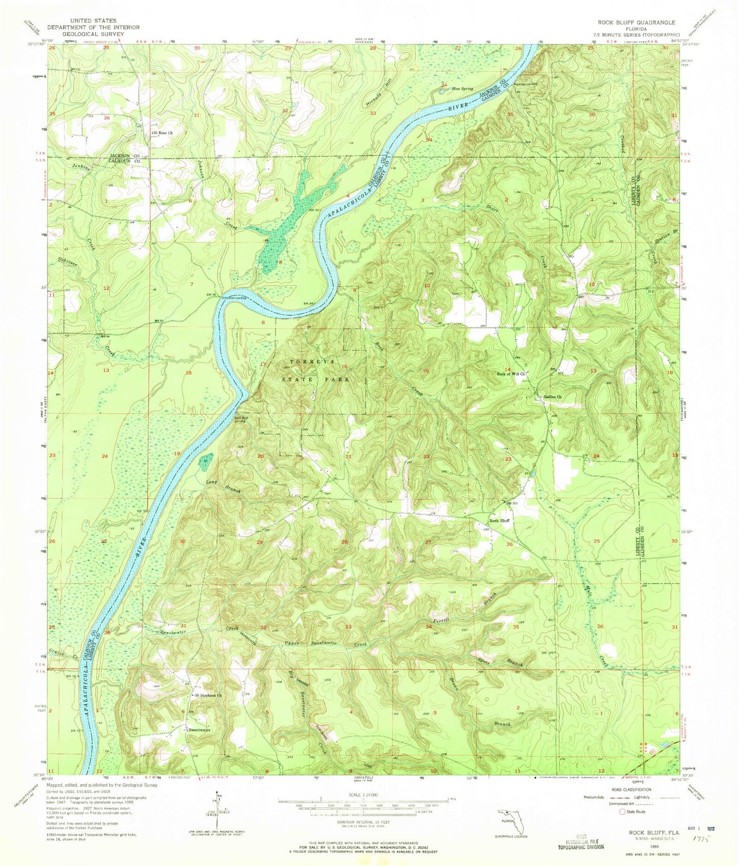
Classic USGS Rock Bluff Florida 7.5'x7.5' Topo Map
Couldn't load pickup availability
Historical USGS topographic quad map of Rock Bluff in the state of Florida. Typical map scale is 1:24,000, but may vary for certain years, if available. Print size: 24" x 27"
This quadrangle is in the following counties: Calhoun, Gadsden, Jackson, Liberty.
The map contains contour lines, roads, rivers, towns, and lakes. Printed on high-quality waterproof paper with UV fade-resistant inks, and shipped rolled.
Contains the following named places: Big Sweetwater Creek, Blue Spring, Brown Branch, Ferrell Branch, Galilee Church, Graves Creek, Hickory Hill, Jenkins Creek, Johnson Creek, Long Branch, Ocheesee Creek, Rock Creek, Rock of Will Church, Saint Rose Church, Saint Stephens Church, Short Creek, Spots Branch, Station Branch, Sweetwater Creek, Torreya State Park, Upper Sweetwater Creek, Hyhappo (historical), Ocheesee Landing, Rock Bluff, Aspalaga Landing, Rock Bluff Landing, Sweetwater, Reds Fish Camp, Able Airpark (historical), Rockbluff Volunteer Fire Department


