MyTopo
Classic USGS Rock Branch Georgia 7.5'x7.5' Topo Map
Couldn't load pickup availability
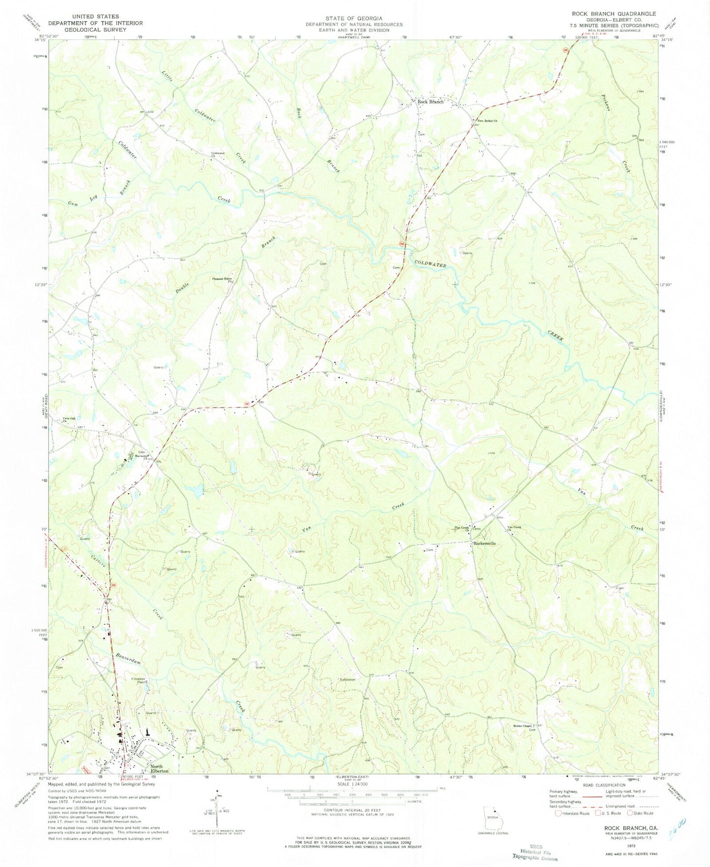
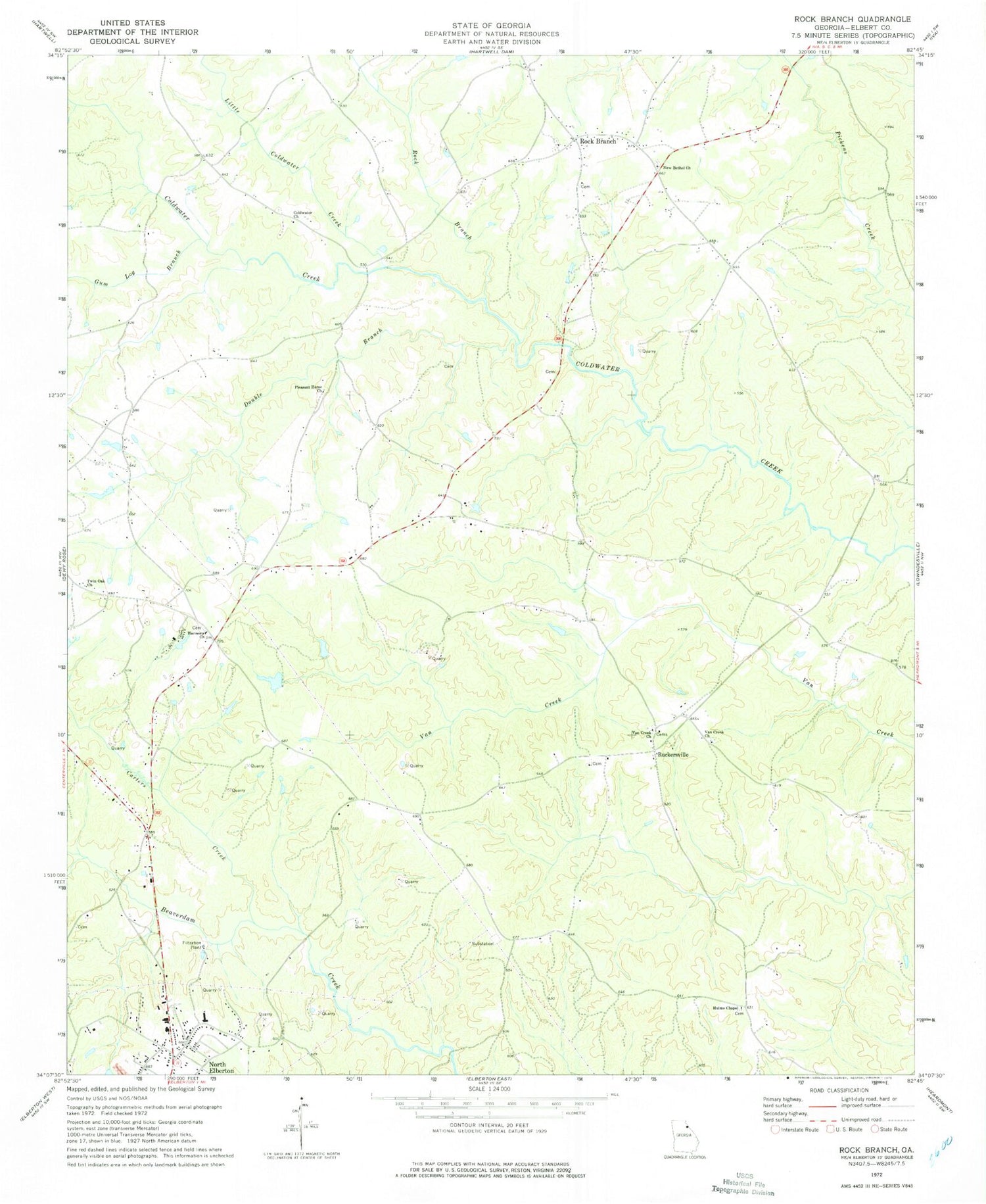
Historical USGS topographic quad map of Rock Branch in the state of Georgia. Map scale may vary for some years, but is generally around 1:24,000. Print size is approximately 24" x 27"
This quadrangle is in the following counties: Elbert.
The map contains contour lines, roads, rivers, towns, and lakes. Printed on high-quality waterproof paper with UV fade-resistant inks, and shipped rolled.
Contains the following named places: Adams Mill, Beaverdam Elementary School, Camp Harmony, Carters Creek, Clarks Junction, Coldwater, Coldwater Cemetery, Coldwater Church, Coldwater Division, Concordia, Double Branch, Double Branch Church, Elbert County Fire Department Station 3, Evergreen School, Fains Store, Gum Log Branch, Harmony, Harmony Cemetery, Harmony Church, Hulme Chapel, Little Coldwater Creek, New Bethel Cemetery, New Bethel Church, North Elberton, North Elberton Census Designated Place, Pleasant Home Church, Robin Blue Monument, Rock Branch, Rock Branch Baptist Church, Rock Branch Cemetery, Rock Branch Church, Ruckersville, Ruckersville Cemetery, Ruckersville United Methodist Church, Twin Oak Church, Van Creek Church, Vans Creek Cemetery, Vaughter Lake, Vaughter Lake Dam, Wards School


