MyTopo
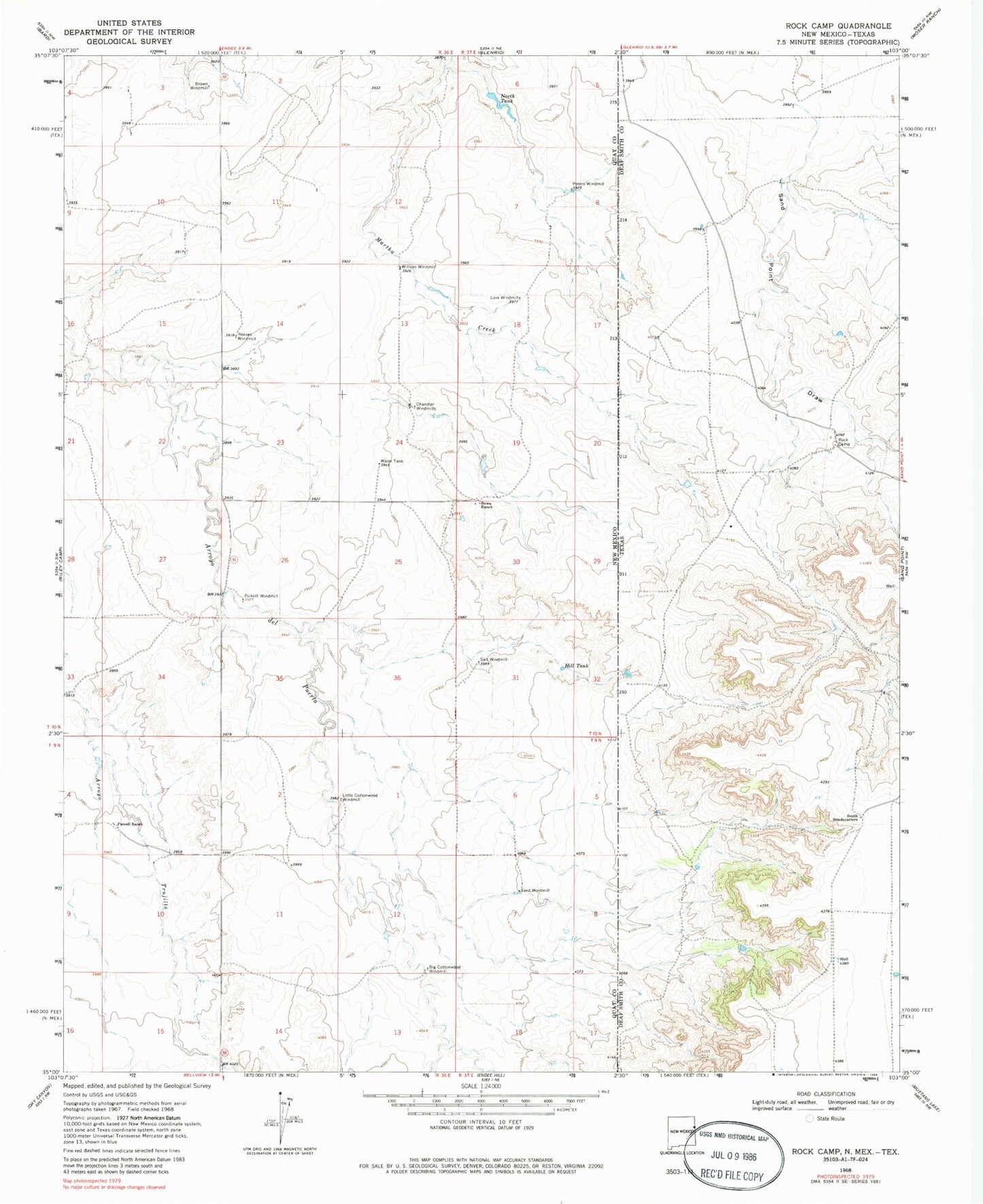
Classic USGS Rock Camp Texas 7.5'x7.5' Topo Map
Couldn't load pickup availability
Historical USGS topographic quad map of Rock Camp in the states of Texas, New Mexico. Map scale may vary for some years, but is generally around 1:24,000. Print size is approximately 24" x 27"
This quadrangle is in the following counties: Deaf Smith, Quay.
The map contains contour lines, roads, rivers, towns, and lakes. Printed on high-quality waterproof paper with UV fade-resistant inks, and shipped rolled.
Contains the following named places: 05217 Water Well, 05219 Water Well, 05220 Water Well, 05221 Water Well, 05222 Water Well, 05223 Water Well, 05224 Water Well, 05226 Water Well, 05229 Water Well, 05231 Water Well, 05232 Water Well, 05234 Water Well, Big Cottonwood Windmill, Bowe Ranch, Bridwell Springs, Brown Windmill, Chandler Windmills, Ford Windmill, Hill Tank, Little Cottonwood Windmill, Love Windmill, North Tank, Peters Windmill, Pickett Windmill, Purcell, Purcell Ranch, Reeves Windmill, Rock Camp, Salt Windmill, South Headquarters, Willson Windmill


