MyTopo
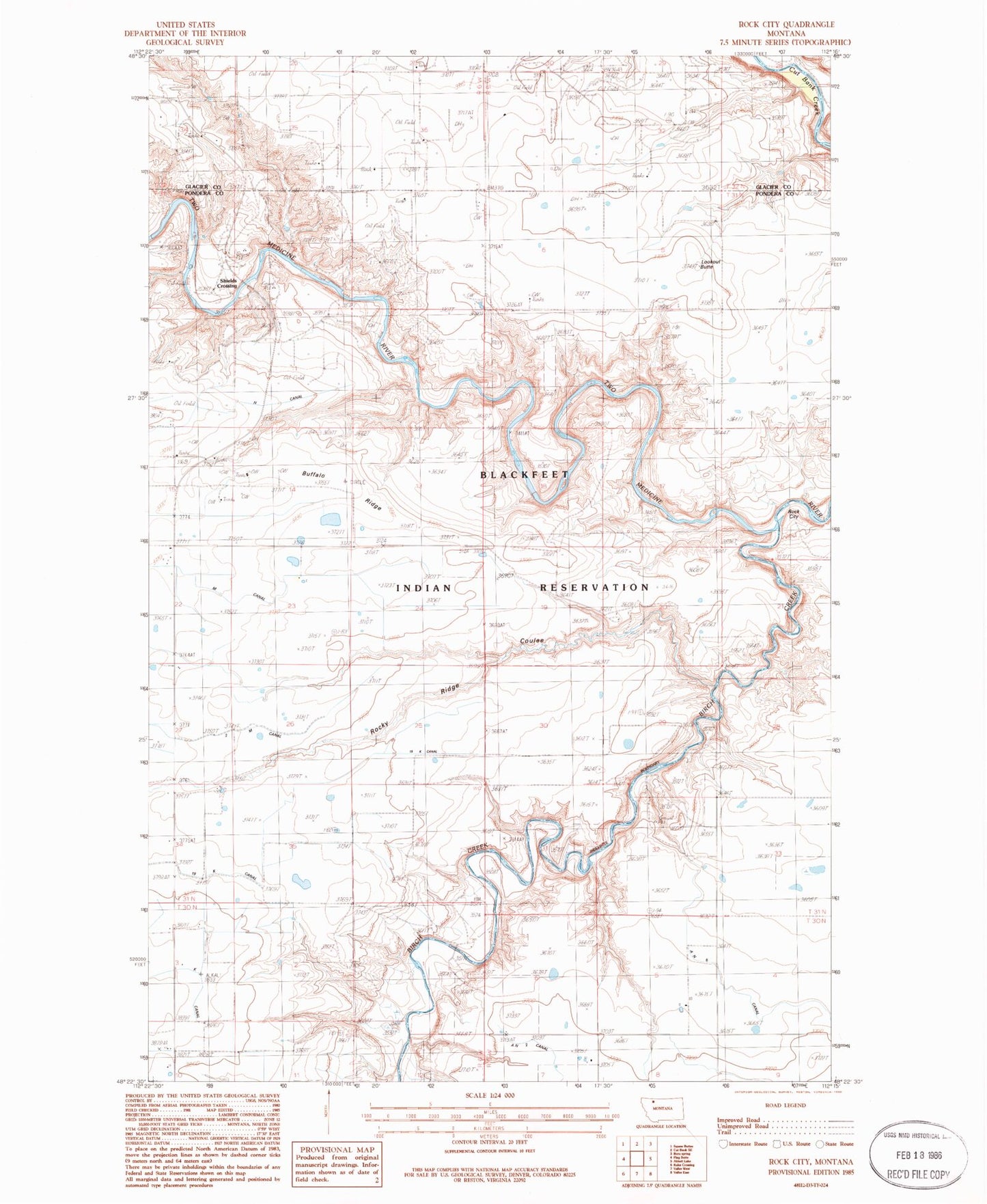
Classic USGS Rock City Montana 7.5'x7.5' Topo Map
Couldn't load pickup availability
Historical USGS topographic quad map of Rock City in the state of Montana. Map scale may vary for some years, but is generally around 1:24,000. Print size is approximately 24" x 27"
This quadrangle is in the following counties: Glacier, Pondera.
The map contains contour lines, roads, rivers, towns, and lakes. Printed on high-quality waterproof paper with UV fade-resistant inks, and shipped rolled.
Contains the following named places: 31N05W34CCCC01 Well, AN Six Canal, Birch Creek, Blair Crossing, Blair Mine, Buffalo Ridge, K Canal, Kennedy Mine, Kingston Mine, Lenoir Ranch, Lookout Butte, Nineteen K Canal, Pioneer Farm, Rock City, Rocky Ridge Coulee, Shields Crossing, Slezak Mine, Two M Canal, Uleberg School