MyTopo
Classic USGS Rock Creek Montana 7.5'x7.5' Topo Map
Regular price
$16.95
Regular price
Sale price
$16.95
Unit price
per
Couldn't load pickup availability
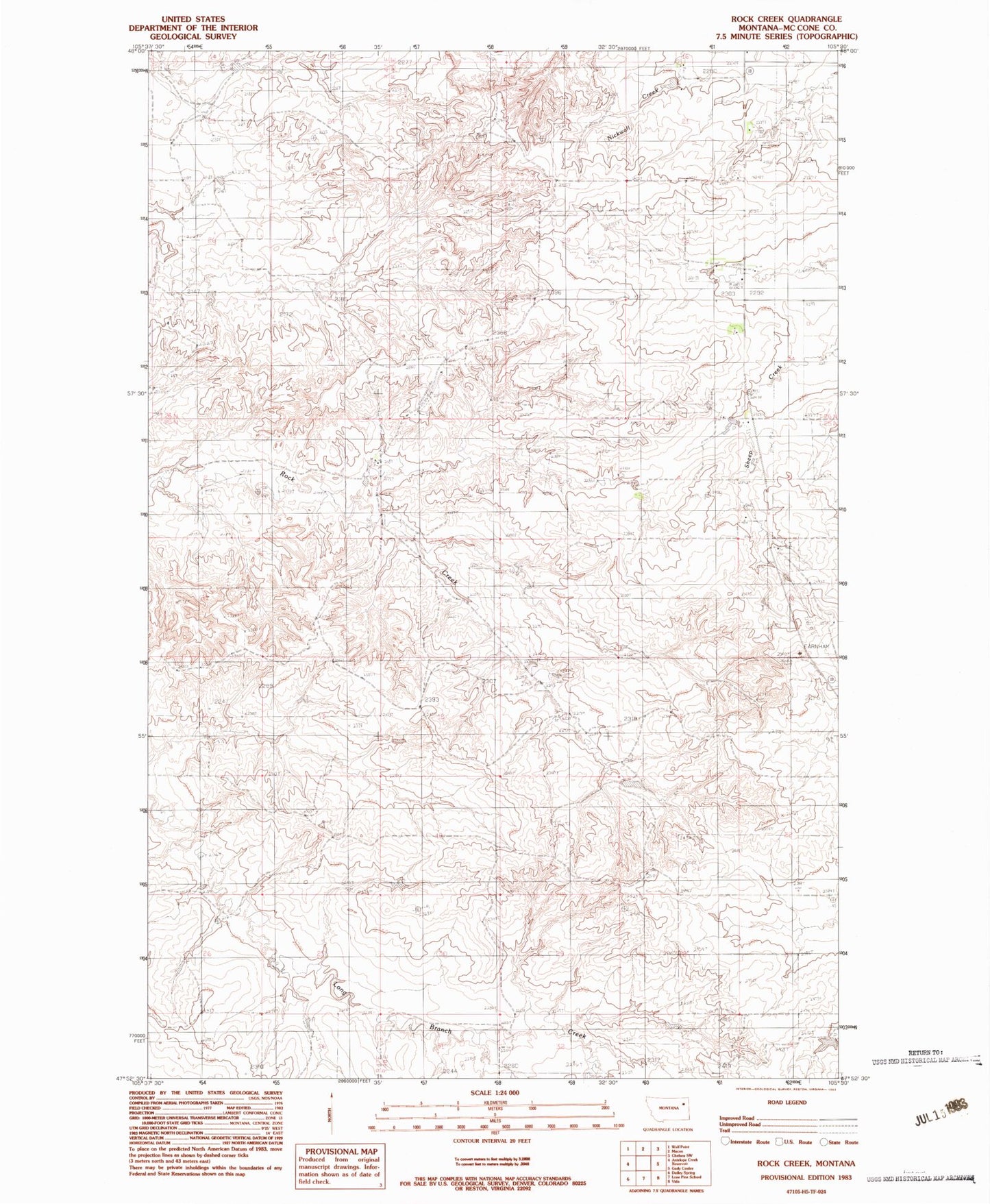
Historical USGS topographic quad map of Rock Creek in the state of Montana. Map scale may vary for some years, but is generally around 1:24,000. Print size is approximately 24" x 27"
This quadrangle is in the following counties: McCone.
The map contains contour lines, roads, rivers, towns, and lakes. Printed on high-quality waterproof paper with UV fade-resistant inks, and shipped rolled.
Contains the following named places: 25N48E10BABD01 Well, 26N47E35CBCA01 Well, 26N48E21ABBC01 Well, 26N48E21BAA_01 Well, 26N48E27CCBA01 Well, Hintz Dam