MyTopo
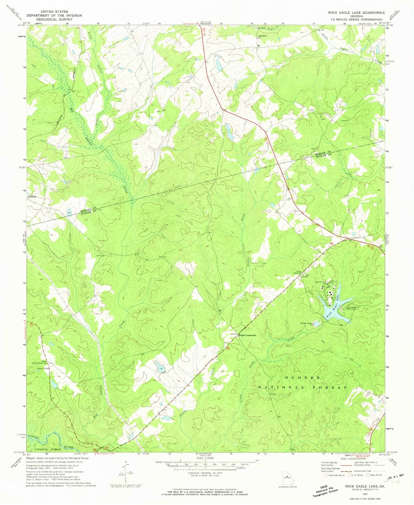
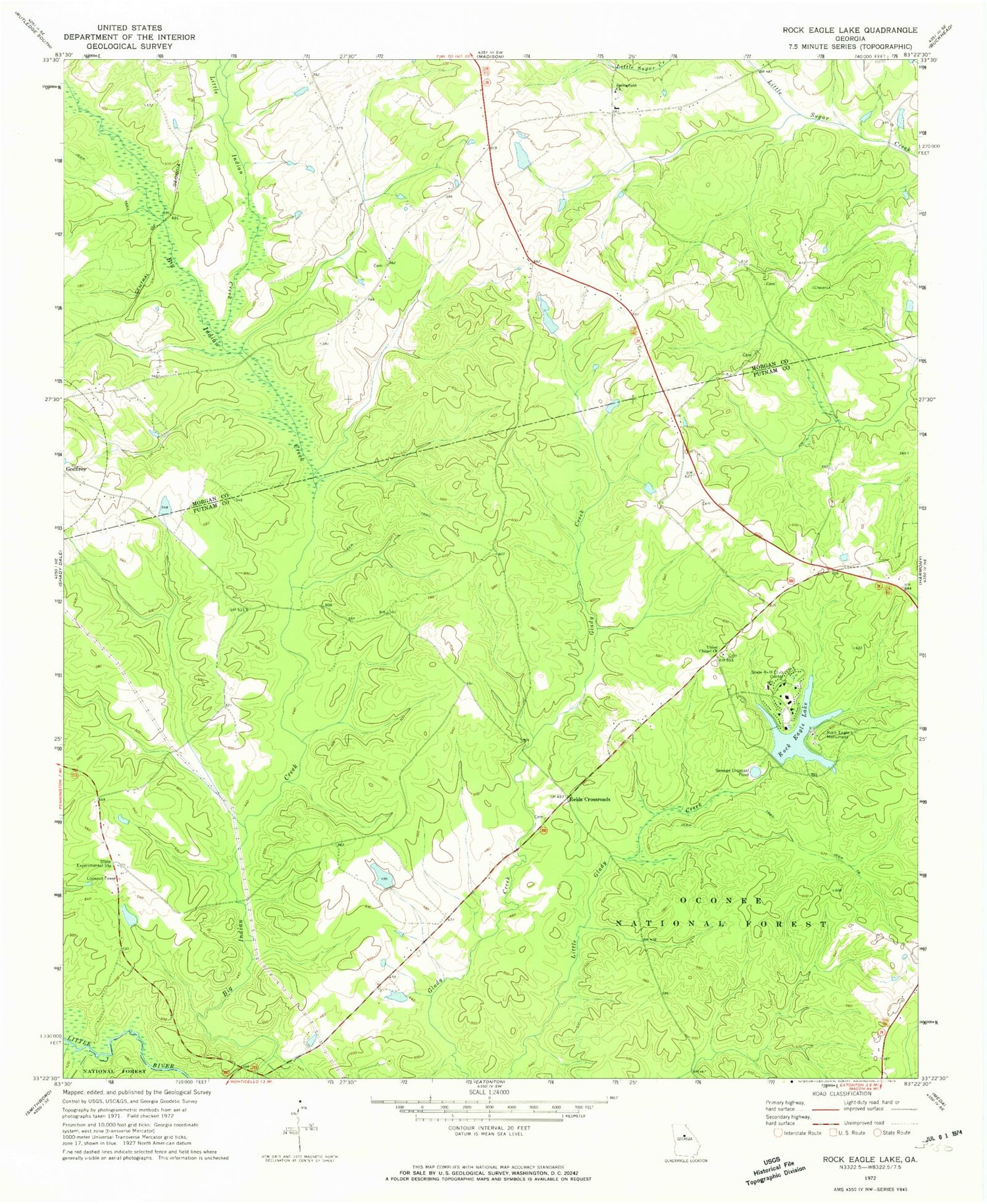
Classic USGS Rock Eagle Lake Georgia 7.5'x7.5' Topo Map
Couldn't load pickup availability
Historical USGS topographic quad map of Rock Eagle Lake in the state of Georgia. Typical map scale is 1:24,000, but may vary for certain years, if available. Print size: 24" x 27"
This quadrangle is in the following counties: Morgan, Putnam.
The map contains contour lines, roads, rivers, towns, and lakes. Printed on high-quality waterproof paper with UV fade-resistant inks, and shipped rolled.
Contains the following named places: Little Indian Creek, Reids Crossroads, Rock Eagle Lake, Rock Eagle Monument, Springfield Baptist Church, Union Chapel Church, Little Glady Hunt Camp, Oconee Work Center, Moseley Lookout Tower, Thompson Dam, Rock Eagle Lake Dam, Hill Dam, Hill Lake, Bruce Lake Dam, Bruce Lake, Dearing Number Six Lake Dam, Dearing Number Six Lake, Davis Lake Dam, Davis Lake, Georgia Experiment Station Dam, Georgia Experiment Station Lake, Experiment Lake Number One Dam, Experiment Lake Number One, Mithchems School (historical), Shepherd Cemetery, Trinity Church, Badger Creek, Baltimore Branch, Central Georgia Experiment Station, Presley Mill (historical), Sandhill Church (historical), The Glades (historical), Tirzah Church (historical), Zachary Chapel (historical), Central Georgia Branch Station Wildlife Management Area, Eatonton Division, Springfield Baptist Church Cemetery, Morgan County Fire Rescue Department Station 8


