MyTopo
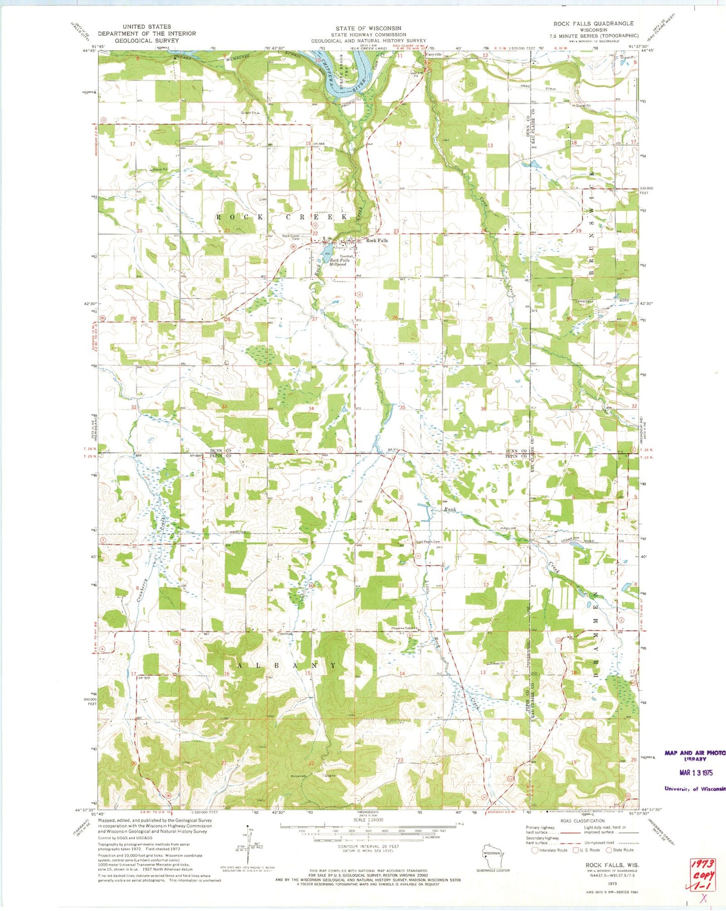
Classic USGS Rock Falls Wisconsin 7.5'x7.5' Topo Map
Couldn't load pickup availability
Historical USGS topographic quad map of Rock Falls in the state of Wisconsin. Map scale may vary for some years, but is generally around 1:24,000. Print size is approximately 24" x 27"
This quadrangle is in the following counties: Dunn, Eau Claire, Pepin.
The map contains contour lines, roads, rivers, towns, and lakes. Printed on high-quality waterproof paper with UV fade-resistant inks, and shipped rolled.
Contains the following named places: Albany Hill's Amish School, Chippewa Valley Church, Coon Creek, Coon Creek School, Cranberry School, Dunn County Waterfowl Production Area, East Pepin Cemetery, East Pepin School, Fairoaks School, Hayden E-7286 Dam, Little Red School, Little Rock Creek, Peru Amish School, Pleasant Hill School, Rock Creek, Rock Creek Cemetery, Rock Creek Township Fire Department, Rock Creek Township Volunteer Fire Department, Rock Falls, Rock Falls Census Designated Place, Rock Falls Dam, Rock Falls Millpond, Thomas School, Town of Albany, Town of Rock Creek, White Block School