MyTopo
Classic USGS Rock Harbor Lodge Michigan 7.5'x7.5' Topo Map
Couldn't load pickup availability
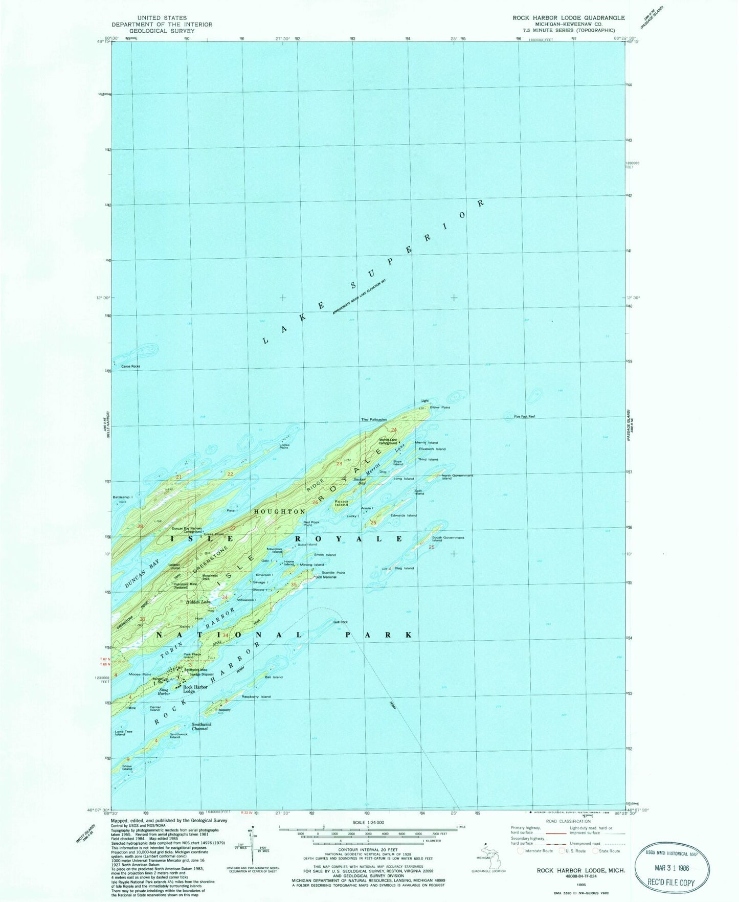
Historical USGS topographic quad map of Rock Harbor Lodge in the state of Michigan. Map scale may vary for some years, but is generally around 1:24,000. Print size is approximately 24" x 27"
This quadrangle is in the following counties: Keweenaw.
The map contains contour lines, roads, rivers, towns, and lakes. Printed on high-quality waterproof paper with UV fade-resistant inks, and shipped rolled.
Contains the following named places: Annie Island, Bailey Island, Bat Island, Battleship Island, Blake Point, Bobs Island, Boys Island, Canoe Rocks, Center Island, Daybeacon Stoll Memorial, Dog Island, Duncan Bay Narrows Campground, Edwards Island, Elizabeth Island, Emerson Island, Five Foot Reef, Flag Island, Gale Island, Glenns Island, Grass Point, Gull Rock, Hidden Lake, Hog Island, Horn Island, Howe Island, Locke Point, Lone Tree Island, Long Island, Lookout Louise, Lucky Island, Merritt Island, Merritt Lane, Merritt Lane Campground, Minong Island, Monument Rock, Moose Point, Newman Island, North Government Island, Park Place Island, Pete Island, Porter Island, Raspberry Island, Red Rock Point, Rock Harbor Lodge, Rock Harbor Post Office, Savage Island, Scoville Point, Shaw Island, Smith Island, Smithwick Channel, Smithwick Island, Smithwick Mine, Snug Harbor, South Government Island, Split Island, Stoll Trail, Sucker Bay, The Palisades, Third Island, Tobin Harbor, Tobin-Rock Harbor Campground, Wheelock Island